

1676 – J. Speed – The Mape of Hungari
Title: “The Mape of Hungari newly augmented by John Speed Ano. Dom: 1626”
Description:
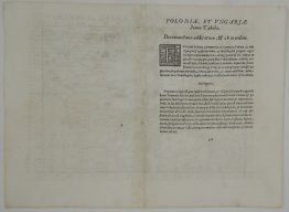
One of the most decorative maps of Hungary from John Speed’s atlas, the first World Atlas published by an Englishman. Along the top are four city views: Presburch – Bratislava, Ofen – Buda, Comorra – Kormarno and Raab – Gyor. Side panels shows the figures of an Hungarian Senator, Gentleman, Citizen and Countryman and their respective female partners. The Hungarian coat of arms appears in top centre. English text on verso provides a 17th century description of history and topography of the Hungarian Kingdom.
The map comes from John Speed atlas “Prospect of The Most Famous Parts of the World. . .” , engraved by Abraham Goos, published by Thomas Bassett & Richard Chiswell in London, 1676.
Cartographer: John Speed (1551 – 1629)
Sheet size: 55,5 x 42,2 cm
Year: 1676
Technique: copper engraving
Condition:
Good condition, paper with watermark, attractive hand colouring. Few tape traces in margin on verso. Narrow upper margin. Brownish paper.
This is an original antique map published in 1676 and NOT a modern copy or reprint
On your request I will provide a Certificate of Authenticity


")


