- Sorry, this product cannot be purchased.


C. 1716 – J.B. HOMANN – NOVA ANGLIA
Title: “NOVA ANGLIA. Septentrionali Americae implantata. Anglorumique coloniis florentissima. . .”
Description:
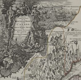
A striking old colour example of Homann’s map of the Northeast, extending north to include Maine and the St. Lawrence and south to include virtually all of New Jersey. The map shows that as the number of English settlements increased in the area, Native American tribal names are notably less plentiful than on Dutch maps of the previous century.
The decorative title cartouche shows a European bartering with an Indian for an animal pelt, one of the mainstays of the early New England economy. The cartouche also reveals what the European was offering for trade, including beads, a barrel (presumably filled with liquor), guns, hatchets, tools, and textiles. Manhattan is named as N. Loch, which shows that this map is the second state.
Comes from Johann Baptist Homann atlas “Atlas Novus…” published in Nürnberg, circa 1716.
Cartographer: Johann Baptist Homann (1664-1724)
Leaf size: 59,3 x 50,7 cm
Year: c. 1716
Technique: copper engraving
Condition:
Good condition. Watermarked paper and contemporary hand coloring. Narrow margin.
This is an original antique map published circa 1716 and NOT a modern copy or reprint
On your request I will provide a Certificate of Authenticity