

c. 1740 – R. & J. Ottens – Imperium Japonicum
2,000 €
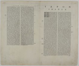
Title: “Imperium Japonicum per Regiones Digestum sex et sexaginta atque ex Ipsorum Japonensium Mappis…”
Description:
Decorative map of Japan by Reland, the first European map to use Sino-Japanese characters [Kanji]. The inset of the area around Nagasaki including Dejima island described “with the island where the Dutch settled”, it was the only place of contact between Japan and Europe until the mid of XIX century. An ornate dedication cartouche with 20 coats of arms of Japanese noble families and headed by the imperial coat of arms present too. In the text under the main map Reland writes that Japanse woodblock-printed maps are less accurate: “they draw the outlines of the coast lines with a coarser pen, because they lack the European tools”. Reland emphasises that he only used Japanese maps for place-name accuracy. The map is dedicated to Jean-Paul Bignon, librarian to King Louis XIV of France who had ordered it to be made. Third state.
Comes from the atlas “Atlas sive Geographia compendiosa in qua Orbis Terrarum pacis attamen novissimis Tabulis Ostenditur. – Atlas Nouveau, contenant toutes les partis du monde …” engraved by Balthasar Ruyter, cartographer Adrien Reland and published by Reinier & Josua Ottens in Amsterdam circa 1740.
Cartographer/Publisher: Reinier & Josua Ottens
Sheet size: 64,2 x 54,1 cm
Year: c. 1740
Technique: copper engraving
Condition:
Very good, original condition. Contemporary coloring.
This is an original antique map published circa 1740 and not a modern copy or reprint
On your request I will provide a Certificate of Authenticity
In stock


")


