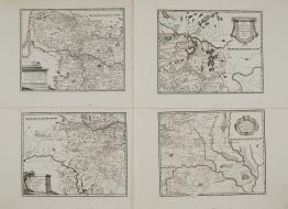
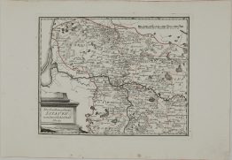
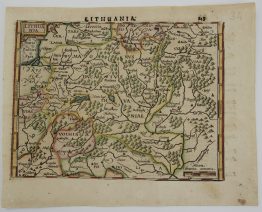
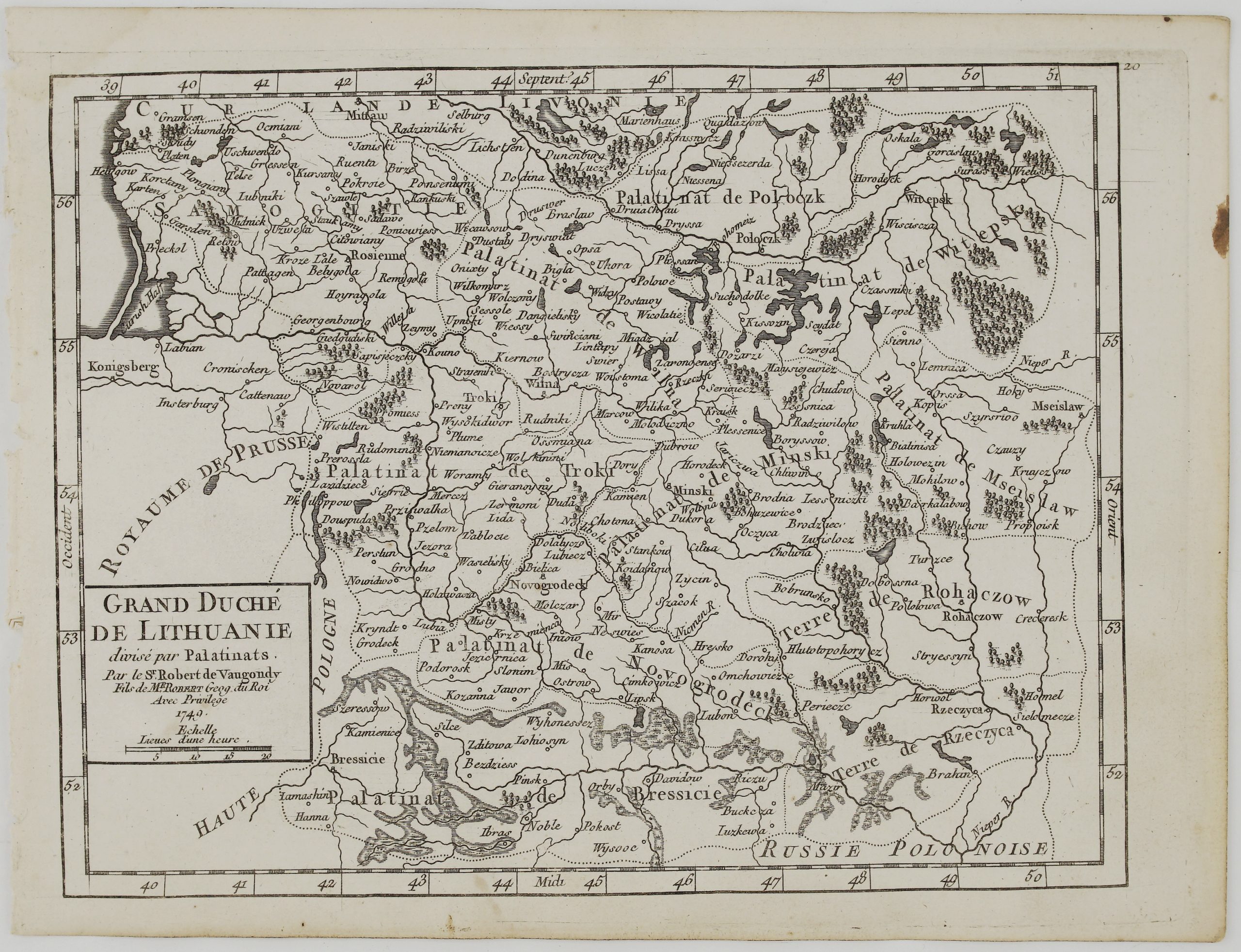
1748 – G. R. Vaugondy – Pologne
100 €
Title: “Etats De La Courone de Pologne ou sont les Royau.es De Pologne, Le Grd. Duche de Lithuanie, La Russie Noire, La Volhinie &c. Par le Sr. Robert, Geog. du Roi. Avec Privilige , 1748…”
Description:
The small and detailed map centered on Poland, Lithuania and Belarus.
Comes from “Atlas Portatif, Universel et Militaire”, published by Robert de Vaugondy in Paris, 1748.
Cartographer: Gilles Robert de Vaugondy (1688-1766)
Sheet size: 18,5 x 24,1 cm
Year: 1748
Technique: copper engraving
Condition:
Good condition.
This is an original antique map published in 1750 and NOT a modern copy or reprint.
On your request I will provide a Certificate of Authenticity
In stock