1614 – S. Munster – Europa Regina
1,300 €
Title: “[Europa Regina]”
Description:
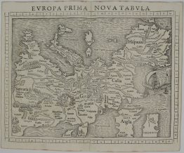
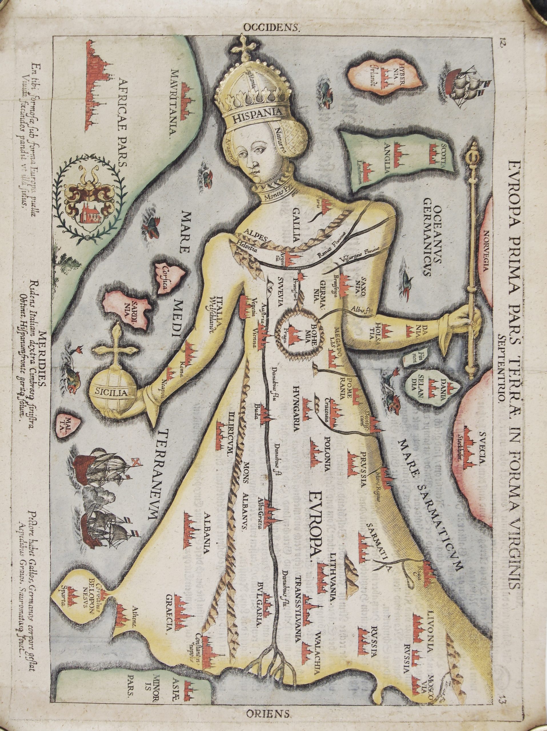
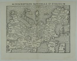
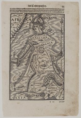
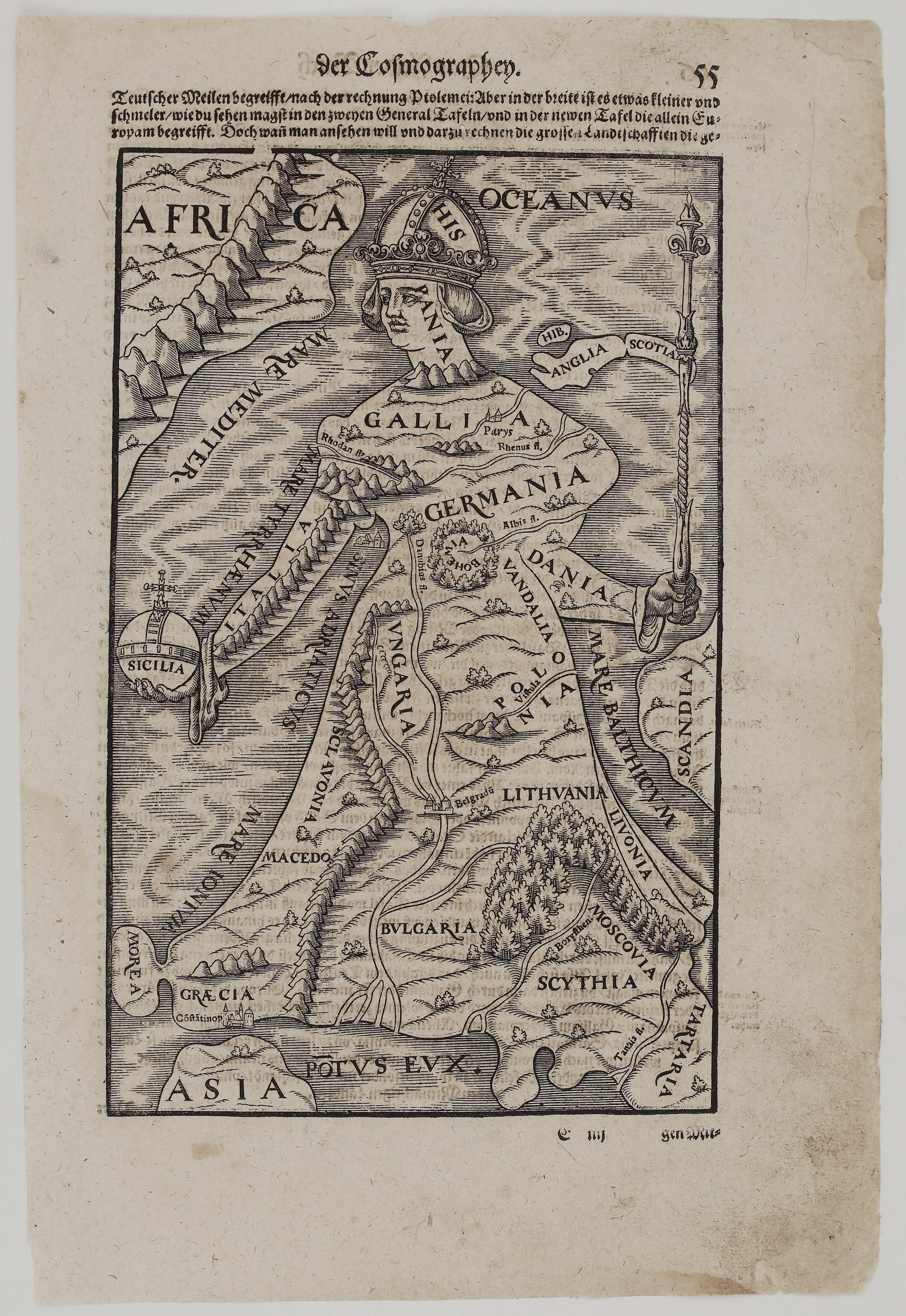
This is one of the most celebrated cartographic curiosities of the Renaissance: the continent of Europe drawn as a crowned queen. The idea goes back to the Tyrolean Johannes Putsch (Bucius), who first drew Europe in the form of a virgin queen in 1537. Münster’s publishers added this simplified woodcut version to the Cosmographey in 1588, and it remained in the work until the last edition of 1628.
The map has west at the top, and every part of the figure is a country or sea:
- Head, crown and body: Spain (“Hispania”) is the crowned head, France (“Gallia”) and Germany (“Germania”) form the bust, and Bohemia, framed by a wreath, is her heart.
- Arms: Italy is her right arm holding Sicily as an imperial orb. Denmark (“Dania”) is her left arm, with a sceptre that carries England, Scotland and Ireland as a banner.
- Robe: her flowing robe is made up of Hungary, Poland (“Polonia”), Lithuania (“Lithuania”) and Livonia, with Muscovy, Scythia and Tartary at the hem. Bulgaria, Macedonia, Slavonia, Greece with Constantinople, and the Morea stretch down towards the Black Sea (“Pontus Eux.”).
- Around her: Africa, Asia, Scandinavia (“Scandia”), the Ocean, and the Mediterranean, Tyrrhenian, Adriatic, Ionian and Baltic seas.
- Rivers and cities: the Rhône, Rhine, Elbe, Danube, Vistula, Dnieper (“Borysthenes”) and Don (“Tanais”) are marked, along with Paris and Belgrade.
The image is often read as a symbol of Habsburg rule over a united Christian Europe. Lithuania, Poland and Livonia are shown with unusual prominence, which makes the map a natural centrepiece for a Baltic collection.
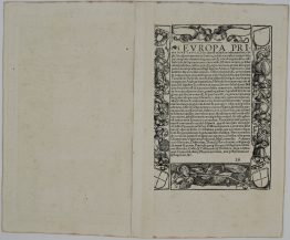
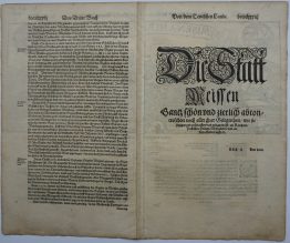
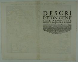
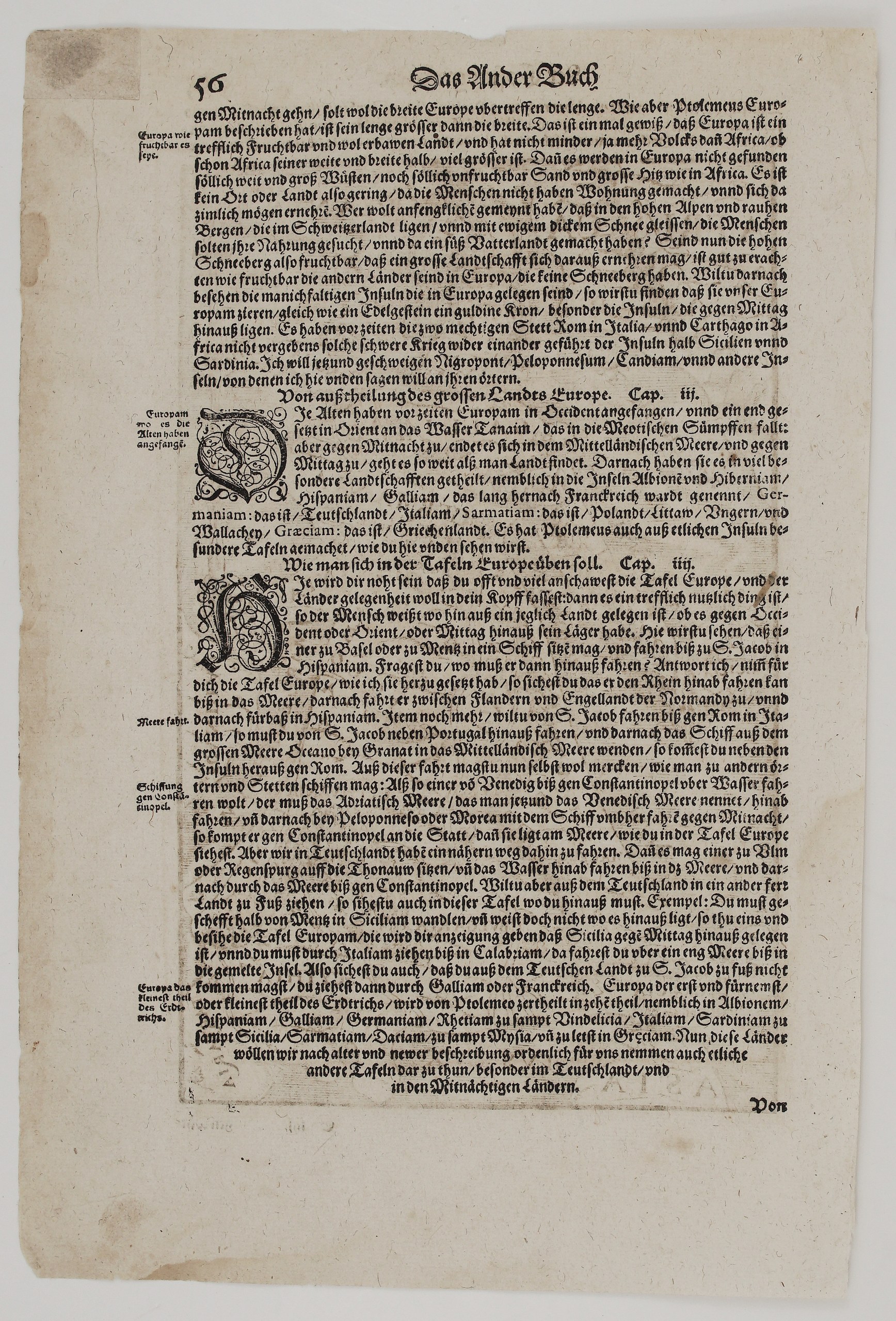
The text above the map compares the length and breadth of Europe according to Ptolemy. The other side continues the description of Europe, its fertility compared with Africa, and its islands. It then has two chapters:
- Cap. III, “Von außtheilung des grossen Landes Europe” (Of the Division of the Great Land of Europe), which names among the lands of Europe “Sarmatiam: das ist, Polandt, Littaw, Vngern vnd Wallachey” (Sarmatia, that is Poland, Lithuania, Hungary and Wallachia);
- Cap. IV, which explains how to use the map of Europe to plan journeys: down the Rhine to Santiago, from Venice to Constantinople, or down the Danube from Ulm and Regensburg.
Cartographer: Sebastian Munster (1488 – 1552)
Publisher: Henricpetri press, Basel
Leaf size: 34,5 x 23,1 cm
Year: 1614
Technique: Woodcut, with letterpress text
Reference: cf. Shirley (BL Atlases) T.MUN-1o, no. 28; Tooley, Maps and Map-Makers (MCC-1), no. 6; Manasek 3.21
Condition:
Good. Strong, dark impression of this popular woodcut. The paper is toned, with light soiling. The outer edges are irregular, with small chips and short marginal tears, all well clear of the image. There is some show-through of the text.
This is an original antique map published in 1614 and NOT a modern copy or reprint.
On your request I will provide a Certificate of Authenticity
In stock