
1646 – H. Bunting – Europa Virginis
2,500 €
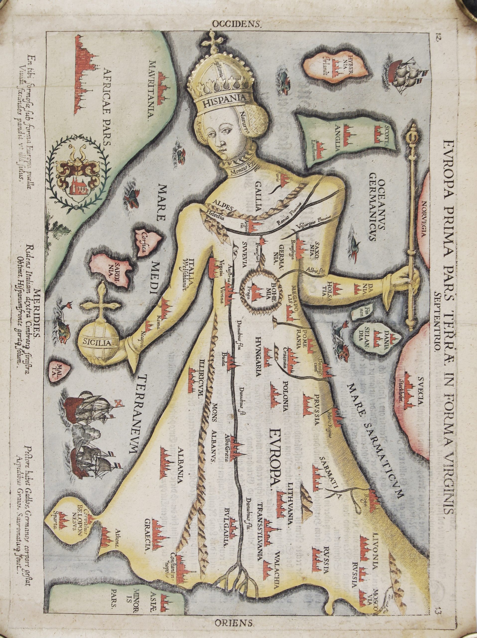
Title: “Europa Prima Pars Terrae in Forma Virginis”
Description:
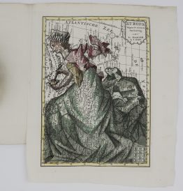
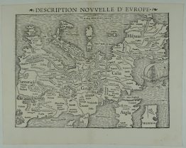
This is one of the most famous figurative maps ever made: Europe drawn as a crowned queen. It comes from Heinrich Bünting’s Itinerarium Sacrae Scripturae. Most copies on the market come from the woodcut editions of the book. This one is from the much rarer copper-engraved version of the 1646 Brunswick edition. That version has no wave pattern in the sea and a coat of arms in a laurel wreath in the lower left, and your copy has both.
The map is drawn with west at the top:
- Head: Spain, crowned, with Navarre and Aragon at her ears and the Pyrenees at her neck.
- Breast and shoulders: France is her breast, and the Alps and the Rhine lie across her shoulders like a necklace.
- Arms: her right arm is Italy, holding Sicily as an orb, and her left arm is Denmark, holding a sceptre.
- Waist: Bohemia hangs there as a round medallion.
- Robe: it sweeps east across Germany, Hungary, Poland, Lithuania, Prussia, Livonia and Russia, down to Greece and Constantinople.
Britain, Ireland, Scandinavia, North Africa and Asia Minor surround her. Towns are marked with small red town views, and ships and sea monsters fill the seas. Latin verses at the foot of the map sum her up: Italy in her right hand, Denmark in her left, Spain on her brow and France at her breast.
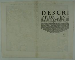
On the back is Bünting’s German text, “Kurtze Erklerung dieser Taffeln” (a short explanation of this map), which takes the reader around her body. He calls Bohemia a golden pendant hung on the chain of the Rhine. He names Germany as the true heart of Europe, “and especially my beloved fatherland, the Principality of Brunswick”. He adds that Denmark is, “in our time, God be praised, very rich and mighty”. Her right foot, he writes, is Constantinople, “where the Turkish emperor now holds his court”.
Johannes Putsch (Bucius) first drew Europe as a queen in 1537, in honour of Habsburg rule. Bünting (1545–1606), a Lutheran theologian from Hanover, included the design in his Itinerarium Sacrae Scripturae, a travel guide to the Bible. The book first appeared in 1581, and over 60 editions followed by 1757. This map is one of its three figurative maps, alongside the world as a cloverleaf and Asia as the winged horse Pegasus.
Cartographer: Heinrich Bunting (1545-1606)
Sheet size: 37,6 x 29,4 cm
Year: Brunswick, 1646
Technique: copperplate
Condition:
Good condition. Watermarked paper. Attractive hand coloring, heightened with gold. Extended right and left margins.
This is an original antique map published in 1646 and NOT a modern copy or reprint.
On your request I will provide a Certificate of Authenticity
In stock