1550 – S. Munster – Moderna Europae Descriptio
1,200 €
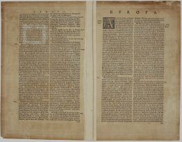
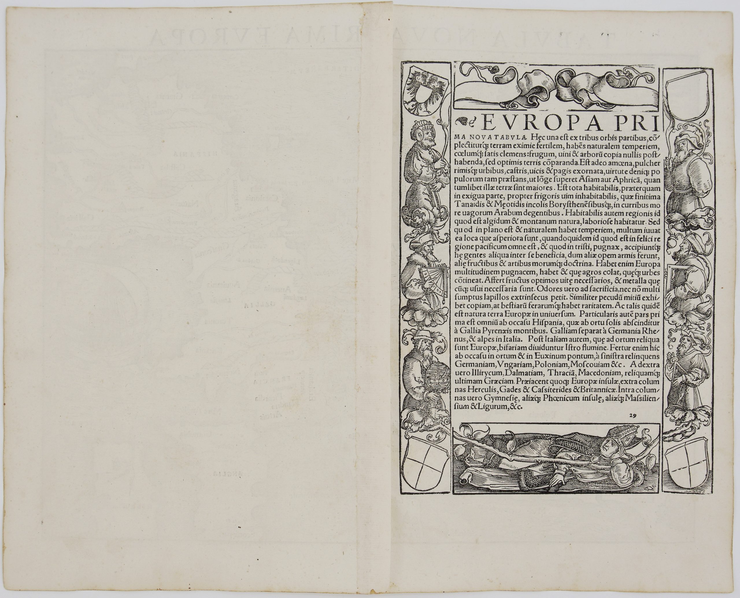
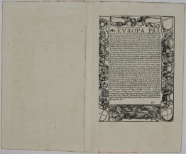
Title: “Moderna Europae Descriptio”
Description:
The rare, FIRST Latin edition, of Munster’s first modern map of the European continent oriented to the south. Shows the continent from Constantinople and Greece to the east and Spain to the southwest. With Denmark, England, Scotland and Ireland to the bottom of the map. Decorated with a beautiful sailing ship.
The map comes from Sebastian Münster’s Latin edition book “Cosmographiae Universalis Lib. VI.: in quibus, iuxta certioris fidei scriptorum traditionem describuntur, Omniu[m] habitabilis orbis partiu[m] situs … Omnium gentiu[m] mores, leges, religio, res gestae, mutationes: Item regum & principum genealogiae …”, published by Henricus Petri in Basel, 1550.
This work was considered one of the most influential cartographic accounts of the ancient world and served as inspiration for all Renaissance mapmakers.
Cartographer: Sebastian Munster (1488 – 1552)
Leaf size: 38,1 x 30,9 cm
Year: 1550
Technique: woodcut
Condition:
Very good condition.
This is an original antique map published in 1550 and NOT a modern copy or reprint
On your request we will provide a Certificate of Authenticity.
In stock