1552 – S. Munster – Europa Prima Nova Tabula
1,800 €
Title: “Europa Prima Nova Tabula”
Description:
Very rare issue of one of the earliest printed maps of the European continent oriented to the south. Shows the continent from Constantinople and Greece to the east and Spain to the southwest. With Denmark, England, Scotland and Ireland to the bottom of the map. Decorated with a beautiful sailing ship.
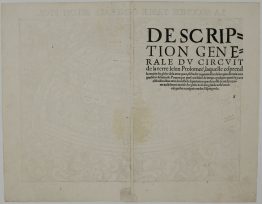
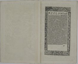
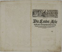
The map comes from Sebastian Münster & Claudius Ptolemy’s “Geographiae Claudii Ptolemaei Alexandrini, Philosophi ac Mathematici praestantissimi, Libri VIII… his accesserunt… tabulae novae… per Sebastianum Munsterum”, published by Henricus Petri in Basel, 1552.
This work was considered one of the most influential cartographic accounts of the ancient world and served as inspiration for all Renaissance mapmakers.
Cartographer: Sebastian Munster (1488 – 1552)
Leaf size: 38,8 x 32,0 cm
Year: 1552
Technique: woodcut
Condition:
Very good, original, condition.
This is an original antique map published in 1552 and NOT a modern copy or reprint
On your request we will provide a Certificate of Authenticity.
In stock