- View cart You cannot add another "1493 - H. Schedel - CXII" to your cart.


1690 – P. Schenk – Magni Ducatus Lithuaniæ
1,600 €
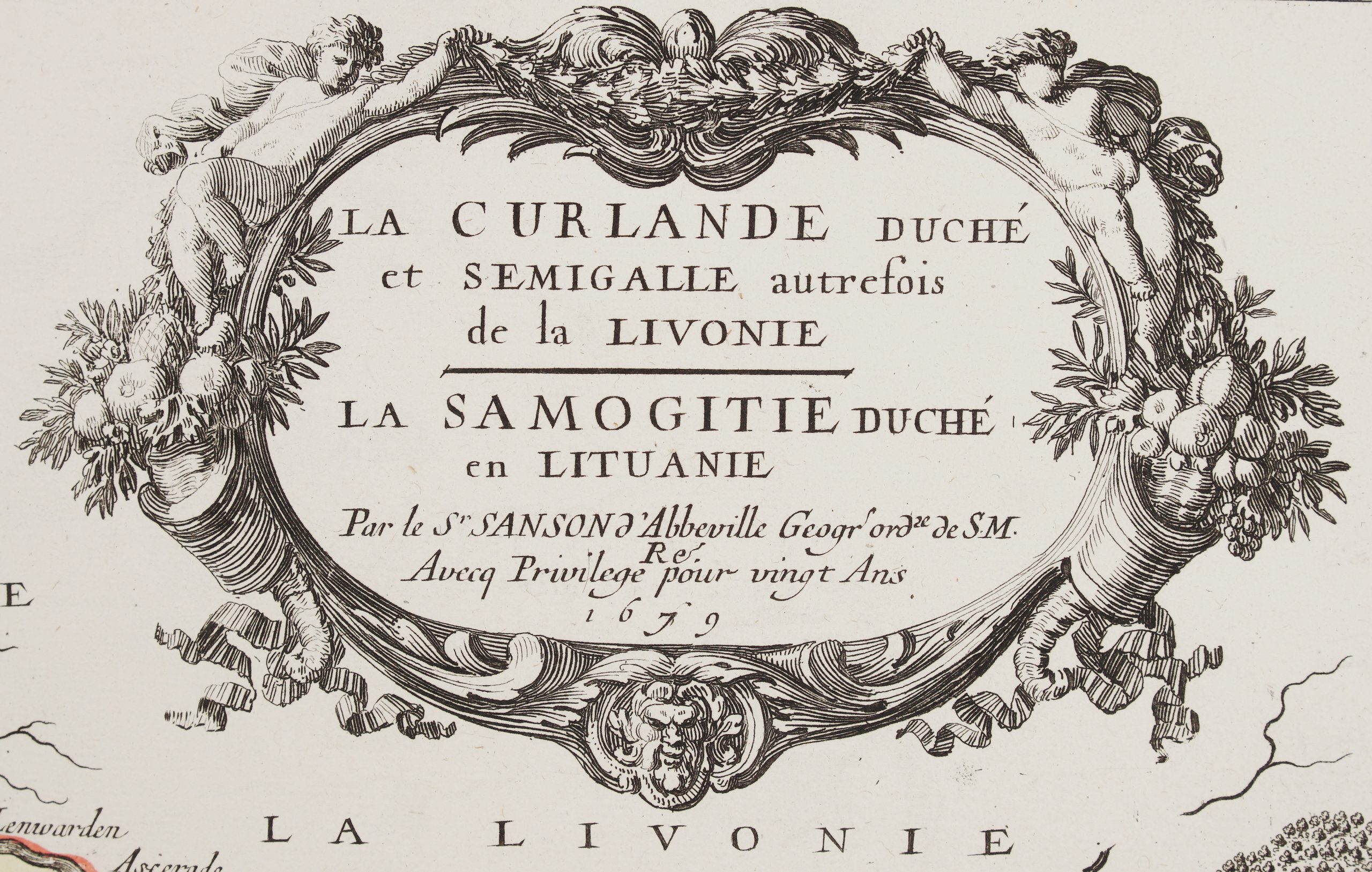
Title: “Magni Dvcatvs Lithvaniæ Cæterarumq Regionum illi adiacentium exacta descrip. Illssmi. ac Excellmi. Principis ac Dni. D. Nicolai Christophori Radziwil D.G.Olycæ ac in Nieswies Ducis S. Rom. Imp. Principis in Szylowiec ac Mir comitis, et S. Sepulchri Hirosolimitani Militis etc. opera et cura in lucem edita”
Description:
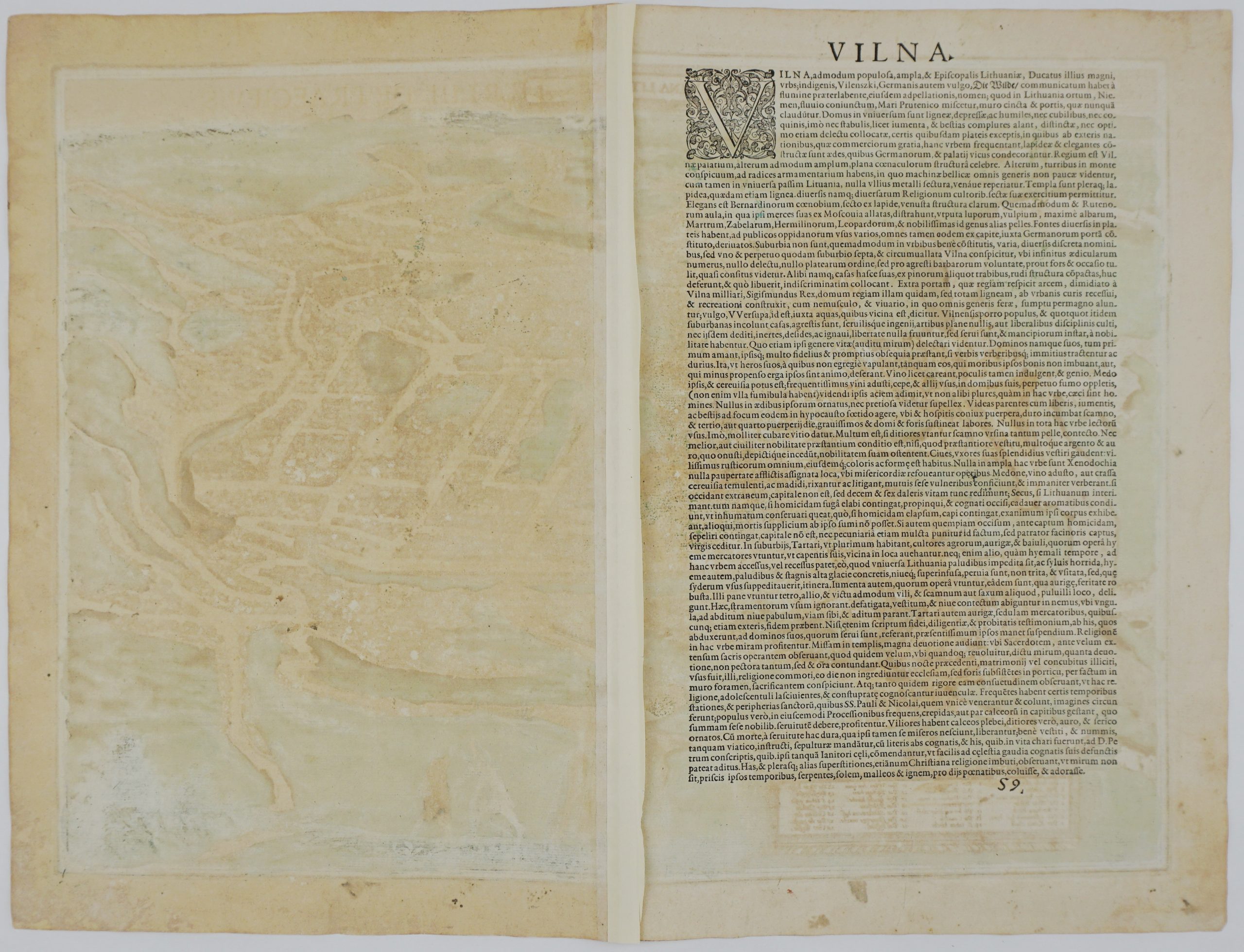
Very rare and highly detailed map of the Grand Duchy of Lithuania, based upon Blaeu’s famous four sheet map, sixth edition. It covers the region from Riga to Smolensk in the north, and from Cracow to Kiev in the south. The map provides a great amount of information and includes several historical notations and two vignettes illustrating important battles in the vicinity of Braclaw (Bratslav), and near Smolensk. It also includes a detailed inset map, in two strips, of the lower part of Dnieper River. It is embellished with a sailing ship, title cartouche and coat of arms.
The map comes from Petrus Schenk and Gerard Valk atlas “Nova totius Geographia…” published in Amsterdam, 1690.
Cartographer: Petrus Schenk (1660 – 1711)
Sheet size: 58,8 x 48,2 cm
Year: 1690
Technique: copper engraving
Condition:
Good condition. Contemporary hand coloring. Few restorations in middle fold.
This is an original antique map published in 1690 and NOT a modern copy or reprint
On your request I will provide a Certificate of Authenticity
In stock