c. 1610 – G. Braun & F. Hogenberg – Riga
350 €
Title: Riga die hauptt Statt in Lifflantt
(Riga, the Capital of Livonia)
Description:
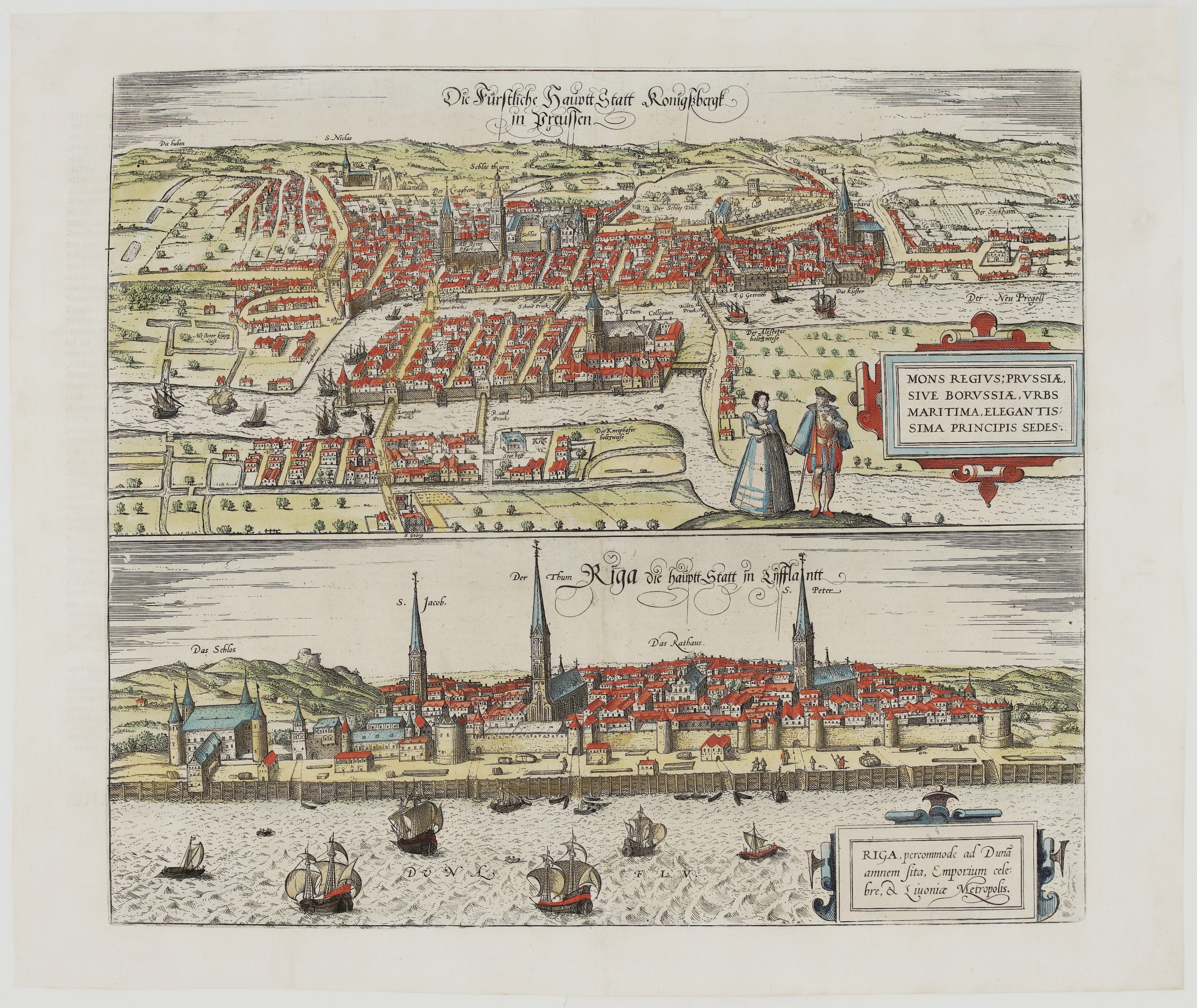
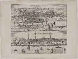
This is a decorative panoramic view of Riga from Georg Braun and Frans Hogenberg’s Civitates Orbis Terrarum. Volume III printed it on the same plate as Königsberg, and this sheet has the Riga half.
The walled Hanseatic city stretches along the Daugava (“Duna Flu.”) behind its wooden quay. Labels name:
- the Castle of the Livonian Order (“Das Schlos”);
- the spires of St James (“S. Jacob”), the Cathedral (“Der Thum”) and St Peter (“S. Peter”);
- the Town Hall (“Das Rathaus”).
Merchant ships, carracks and small boats crowd the river, and figures and goods appear on the quay. The cartouche reads “Riga, percommode ad Dunam amnem sita, Emporium celebre, & Livoniae Metropolis” (Riga, very conveniently situated on the river Daugava, a famous market town and the metropolis of Livonia).
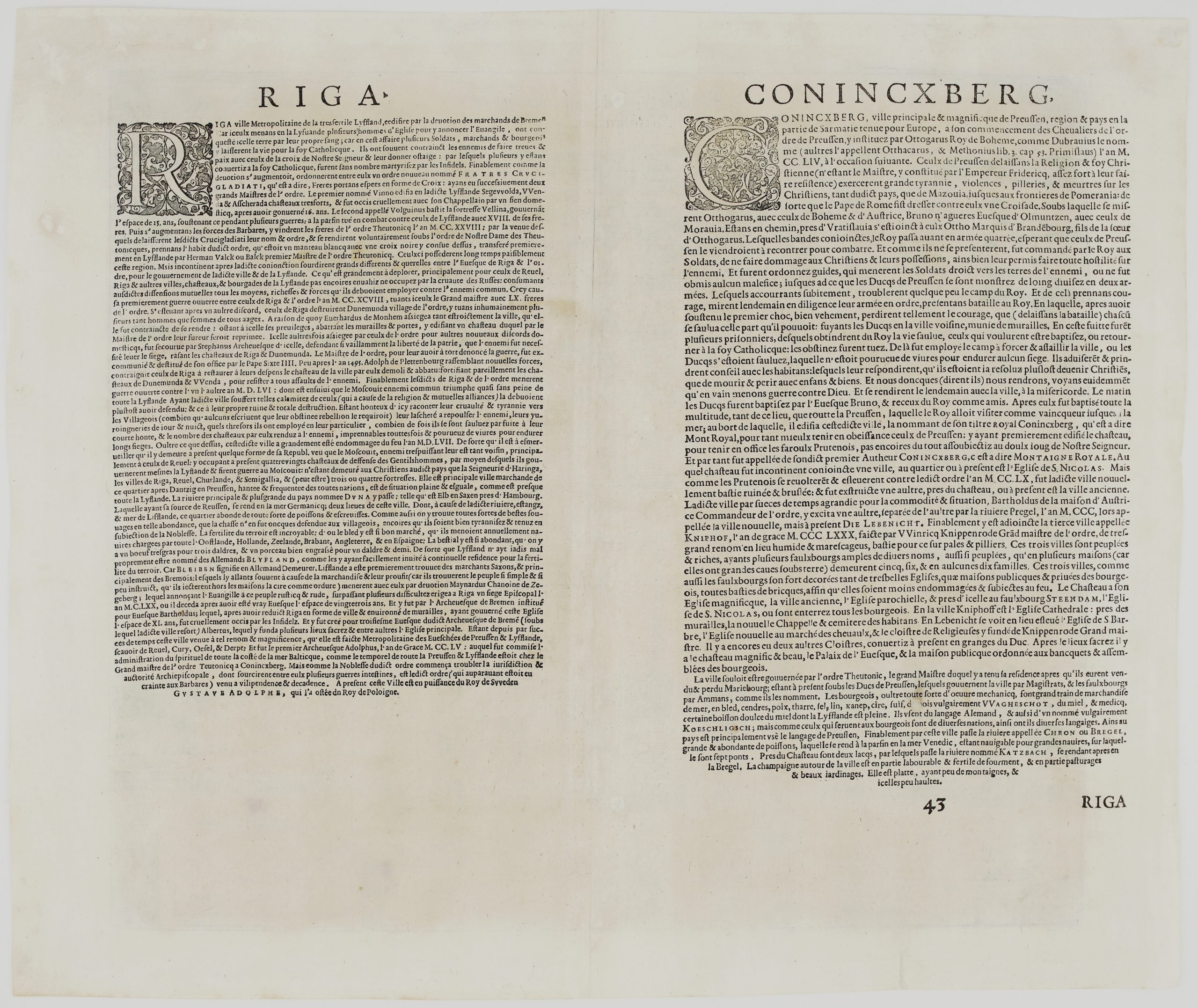
The Latin text on the back, page 43, describes Riga:
- the busiest trading city of the region after Gdańsk;
- the Daugava rising in Russia and flowing into the sea two miles below the city, rich in fish and crayfish;
- grain shipped every year to the Baltic, Holland, Zeeland, Brabant, England and Spain;
- Livonia’s discovery by Bremen merchants, and the bishops Meinhard, Berthold and Albert who founded and built the city;
- Riga becoming an archbishopric in 1255.
View comes from Latin edition atlas “Civitates orbis terrarum…” published by Georg Braun and Franz Hogenberg, engraved by Georg Hoefnagel in Cologne, circa 1581.
Cartographer: Georg Braun (1541 – 1622) & Franz Hogenberg (1535 – 1590)
Publisher: Cologne, Braun & Hogenberg and successors
Atlas: Urbium Praecipuarum Totius Mundi Liber Tertius (Civitates Orbis Terrarum, Vol. III), plate 43, Latin edition
Leaf size: 52,8 x 19,0 cm
Year: c. 1610
Technique: copper engraving
Reference: cf. Van der Krogt 4, 41:1.3; Fauser 11781; Taschen (Braun & Hogenberg) p. 249
Condition:
Good. Attractive hand colouring. The Riga view was cut from the double plate along the lower border of the Königsberg view, so the top margin is narrow, as is usual for this half. It was previously framed, and archival tape and a paper strip along the centre fold remain on the back, with old pencil notes. There is light toning and minor show-through of the colour.
This is an original antique map published circa 1610 and NOT a modern copy or reprint
On your request I will provide a Certificate of Authenticity
In stock