1578-1588 – S. Munster – Aegyptus
200 €
Title: Aegyptus
(Egypt)
Description:
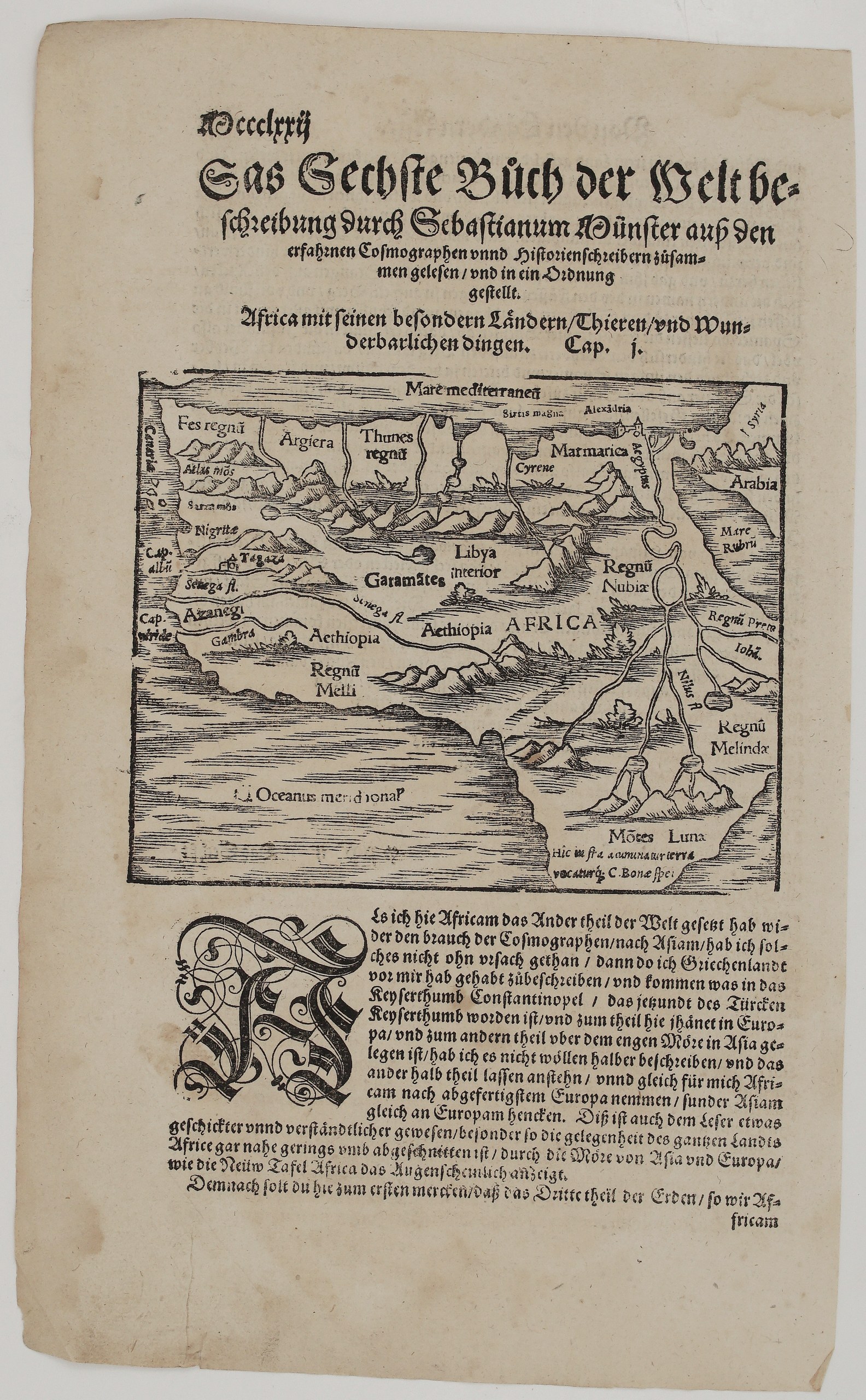
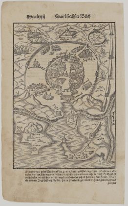
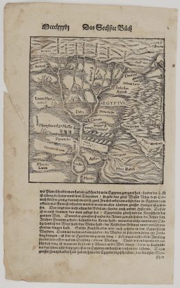
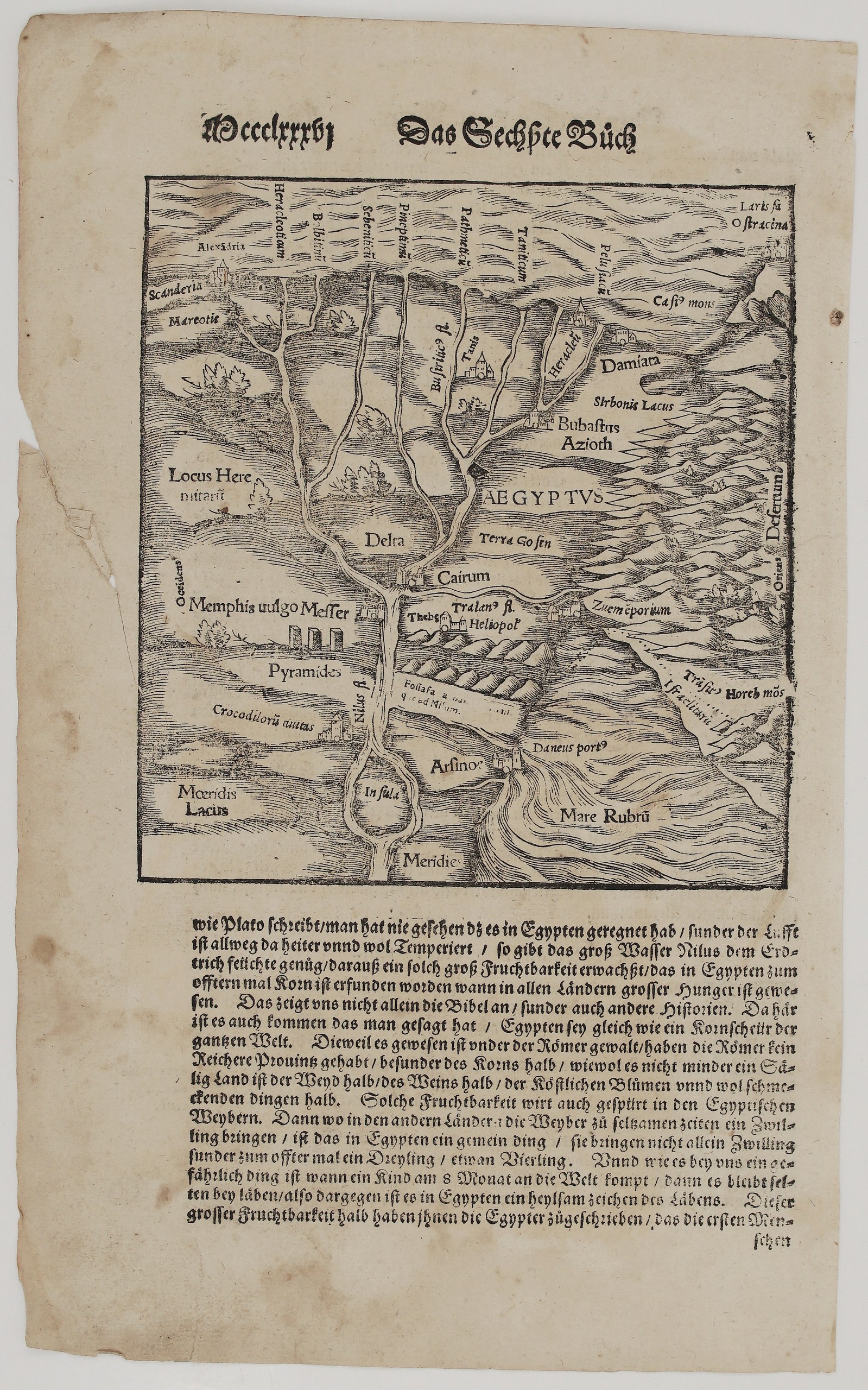
This woodcut map of Lower Egypt comes from Sebastian Münster’s Cosmographey. It is drawn as a bird’s-eye view with the Mediterranean at the top, “Meridie” (south) at the bottom, “Occidens” on the left and “Oriens” on the right. Unknown issue of Sebastian Münster’s Cosmographey.
The Nile flows up the sheet from an island (“Insula”) and fans out through the Delta into seven named mouths, from the Heracleotic to the Pelusiac. Along its course are:
- Cairo (“Cairum”), Heliopolis and the “Terra Gosen” of the Bible;
- “Memphis vulgo Messer” with the Pyramids and the “Crocodilorum urbs”;
- Lake Moeris, and Arsinoe on a canal leading to the Red Sea (“Mare Rubrum”).
Other names include Alexandria (“Scanderia”) and Lake Mareotis, Damietta, Tanis and Bubastis. To the east lie Lake Sirbonis, Mount Casius and Mount Horeb (Sinai) in the desert.
The German text below the map praises Egypt’s fertility:
- It never rains there, “as Plato writes”, because the Nile floods the land.
- Egypt was the granary of the world and Rome’s richest province.
- Egyptian women commonly bear twins, triplets and even quadruplets.
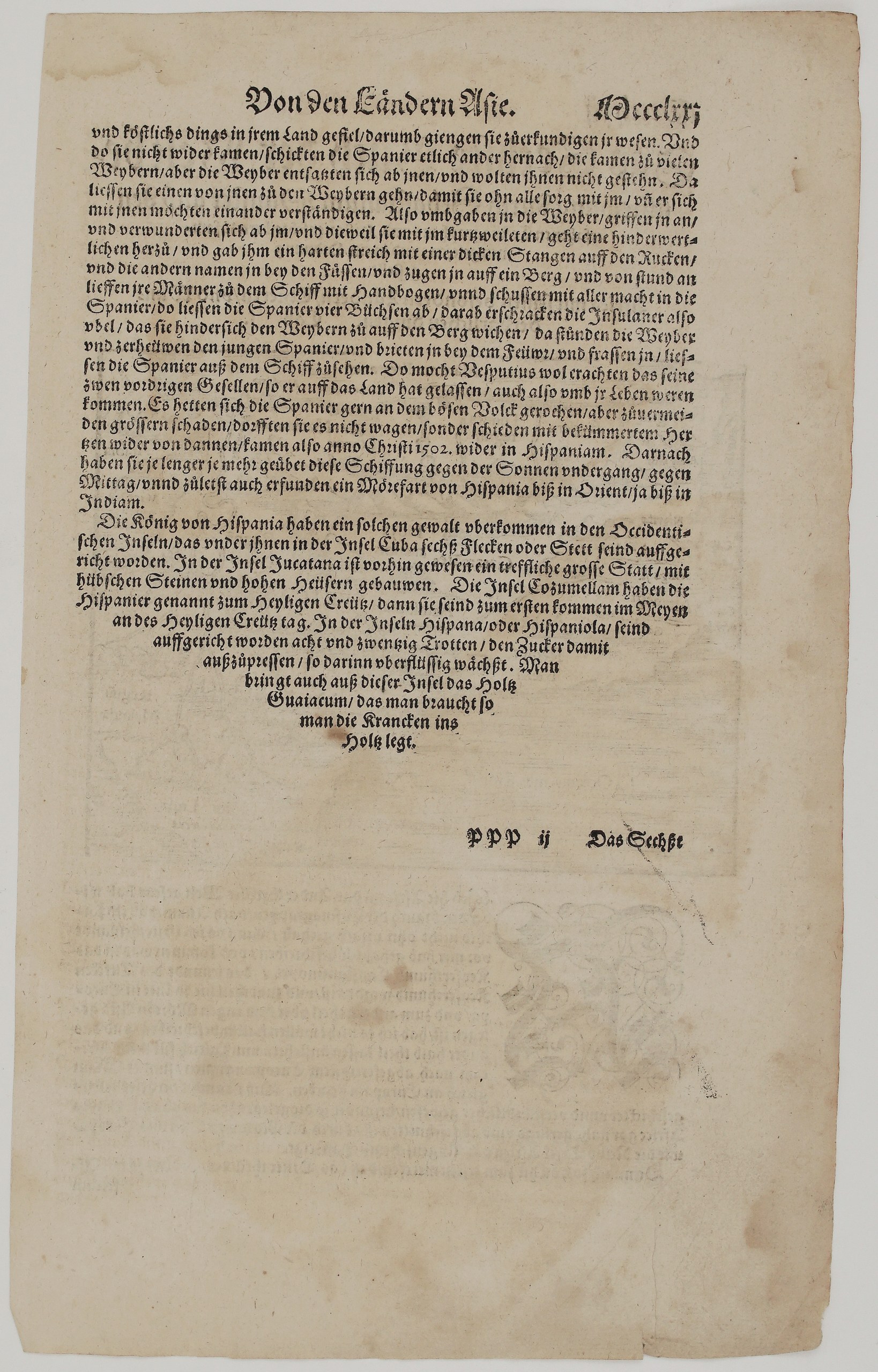
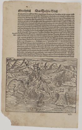
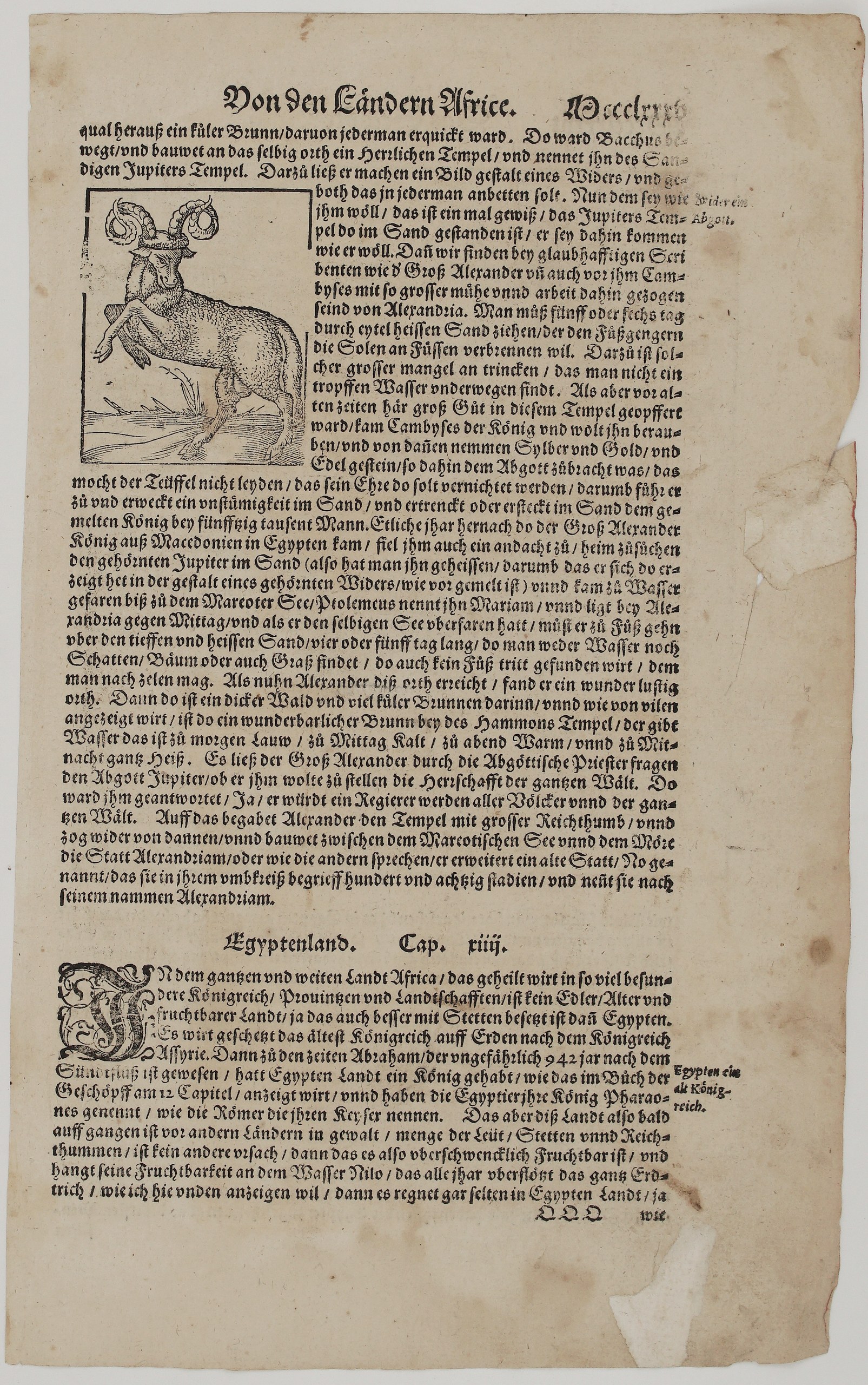
The other side has a woodcut of a ram illustrating the oracle of Jupiter Ammon in the Libyan desert. The text tells how the army of Cambyses was buried in the sand and how Alexander the Great visited the oracle and founded Alexandria. It also begins the chapter “Egyptenland. Cap. xiiij.”, which calls Egypt the oldest kingdom after Assyria.
Cartographer: Sebastian Munster (1488 – 1552)
Publisher: Henricpetri press, Basel
Leaf size: 33,3 x 20,5 cm
Year: 1578 – 1588
Technique: Woodcut, with letterpress text
Condition:
Good. Strong impression. The paper is toned, with light soiling and spotting. A marginal tear with small loss on the left edge stays clear of the woodcut and text. There are small edge chips and some show-through of the text.
This is a genuine antique map published between 1578 – 1588 and not a modern copy or reprint
On your request I will provide a Certificate of Authenticity
In stock