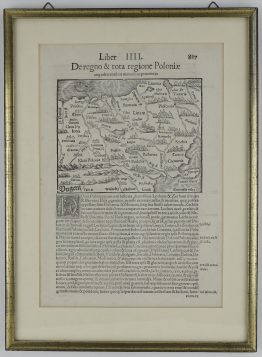
1628 – S. Munster – Landtafel Polands Littaw
350 €
Title: “Landtafel des Ungerlands / Polands / Reussen / Littaw / Walachey und Bulgarey”
Description:
Very decorative and detailed woodcut map of the Kingdom of Poland (Polonja) and the Grand Duchy of Lithuania (Littaw). It stretches across Central and Eastern Europe to cover Hungary (Ungerland), Russia/Moscovy (Reussen / Moscovia), Wallachia (Walachey), Moldova, and parts of Bulgaria. Features illustrative topographies, including dense forests (Migne Silva), major river basins like the Danube and Dnieper, and coastal areas along the Black Sea (Pontus Euxinus).
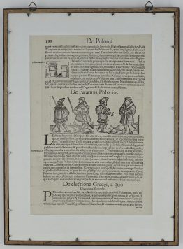
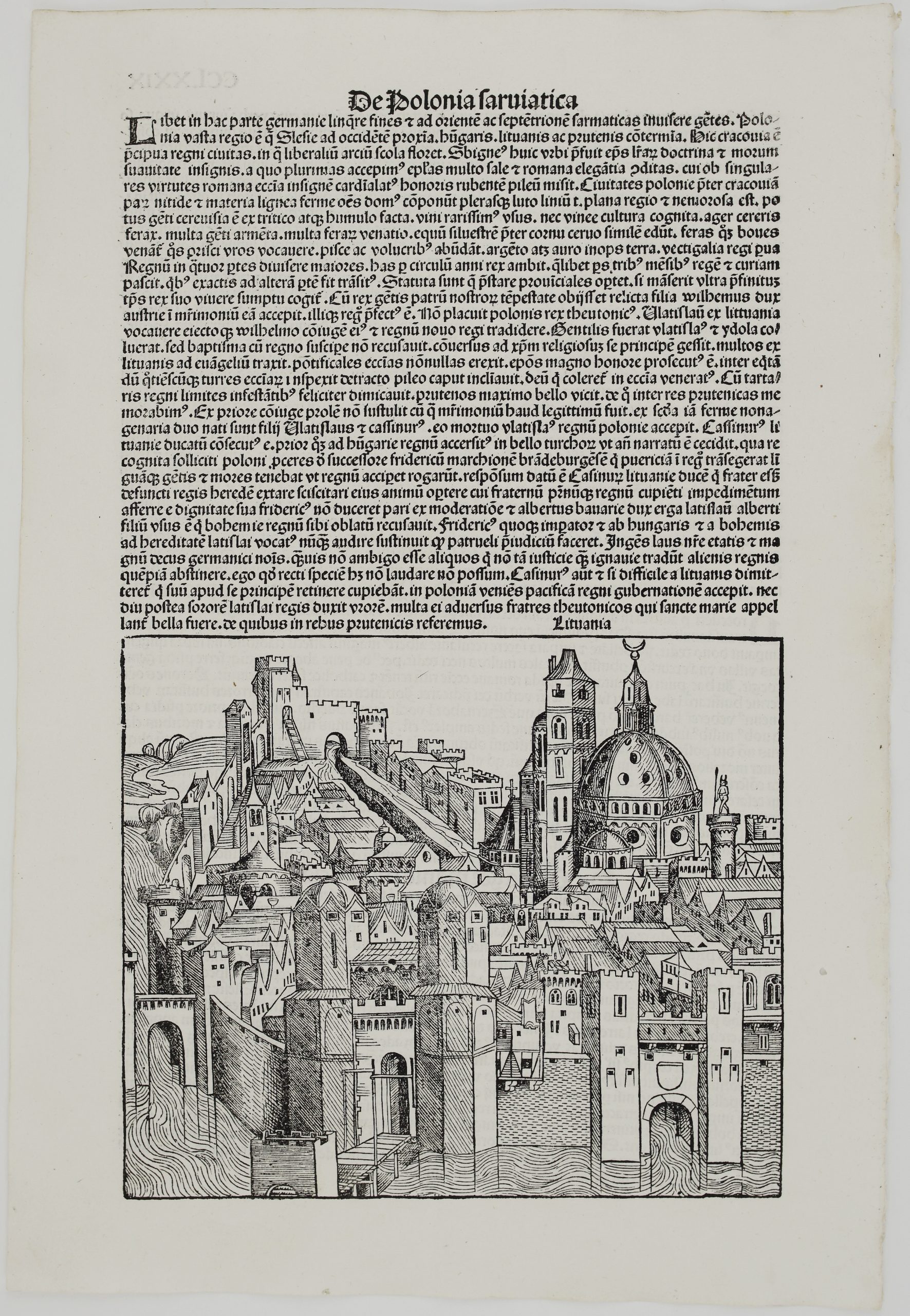
The map comes from the German edition of Sebastian Münster’s Cosmography, titled “Cosmographey: das ist, Beschreibung aller Länder, Herrschafften, vnd fürnemesten Stetten, des gantzen Erdbodens : sampt jhren Gelegenheiten, Eygenschafften, Religion, Gebräuchen, Geschichten vnd Handtierungen, etc.”, published in 1628 by Heinrich Petri in Basel.
Cartographer: Sebastian Munster (1488 – 1552)
Leaf size: 41,8 x 33,9 cm
Year: 1628
Technique: woodcut
Condition:
Good, original condition.
This is an original antique map published in 1628 and NOT a modern copy or reprint
On your request we will provide a Certificate of Authenticity.
In stock