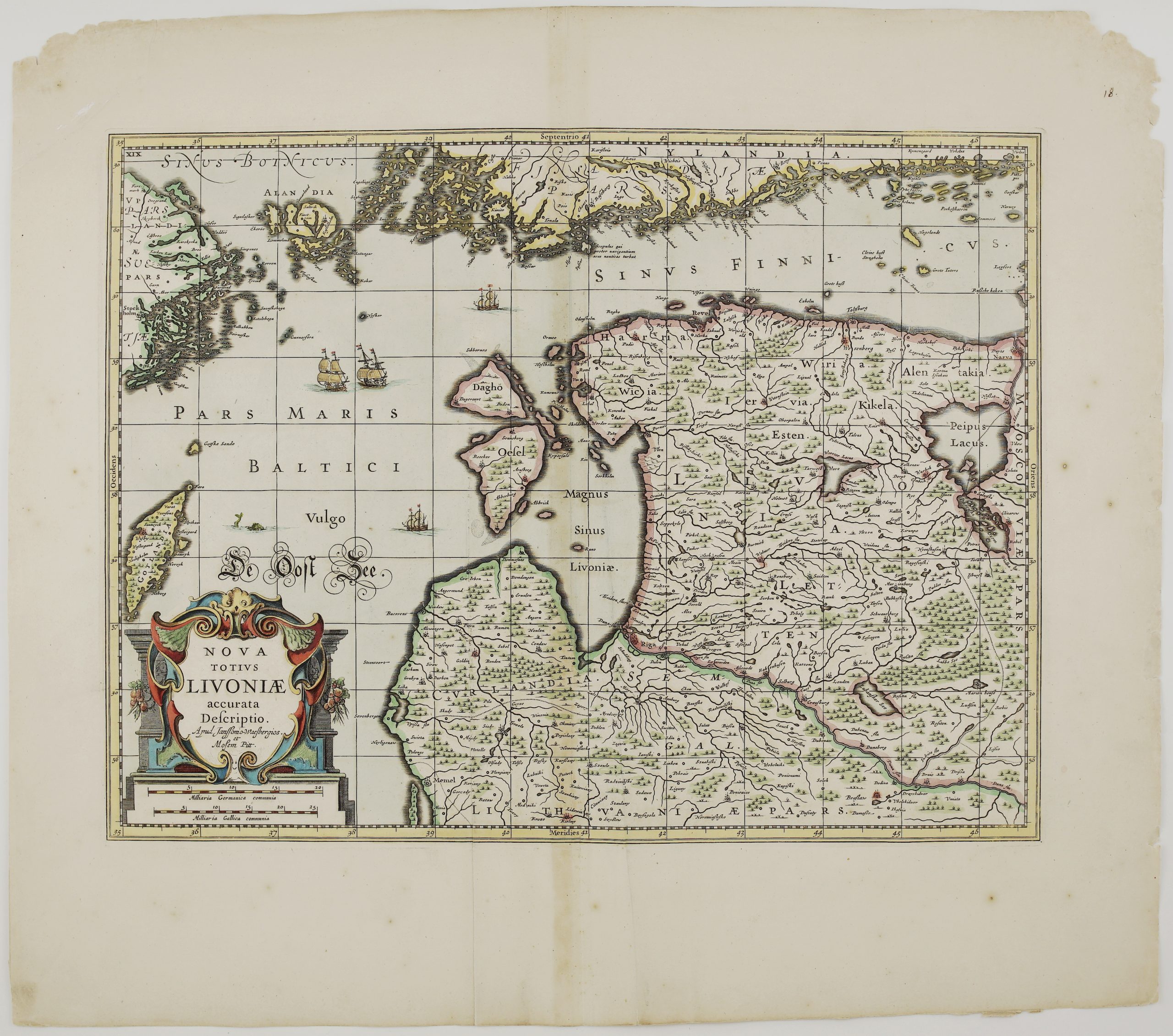
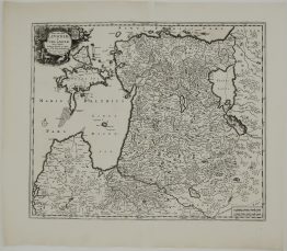
1680 – F. de Wit – Ducatuum Livoniae et Curlandiae
550 €
Title: “Ducatuum Livoniae, et Curlandiae, Nova Tabula, descripta, Divisa, et edita per F. de Witt Amstelodami Cum Privil. Potent. D Ordin Belgii Faederati”
Description:
Rare and highly decorative map of Livonia and Courland — today’s Estonia and Latvia — engraved by the celebrated Amsterdam cartographer Frederick de Wit. The map ranges from the Gulf of Finland (Sinus Finnici Pars) and Ingria in the north to the borders of Lithuania and Samogitia in the south, and from the Baltic islands of Oesel (Saaremaa) and Dago (Hiiumaa) in the west across to Lake Peipus, Pskov (Plescow) and the Muscovite frontier in the east.
The large title cartouche in the upper left corner is upheld by putti and crowned with two coats of arms — one the silver griffin of Livonia on a red field — while further winged cherubs bear garlands, and a trumpet-blowing putto crowns the scene. A second, smaller cartouche with a German-mile distance scale sits in the lower right of the sheet.
Comes from by Frederick de Wit “Atlas Maior” published in Amsterdam, 1680.
Cartographer: Frederick de Wit (1630 – 1706)
Sheet size: 61,2 x 51,5 cm
Year: 1680
Technique: copper engraving
Condition:
Good condition. Contemporary hand coloring.
This is an original antique map published in 1680 and not a modern copy or reprint
On your request I will provide a Certificate of Authenticity
In stock