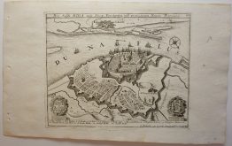
1710 – J. B. Homann – Regnum Borussiae Gloriosis
300 €
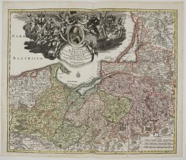
Title: “Regnum Borussiae Gloriosis …Friederici III…”
Description:
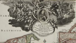
Gorgeous map of the Prussia, the Baltic region, extends from Memel ( Klaipeda ) to Pomerania, extending south to Poland. Centered on Dantzig and Konigsberg. The title scroll features a portrait of Frederick III, king of the Prussian dynasty, surrounded by an elaborate allegorical scene of his coronation in 1701.
Comes from Johann Baptist Homann atlas “Grosser Atlas über die ganze Welt…” published in Nürnberg, 1710.
Cartographer: Johann Baptist Homann (1664-1724)
Leaf size: 53,4 x 62,8 cm
Year: 1710
Technique: copper engraving
Condition:
Good condition. Original hand coloring. Watermarked paper. A few marginal restorations present.
This is an original antique map published in 1710 and not a modern copy or reprint
On your request I will provide a Certificate of Authenticity
In stock