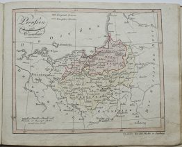
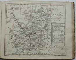
1756 – Le Rouge – La Pologne
150 €
Title: “La Pologne”
Description:
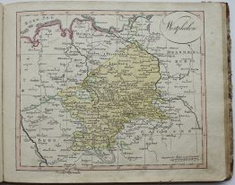
Rare original hand colored map of Lithuania, Latvia, Poland, Prussia and Belarus countries from atlas “Introduction a la Geographie” issued by Le Rouge.
Cartographer: Georges-Louis Le Rouge (17121 – 1790)
Sheet size: 24,5 x 34,5 cm
Year: 1756
Technique: copper engraving
Condition:
Good condition. Strong print and paper, original colors, wide margins.
This is a genuine antique map published in 1756 and NOT a modern copy or reprint
On your request I will provide a Certificate of Authenticity
In stock