1775 – F. L. Güssefeld – Borussiae Orientalem
150 €
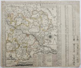
Title: “Tabula Regni Borussiae Orientalem exhibens MDCCLXXV”
Description:
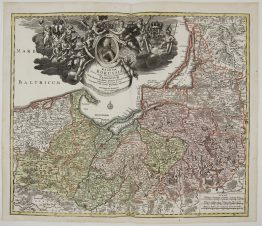
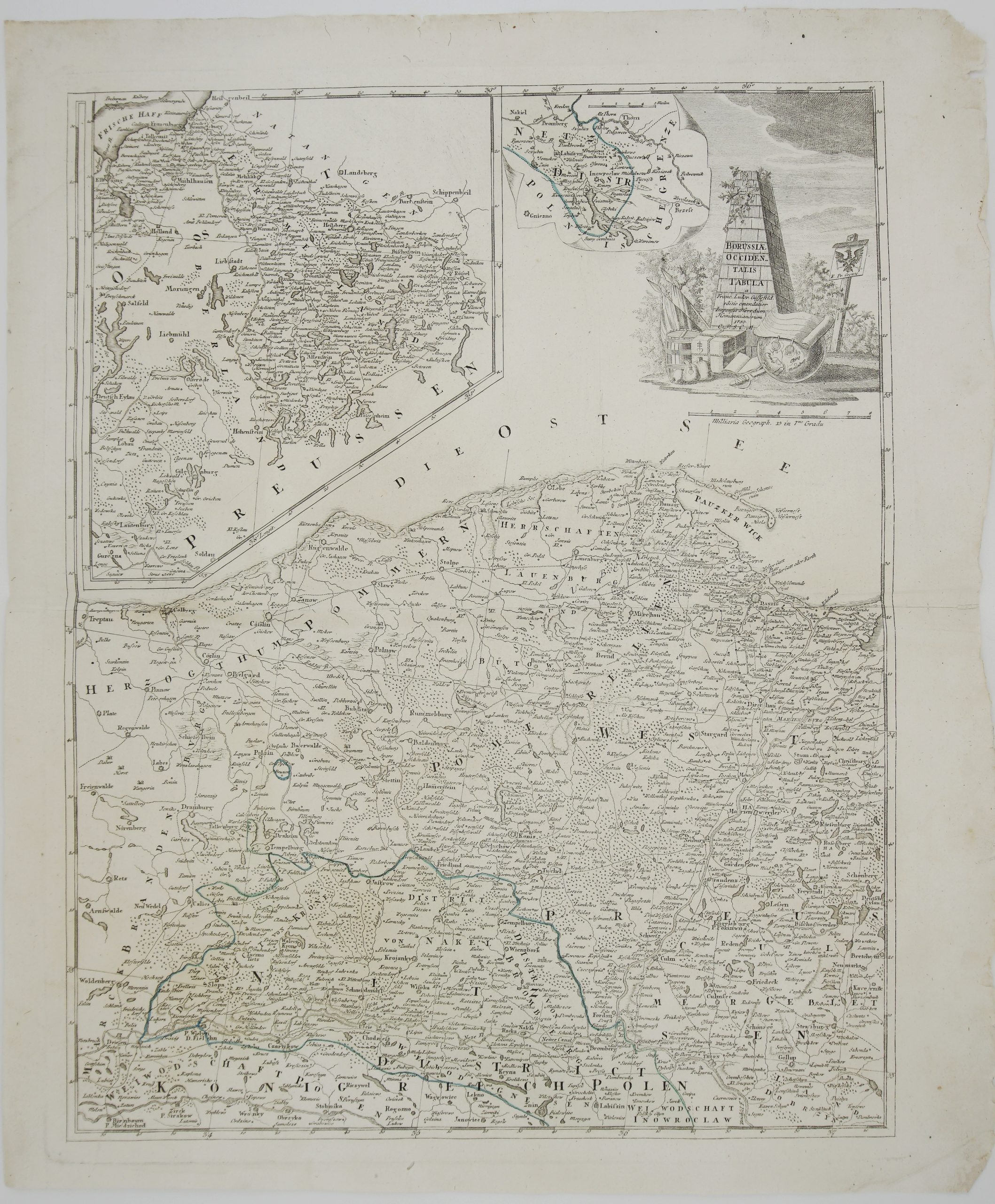
Very detailed map of East Prussia (Ostpreußen), covering the region from the Baltic coast and the Curonian Lagoon (Curische Haff) in the north down to the Polish border (“Polnische Grenze”) in the south, and bordered to the east by Lithuania (“Littauische Grenze”). The map richly details the historic districts of Samland, Natangen, Memel, Bartenland, and Oberland, with hundreds of towns, villages, forests, and lakes named throughout, including Königsberg’s surrounding territory, the Frisches Haff, and the Spirding See.
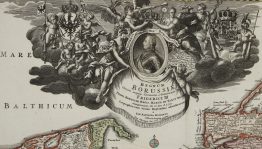
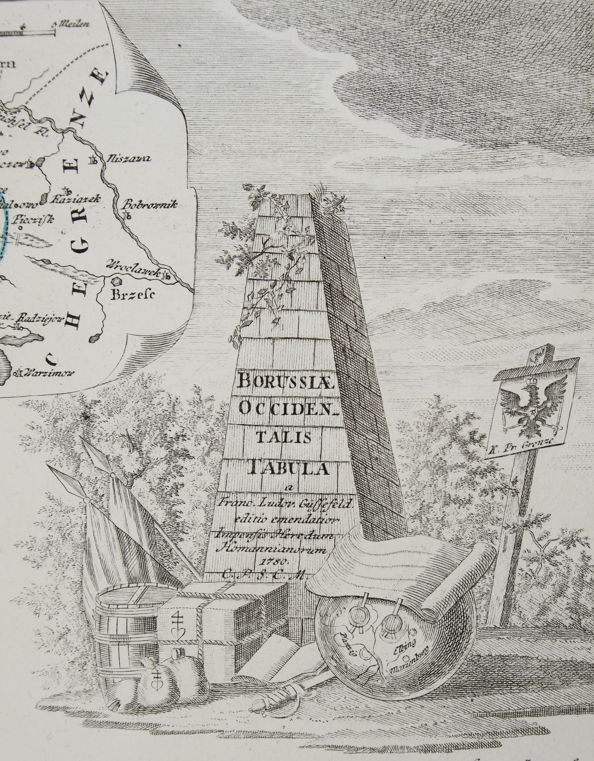
An inset map in the upper left corner, titled “Westpreussische Grenze,” details the adjoining West Prussian border region in finer scale. The upper right corner features an elegant title cartouche in the form of a classical stone pedestal set among trees, with an open book, laurel branch, and quill resting at its base.
The map was designed by Franz Ludwig Güssefeld and published by the Nuremberg’s publishing house Homann Erben in 1775.
Cartographer: Franz Ludwig Güssefeld (1744-1807)
Sheet size: 63,8 x 54,9 cm
Year: 1775
Technique: copper engraving
Condition:
Good condition. Brownish watermarked paper.
This is an original antique map published in 1775 and NOT a modern copy or reprint
On your request I will provide a Certificate of Authenticity
In stock