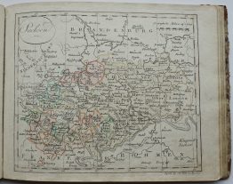
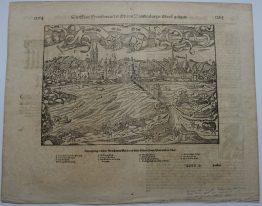
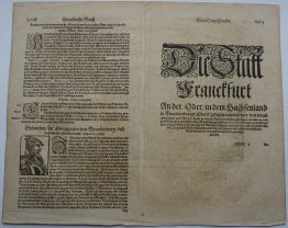
1818 – G. R. Vaugondy – Rhin Franconie
30 €
Title: “Haut et Bas Rhin Franconie Souabe…”
Description:
Attractive antique copper engraved map of Rhineland, Franconia and Swabia, Germany by Robert de Vaugondy from the atlas “Nouvel Atlas Portatif…“, engraved by E. Passy, published by Charles François Delamarche in Paris.
Cartographer: Gilles Robert de Vaugondy (1688-1766)
Sheet size: 46 x 31,8 cm
Year: 1818
Technique: copper engraving
Condition:
Good, original condition. Contemporary outline coloring.
This is an original antique map published in 1818 and NOT a modern copy or reprint
On your request I will provide a Certificate of Authenticity
In stock