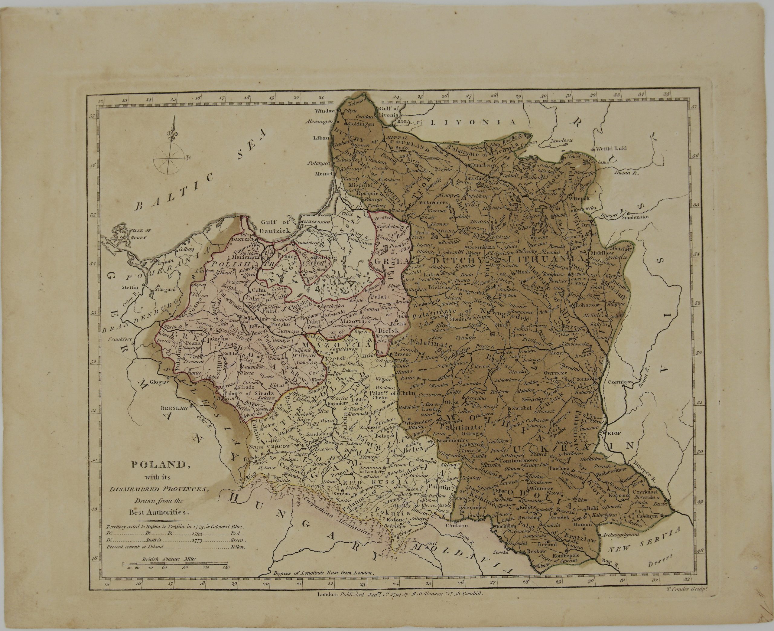
1794 – R. Wilkinson – Poland
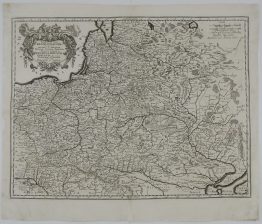
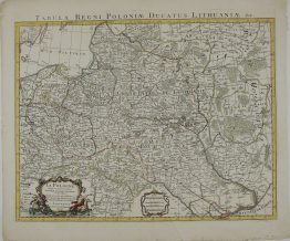
Title: “Poland, with its Dismembered Provinces, Drawn from the Best Authorities,”
Description:
Attractive small map of Poland, Lithuania and Prussia.
Comes from the atlas published by Robert Wilkinson ‘A General Atlas being A Collection of Maps of the World and Quarters the Principal Empires, Kingdoms &c. with their sevaral provinces & other Subdivisions, Correctly Delineated.’ engraved by Thomas Conder, London 1794.
Cartographer: Robert Wilkinson (1758 – 1825)
Sheet size: 33,0 x 26,6 cm
Year: 1794
Technique: etching
Condition:
Good condition, brownish paper, original colouring, original watermark.
This is an original antique map published in 1794 and not a modern copy or reprint
On your request I will provide a Certificate of Authenticity