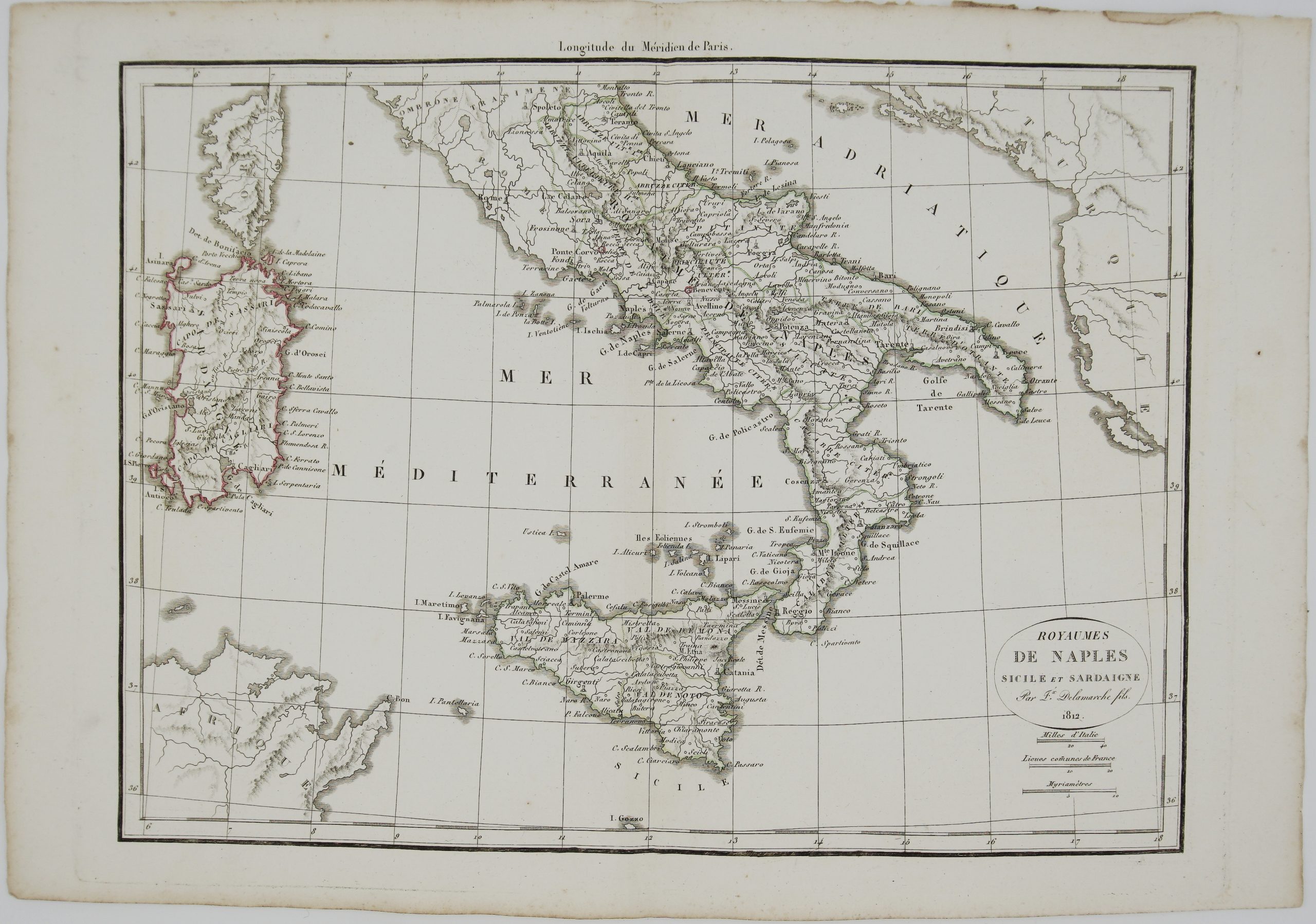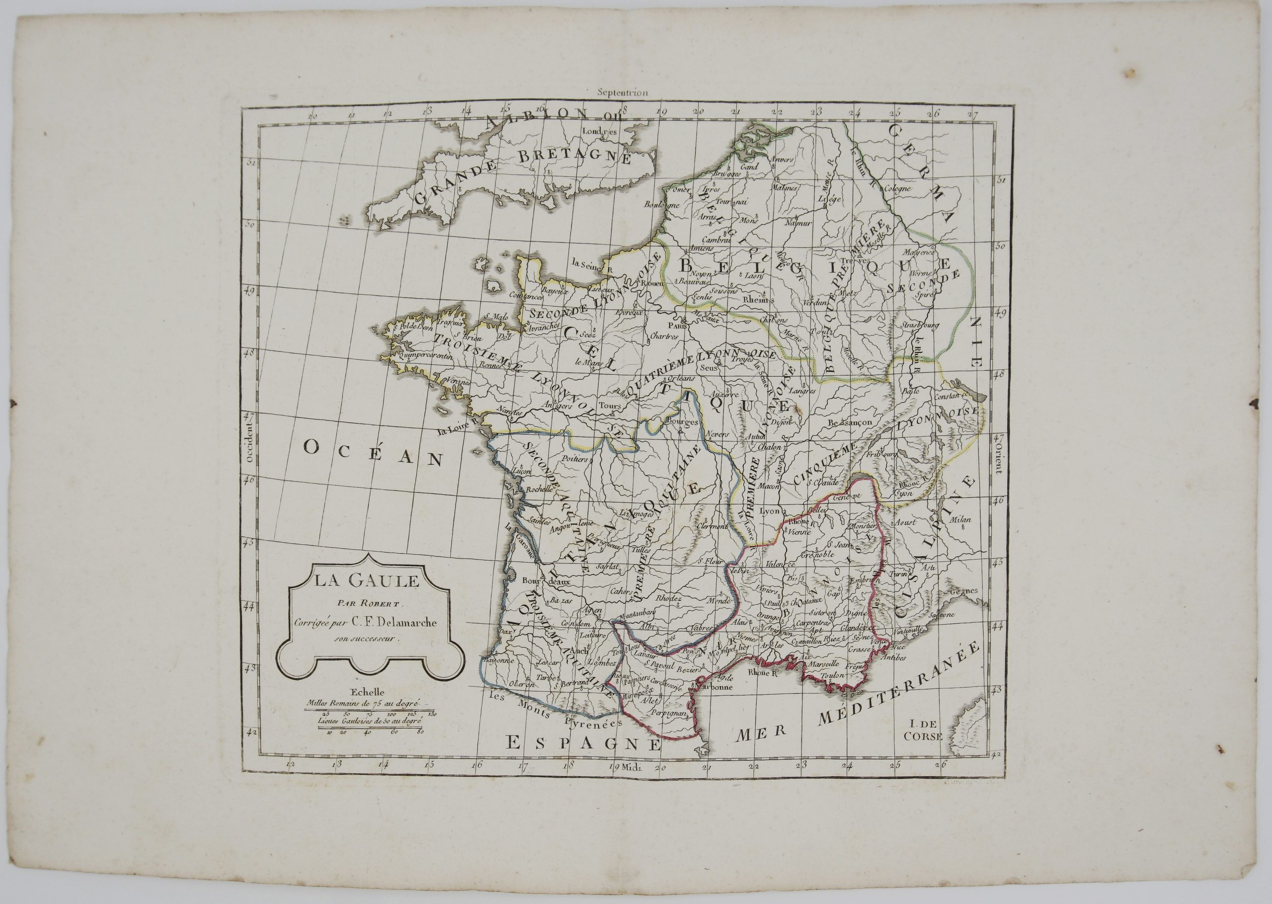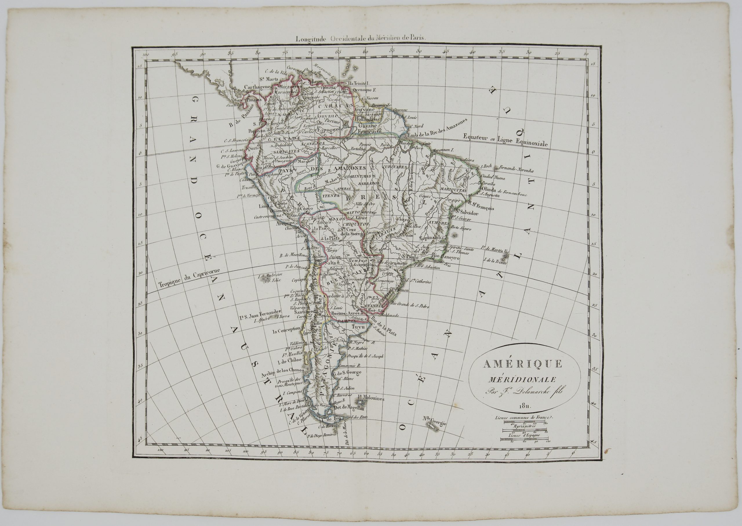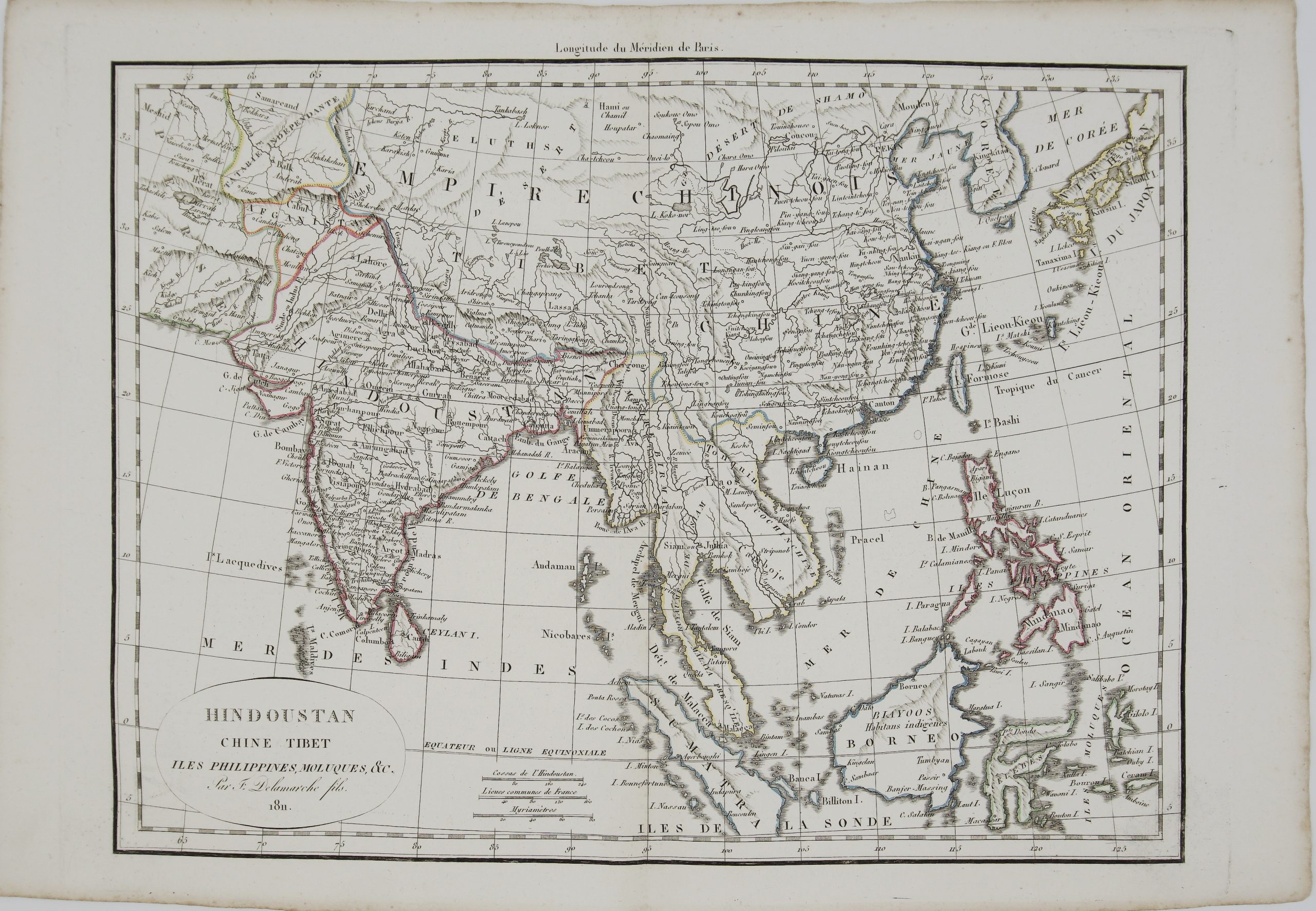
1818 – G. R. Vaugondy – d’Allemagne
30 €
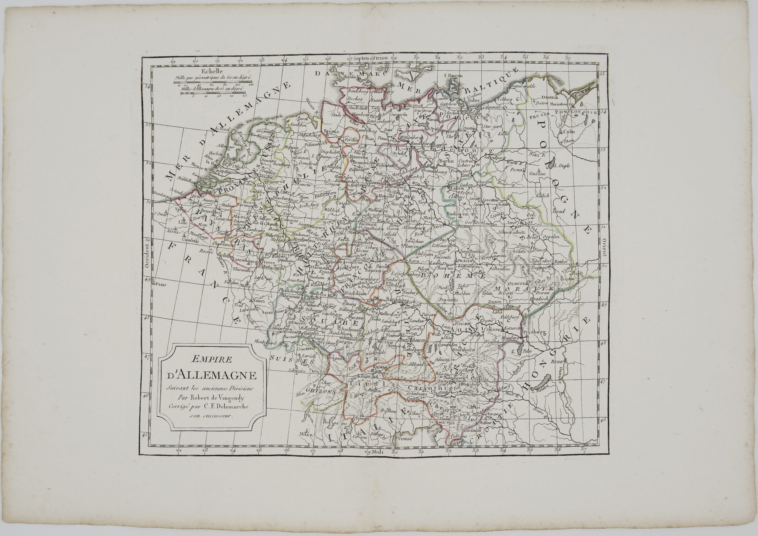
Title: “Empire d’Allemagne Suivant les anciennes Divisions par Robert de Vaugondy. Corrigée par C. F. Delamarche…”
Description:
Attractive antique copper engraved map of Germany by Robert de Vaugondy from the atlas “Nouvel Atlas Portatif…“, engraved by E. Passy, published by Charles François Delamarche in Paris.
Cartographer: Gilles Robert de Vaugondy (1688-1766)
Sheet size: 46 x 31,8 cm
Year: 1818
Technique: copper engraving
Condition:
Good, original condition. Contemporary outline coloring.
This is an original antique map published in 1818 and NOT a modern copy or reprint
On your request I will provide a Certificate of Authenticity
In stock