1748 – Homann Heirs – Carte des Indes Orientales
700 €
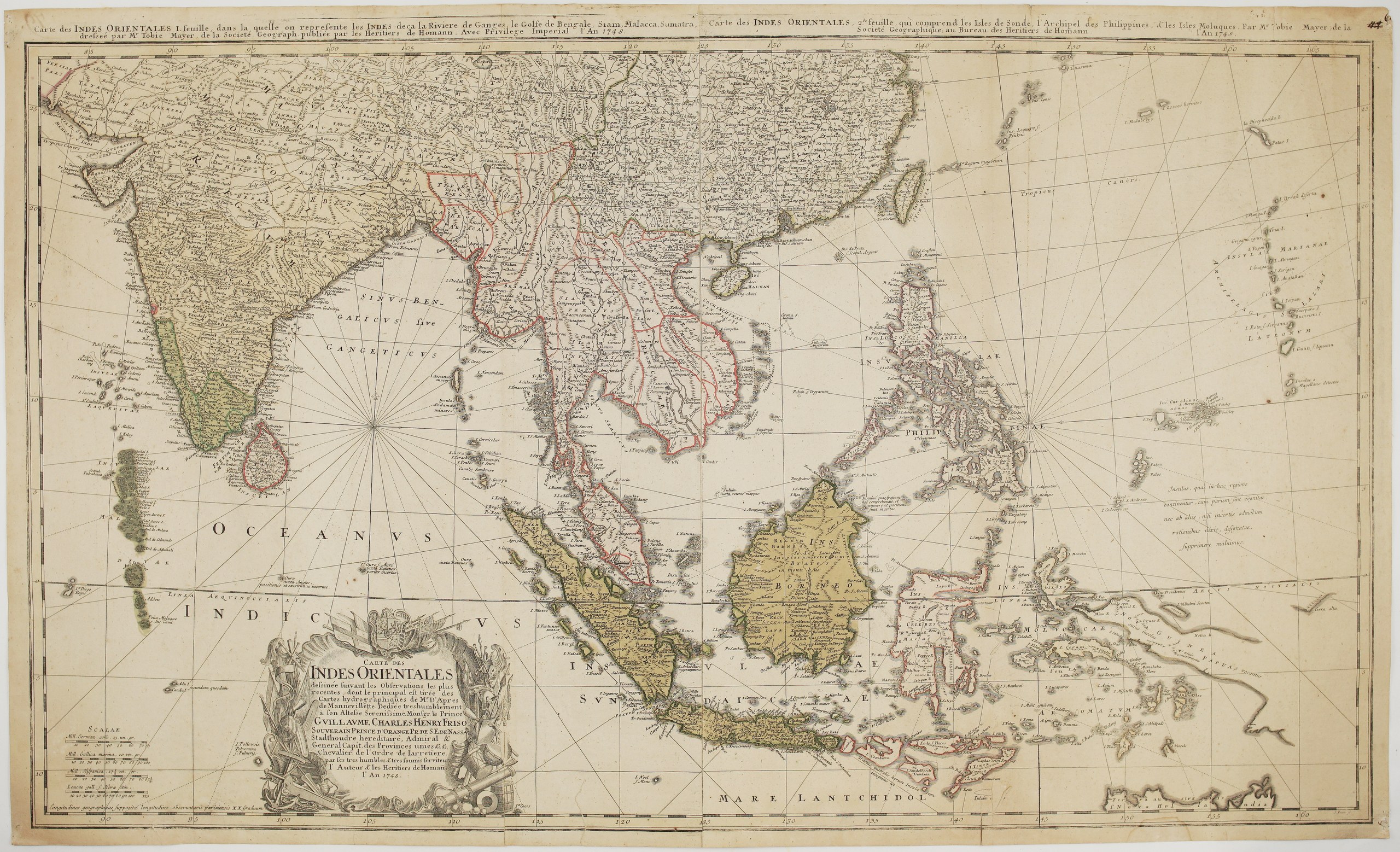
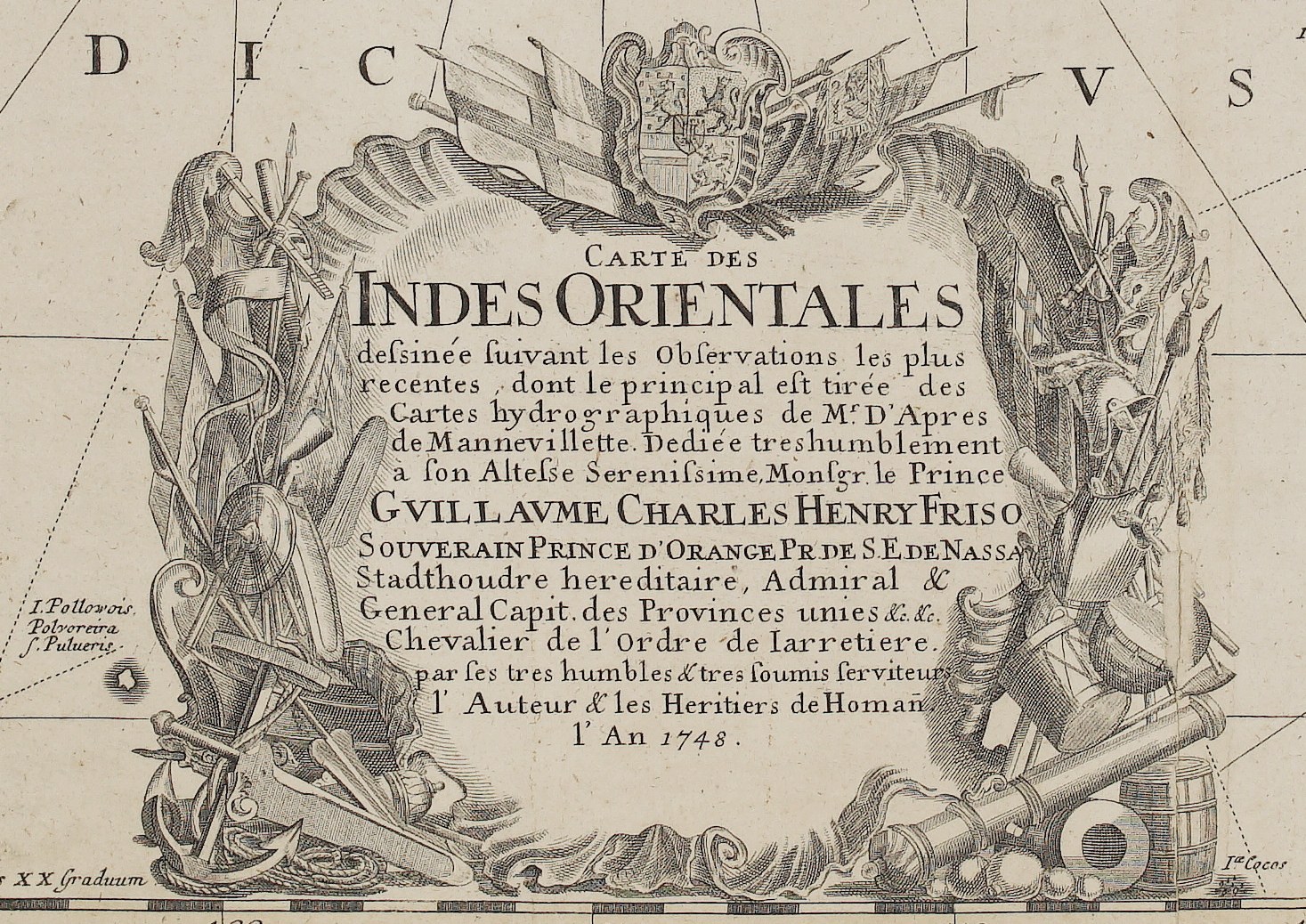
Title: “Carte des Indes Orientales dessinée suivant les Observations les plus recentes, dont le principal est tirée des Cartes hydrographiques de Mr. D’Apres de Mannevillette”
(Map of the East Indies, drawn from the most recent observations, chiefly from the hydrographic charts of Mr. d’Après de Mannevillette)
Description:
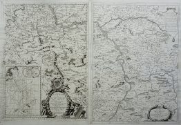
This large and decorative map of South and Southeast Asia was published in Nuremberg in 1748 by the Homann Heirs. It was drawn by Tobias Mayer (1723–1762), the gifted cartographer of the Homann firm who later became a famous astronomer at Göttingen. Its main source was the hydrographic charts of Jean-Baptiste d’Après de Mannevillette, whose Neptune Oriental of 1745 was the first great sea atlas of the Indian Ocean.
The map is printed from two plates joined as issued, each with its own engraved title along the top:
- Sheet 1 (the Indies west of the Ganges, the Bay of Bengal, Siam, Malacca and Sumatra): India from Delhi to Cape Comorin, Ceylon, the Laccadive and Maldive Islands, Bengal, Pegu and Ava (Burma), Siam, Cambodia and the Malay Peninsula.
- Sheet 2 (the Sunda Islands, the Philippines and the Moluccas): southern China with Hainan and Formosa, the Philippines, the Ladrones (Marianas), Borneo, Java, Celebes, Timor, the Moluccas and western New Guinea, down to the “Mare Lantchidol” and a glimpse of the northern coast of New Holland.
The map is crossed by rhumb lines from compass points. A Latin note explains that little-known islands to the east were left out rather than shown on uncertain reports.
The large baroque cartouche at lower left is decorated with flags, cannons, anchors, drums and arms, under the arms of the House of Orange-Nassau. It carries a dedication to Prince William IV of Orange (“Guillaume Charles Henry Friso”), Hereditary Stadtholder and Captain-General of the United Provinces, from “the Author and the Homann Heirs”.
Cartographer/Artist: Tobias Mayer (1723–1762), after J.-B. d’Après de Mannevillette
Publisher: Homann Heirs, Nuremberg
Sheet size: 89,0 x 53,6 cm
Year: 1748
Technique: copper engraving
Reference: cf. Leiden University Library, COLLBN Port 175 N 19
Condition:
Good. Contemporary colour, with the two sheets joined as issued along the central join. The paper is toned, with light soiling and scattered spotting. The edges are slightly worn and chipped, and there are small marginal tears. The top margin is narrow above the engraved titles. An old number is written in ink at the upper right corner. Watermarked paper.
This is an original antique map published in 1748 and NOT a modern copy or reprint
On your request I will provide a Certificate of Authenticity
In stock