- You cannot add that amount to the cart — we have 1 in stock and you already have 1 in your cart. View cart
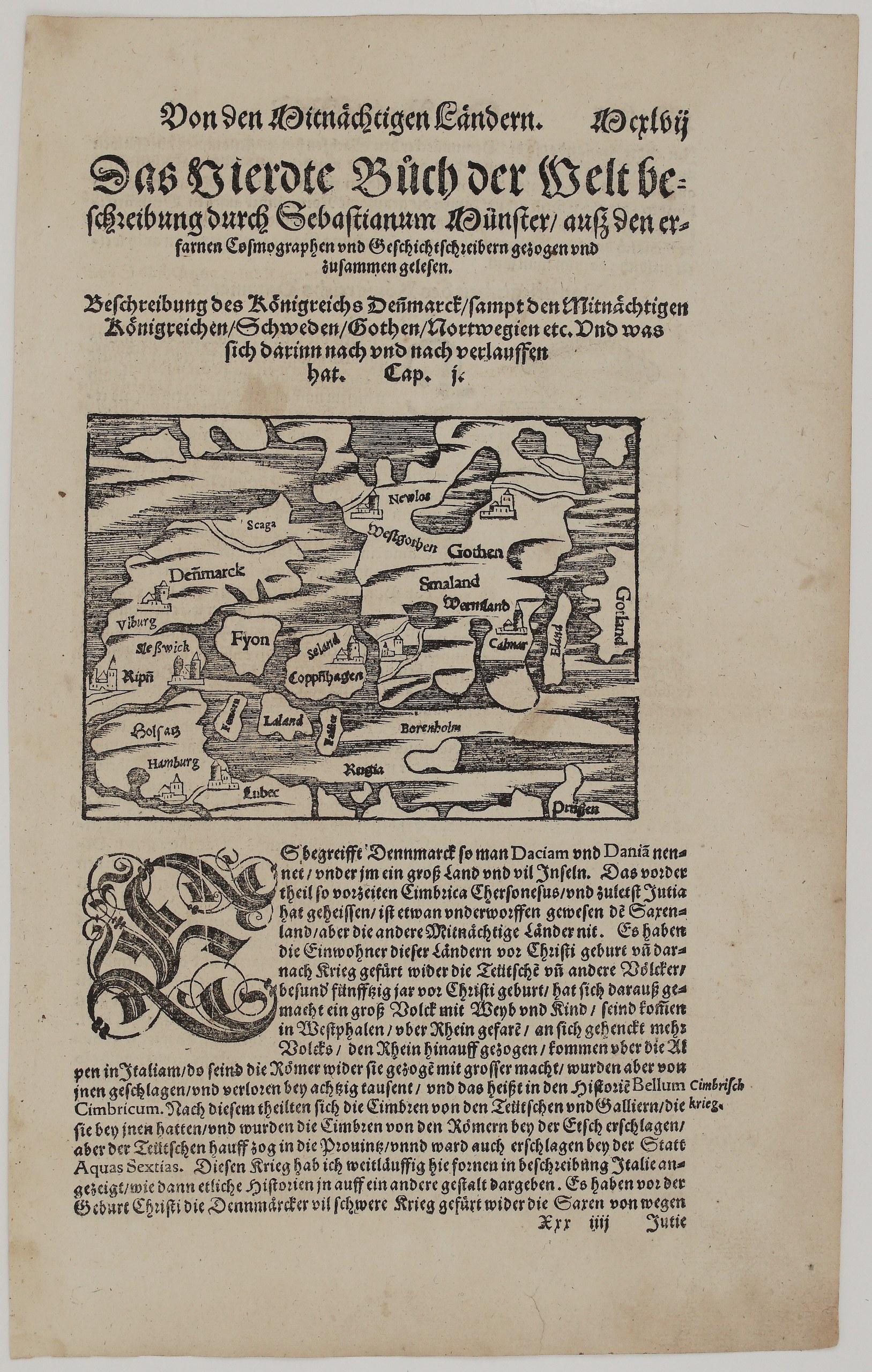
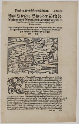
1578-1588 – S. Munster – Königreichs Dennmarck
150 €
Title: Beschreibung des Königreichs Dennmarck, sampt den Mitnächtigen Königreichen, Schweden, Gothen, Nortwegien etc.
(Description of the Kingdom of Denmark, with the Northern Kingdoms of Sweden, Gothia, Norway etc.)
Description:
This leaf opens Book IV of Sebastian Münster’s Cosmographey, the book on the northern countries, which goes on to describe Sweden, Norway, Prussia, Livonia, Poland and Lithuania. It has the large heading “Das Vierdte Bůch der Welt beschreibung durch Sebastianum Münster” (The Fourth Book of the Description of the World by Sebastian Münster). This is UNKNOWN issue of Sebastian Münster’s Cosmographey.
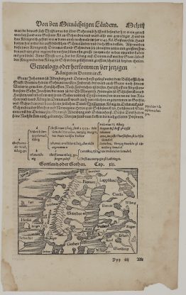
The small woodcut map shows the Danish kingdom and its Baltic neighbours:
- Denmark: Jutland with Viborg, Schleswig (“Sleßwick”) and Ribe (“Ripē”), Holstein, Hamburg and Lübeck;
- the Danish islands: Funen (“Fyon”), Zealand with Copenhagen (“Copphhagen”), Lolland, Falster, Fehmarn and Bornholm;
- southern Sweden: Westergötland, “Gothen”, Småland and Värmland, with Nylödöse and Kalmar, and Öland and Gotland;
- the Baltic coast: Rügen (“Regia”) and Prussia (“Prüssen”) in the lower right corner.
The German text below begins Cap. I. It explains that Denmark, called “Dacia” and “Dania”, consists of a large land and many islands, and that its front part was the ancient Cimbric peninsula, now Jutland. It also describes the Cimbri’s war against Rome, with the side-note “Cimbrisch krieg” (Cimbrian War).
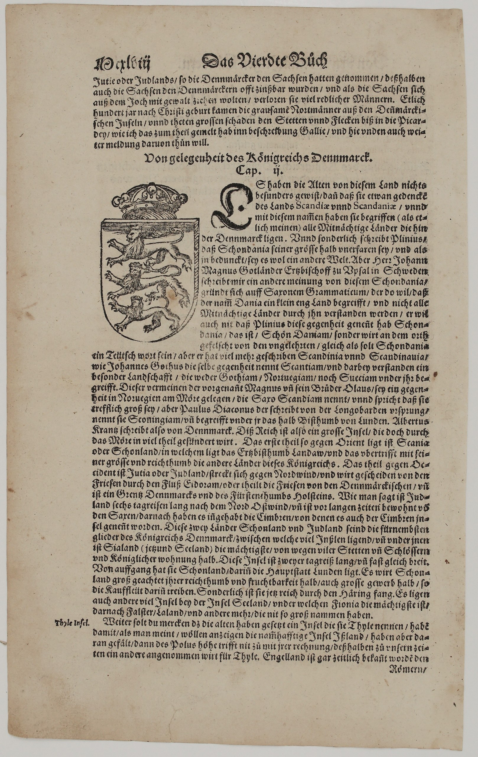
On the other side is a woodcut of the Danish coat of arms with three lions under a crown. It accompanies Cap. II, “Von gelegenheit des Königreichs Dennmarck” (Of the Situation of the Kingdom of Denmark), on the names Scandia and Scandinavia. The chapter covers:
- a personal letter to Münster from Johannes Magnus Gothus, Archbishop of Uppsala;
- Saxo Grammaticus, Paulus Diaconus and Albert Krantz;
- Scania with the archbishopric of Lund, Jutland and its border with Holstein on the Eider;
- Zealand, enriched by herring fishing, and Funen;
- the remark that ancient Thule was not Iceland.
Cartographer: Sebastian Munster (1488 – 1552)
Publisher: Henricpetri press, Basel
Leaf size: 33,3 x 20,5 cm
Year: 1578 – 1588
Technique: Woodcut, with letterpress text
Condition:
Very good. Strong, dark impression with full margins. The paper is lightly toned, with light marginal soiling and a few small spots. There is minor edge wear and some show-through of the text.
This is an original antique map published between 1578 – 1588 and not a modern copy or reprint
On your request I will provide a Certificate of Authenticity
In stock