- You cannot add that amount to the cart — we have 1 in stock and you already have 1 in your cart. View cart
1581 – G. Braun & F. Hogenberg – Konigssbergk und Riga
1,500 €
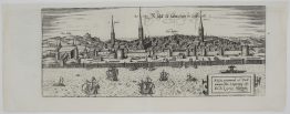
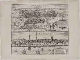
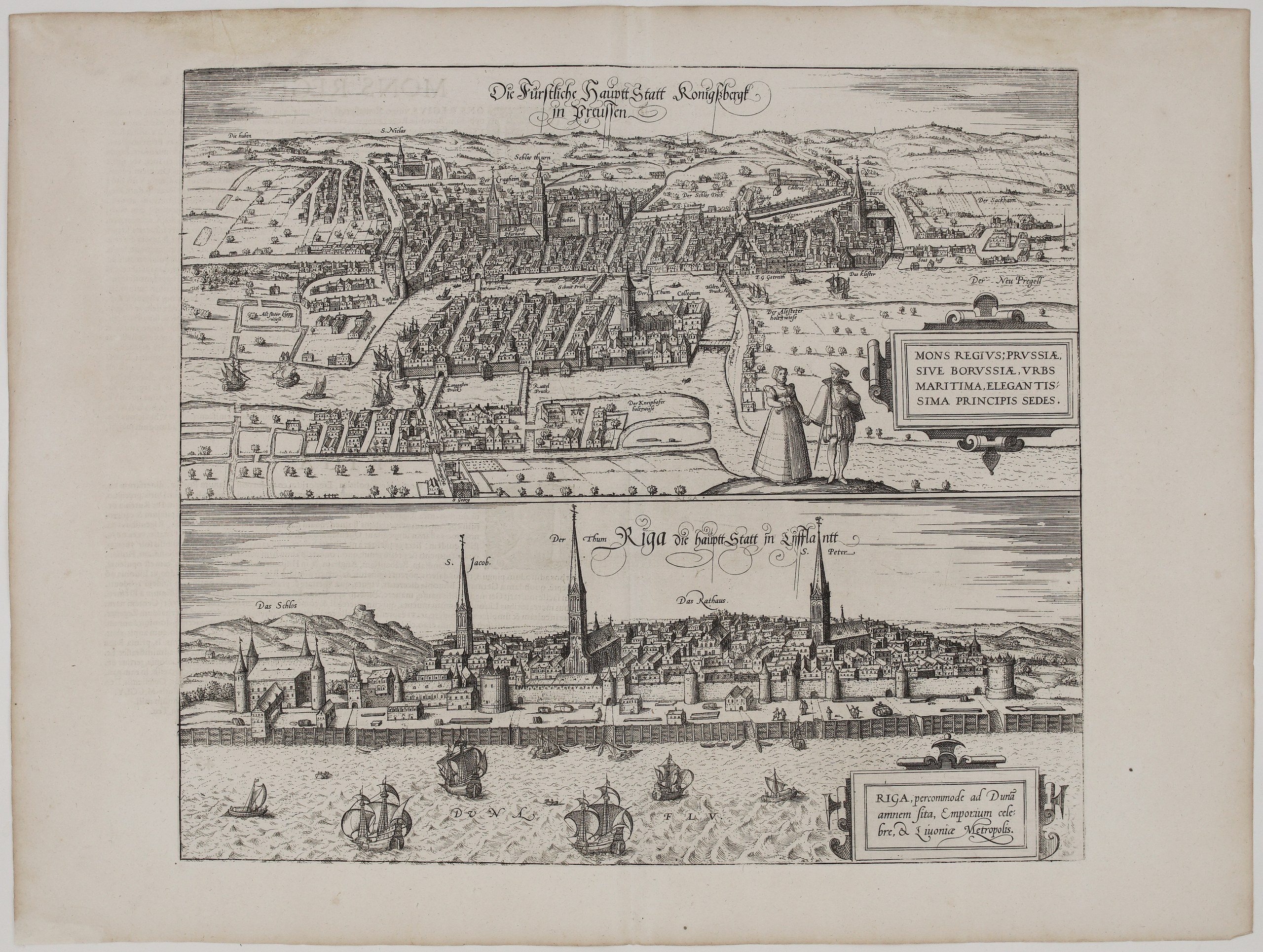
Title: Die Fürstliche Hauptt Statt Konigssbergk in Preussen / Riga die hauptt Statt in Lifflantt
(The Princely Capital Königsberg in Prussia / Riga, the Capital of Livonia)
Description:
This sheet has two of the most important Baltic city views of the Renaissance, published by Georg Braun and Frans Hogenberg in Cologne in the great city atlas Civitates Orbis Terrarum, comes from the first Latin edition published in 1581.
The upper view is a bird’s-eye view of Königsberg, today’s Kaliningrad, the capital of Ducal Prussia. It shows the three towns of the Altstadt, Kneiphof and Löbenicht around the Pregel river. Labels include the castle tower (“Schlos thurn”), the cathedral (“Der Thum”) and the university (“Collegium”) on the Kneiphof island, St Nicholas, St George, the Sackheim suburb and the “Neu Pregell”. Ships lie at anchor on the river, and a Prussian couple in fine dress stands in the foreground. The cartouche praises Königsberg as “Prussiae, sive Borussiae, urbs maritima, elegantissima principis sedes” (the maritime city of Prussia, the most elegant seat of the prince).
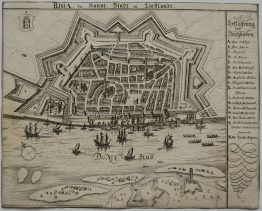
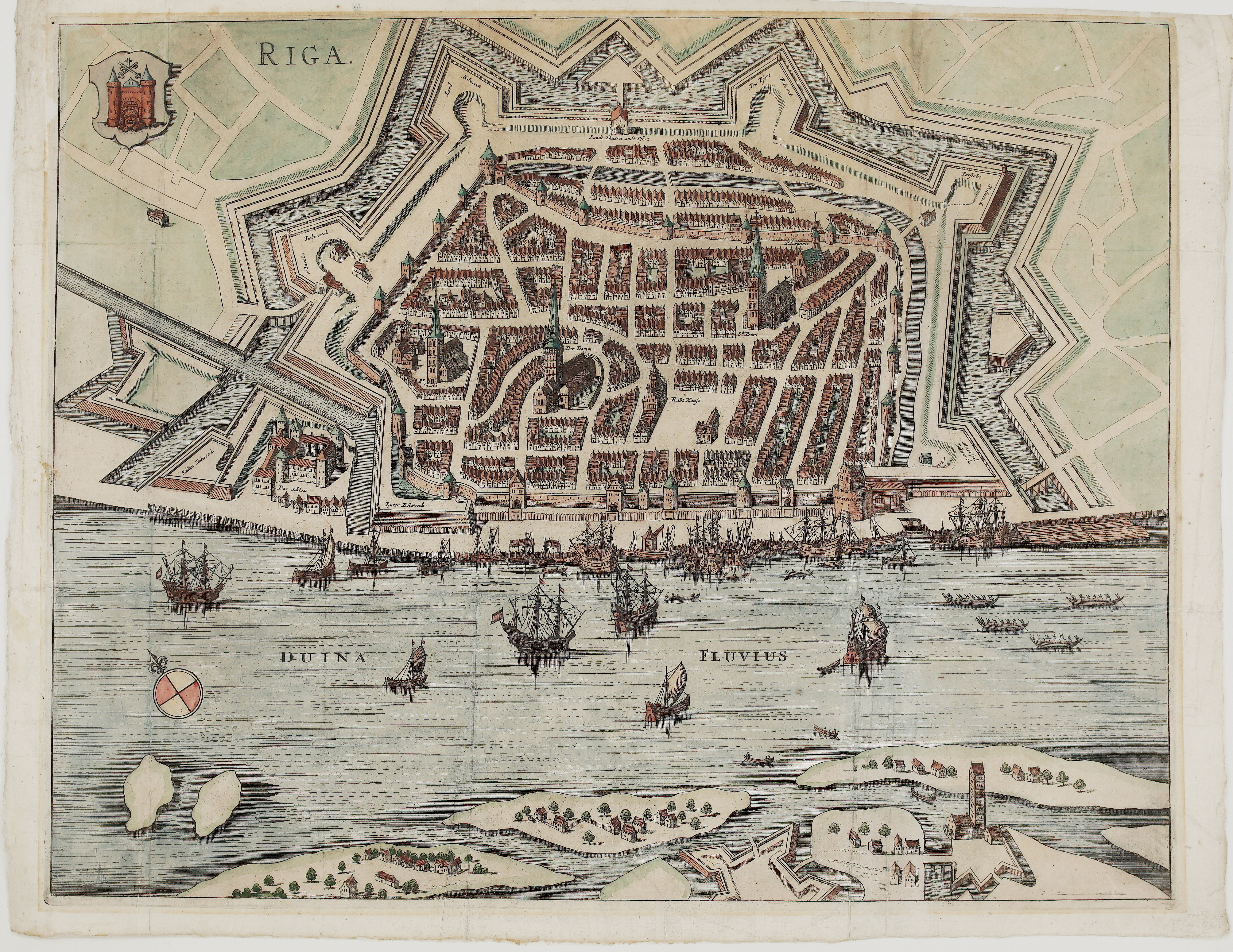
The lower view is a panorama of Riga seen from the Daugava (“Duna Flu.”). The walled city is lined with ships and boats, and the labels name the Castle (“Das Schlos”), St James, the Cathedral (“Der Thum”), the Town Hall (“Das Rathaus”) and St Peter. The cartouche calls Riga “percommode ad Dunam amnem sita, Emporium celebre, & Livoniae Metropolis” (very conveniently situated on the river Daugava, a famous market town and the metropolis of Livonia).
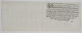
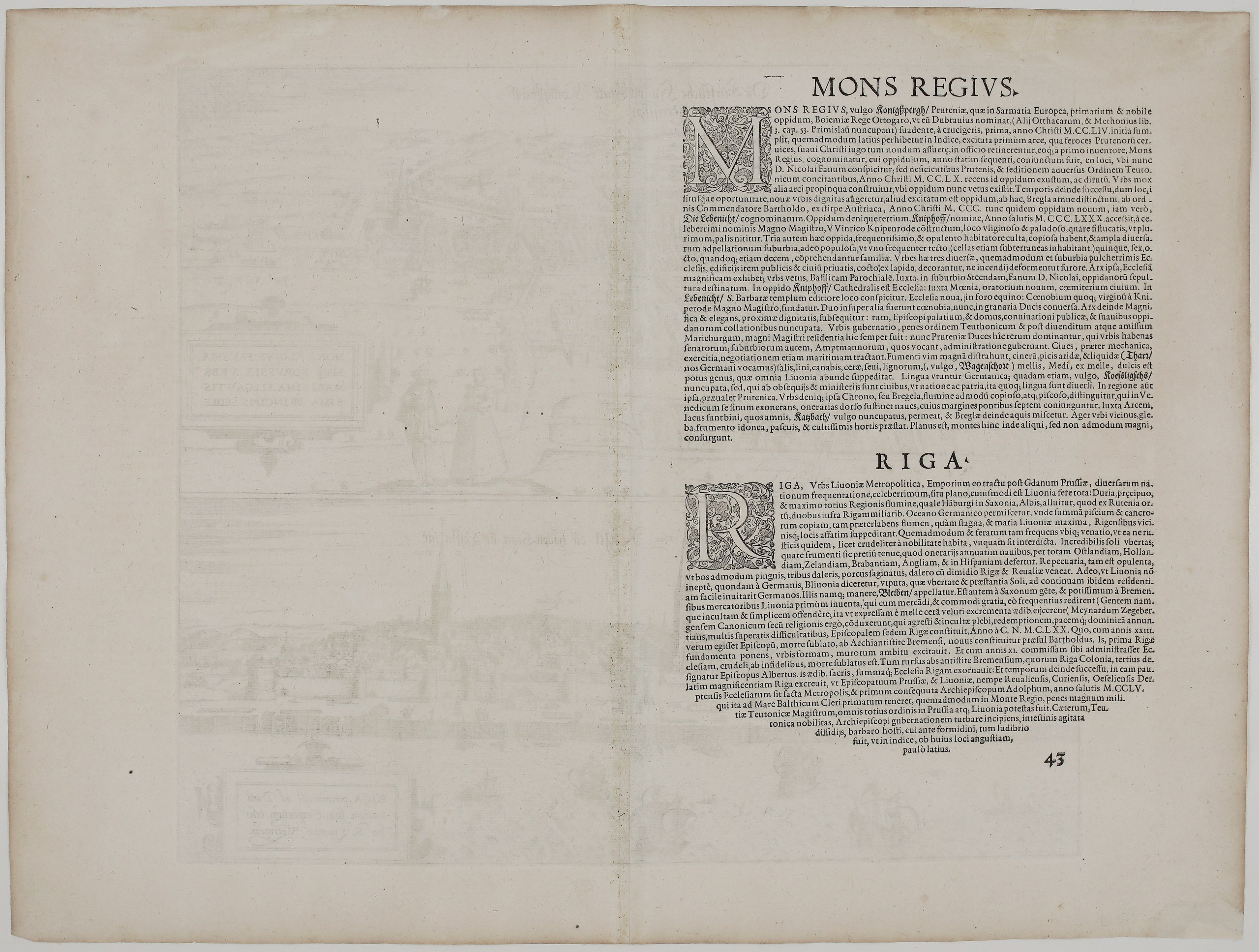
The Latin text on the back, page 43, describes both cities:
- Königsberg: a “noble town of Sarmatia Europea”, founded in 1254 by the Teutonic Knights with King Ottokar of Bohemia. It describes:
- the three towns, with Löbenicht and Kneiphof founded under Grand Master Winrich von Kniprode;
- the cathedral and castle;
- the trade in grain, ash, pitch, tar, salt, flax, hemp, wax, honey and mead;
- the river Pregel, whose banks were “joined by seven bridges”, the famous Seven Bridges of Königsberg later made celebrated by Euler.
- Riga: the metropolis of Livonia and the busiest trading city of the region after Gdańsk, shipping goods to Holland, Zeeland, Brabant, England and Spain. It also tells how Bremen merchants first found Livonia and how bishops Meinhard, Berthold and Albert founded the city, which became an archbishopric in 1255.
Cartographers: Georg Braun (1541 – 1622) & Franz Hogenberg (1535 – 1590)
Publisher: Cologne, Gottfried von Kempen for Braun & Hogenberg
Atlas: Urbium Praecipuarum Totius Mundi Liber Tertius (Civitates Orbis Terrarum, Vol. III), plate 43
Leaf size: 56,4 x 42,3 cm
Year: 1581
Technique: copper engraving
Reference: Van der Krogt 4, 41:1.3; Fauser 6726 & 11781; Taschen (Braun & Hogenberg) p. 249
Condition:
Very good. Strong, dark impression with wide margins, and the central fold is as issued. Watermarked paper. The paper is lightly toned. Faint offset of the facing text page shows in the upper part of the sheet, and there are a few small spots, mostly in the margins.
This is an original antique map published in 1581 and NOT a modern copy or reprint
On your request I will provide a Certificate of Authenticity
In stock