1656 – M. Zeiller – Riga
150 €
Title: RIGA
Description:
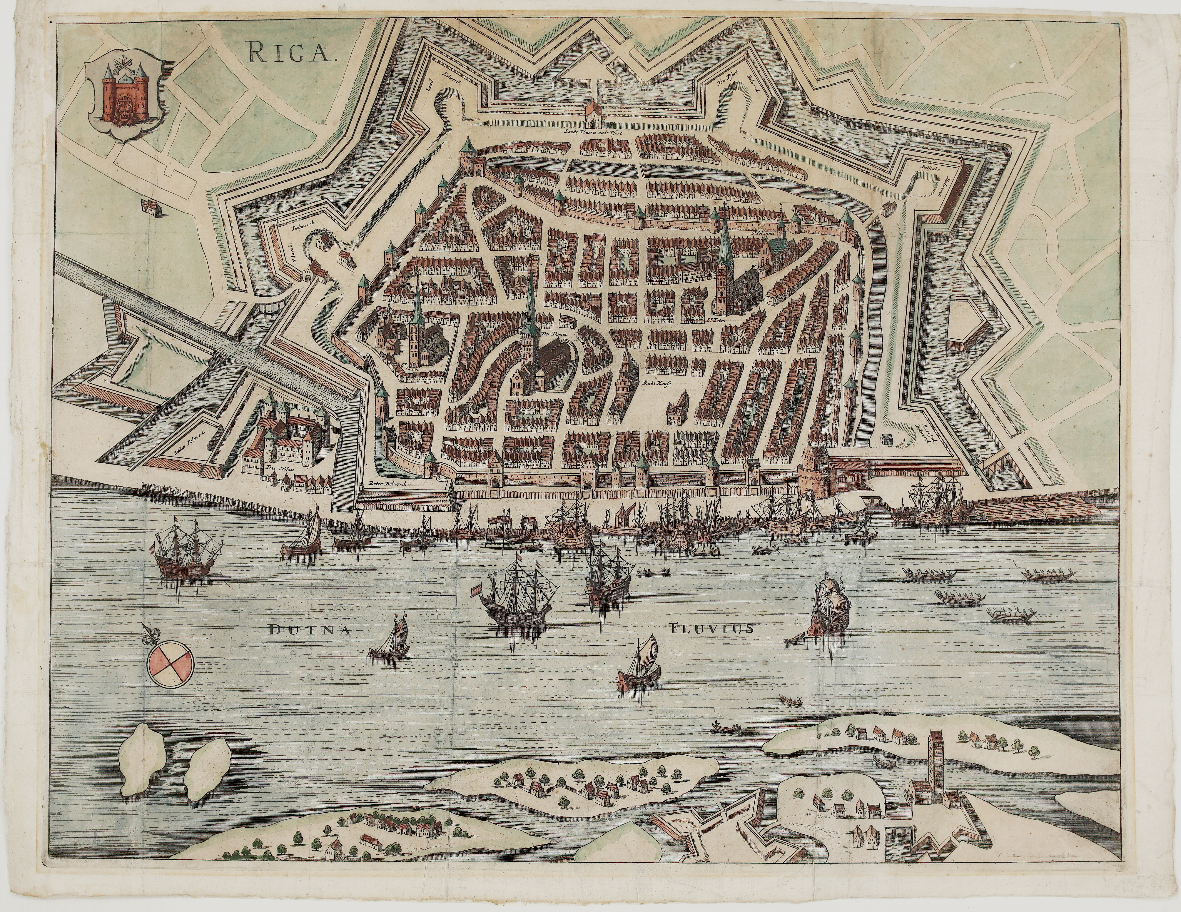
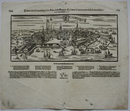
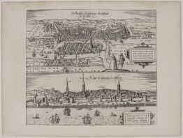
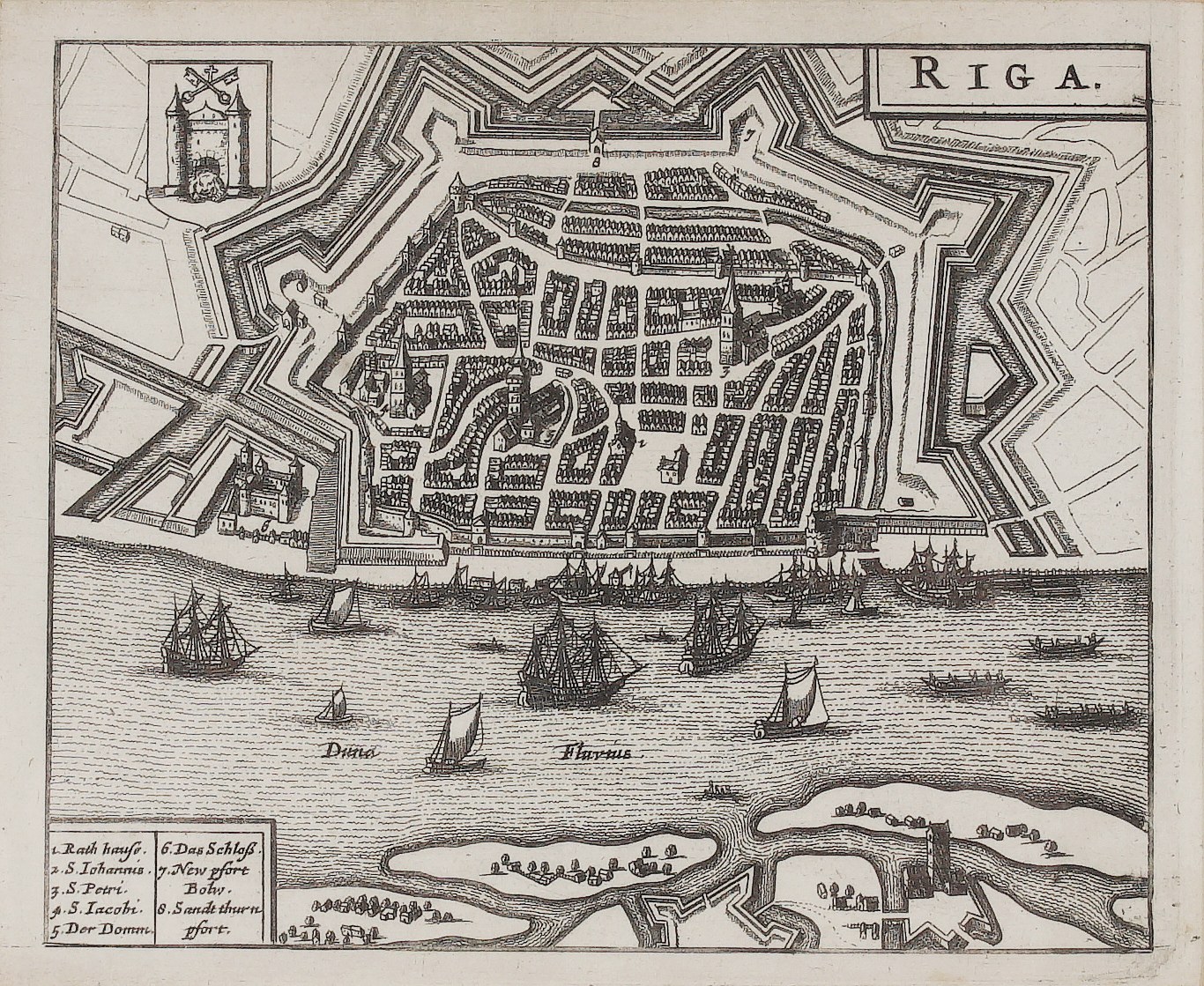
This charming small plan of Riga comes from Martin Zeiller’s description of the Swedish kingdom and its Baltic lands, published in Amsterdam by Aegidius Janssonius Valckenier. That pocket-sized volume describes Sweden, Finland, Livonia, Pomerania, Bremen and Wismar. It contains thirteen folding plates of the most important towns under Swedish rule, among them Stockholm, Reval (Tallinn), Riga, Stralsund, Stettin and Bremen.
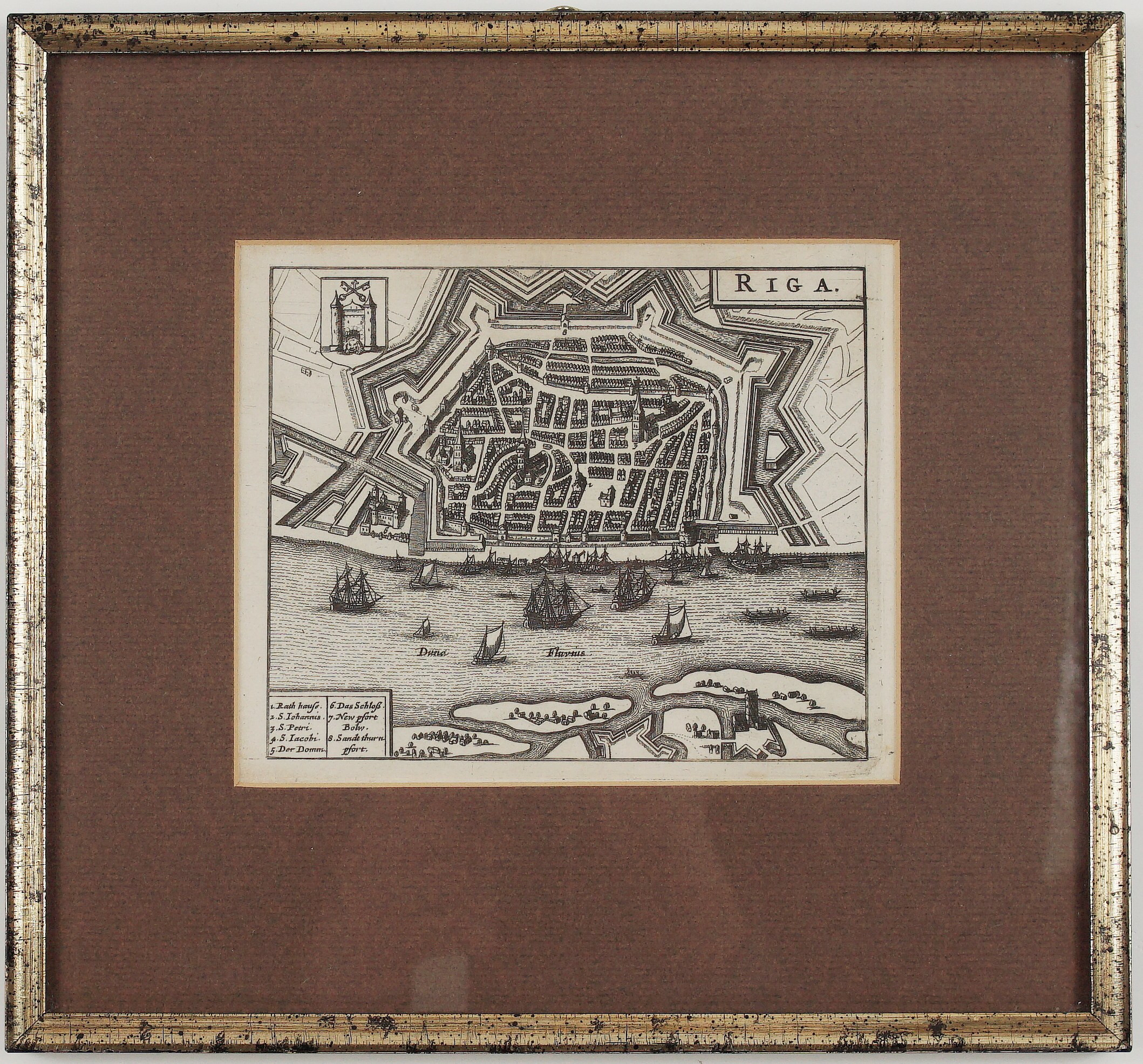
The plate is a skilful reduced copy of Matthäus Merian’s plan. It shows Riga, the largest city of the Swedish Empire after Stockholm, encircled by the new Swedish bastions, with the castle at the left. Ships and galleys crowd the Daugava (“Duna Fluvius”), and fortified islands and the Kobron fort lie on the opposite bank. The arms of Riga, two towers with crossed keys and a lion’s head in the gate, appear at upper left, and the title “RIGA.” is in a frame at upper right.
A German key names eight places:
- Town Hall (“Rath hauße”)
- St John (“S. Iohannis”)
- St Peter (“S. Petri”)
- St James (“S. Iacobi”)
- the Cathedral (“Der Domm”)
- the Castle (“Das Schloß”)
- the Neupforte bastion (“New pfort Bolw.”)
- the Sand Tower Gate (“Sandt thurn pfort”)
Publisher: Aegidius Janssonius Valckenier, Amsterdam
Cartographer/Artist: after Matthäus Merian (1593–1650)
Atlas: Martin Zeiller, Regnorum Sueciae, Gothiae, magnique Ducatus Finlandiae ut & Livoniae… descriptio nova
Frame size: 24,5 x 22,5 cm
Year: 1656
Technique: copper engraving
Reference: Warmholtz 196; Winkelmann, Bibliotheca Livoniae Historica 671
Condition:
Very good. Strong, dark impression. The paper is lightly toned. It is framed under a brown mount in a silver-gilt frame, behind glass.
This is an original antique map published in 1656 and NOT a modern copy or reprint
On your request we will provide a Certificate of Authenticity
In stock