- You cannot add that amount to the cart — we have 1 in stock and you already have 1 in your cart. View cart
1720 – G. Bodenehr – Riga wie es 1700
150 €
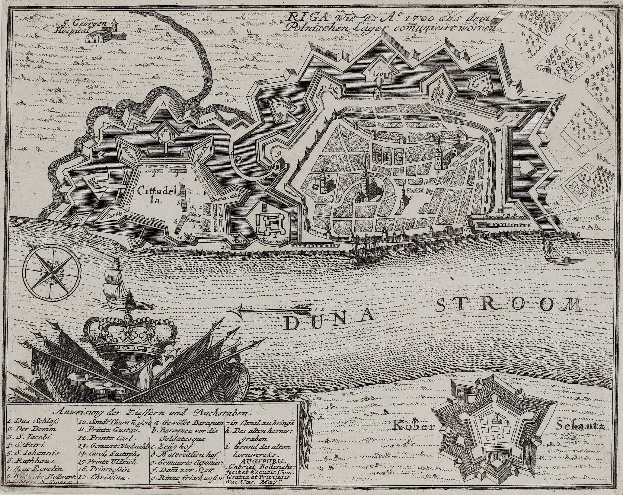
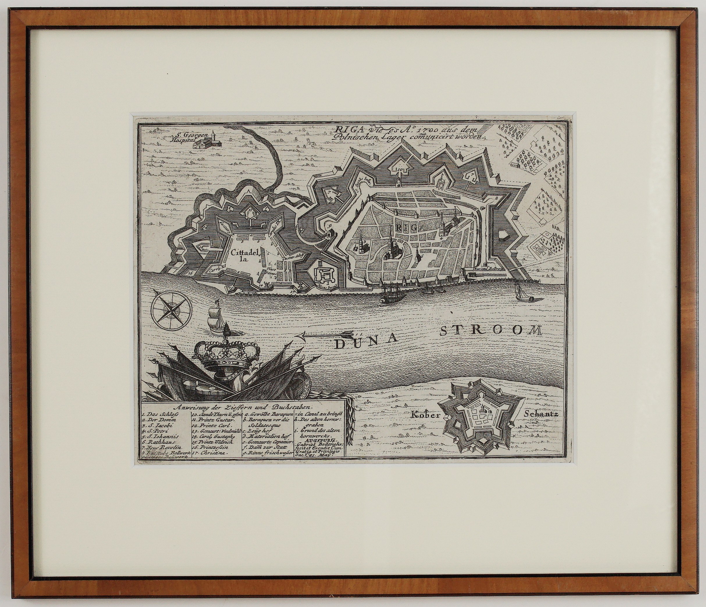
Title: RIGA wie es A° 1700 aus dem Polnischen Lager communicirt worden
(Riga as it was communicated from the Polish camp in the year 1700)
Description:
This is a detailed military plan of Riga at the outbreak of the Great Northern War. As the title says, it was drawn from information sent from the Saxon-Polish camp of King Augustus II, whose troops besieged the Swedish-held city in 1700. Gabriel Bodenehr engraved and published it in Augsburg for his Force d’Europe, a collection of plans of Europe’s most important fortresses.
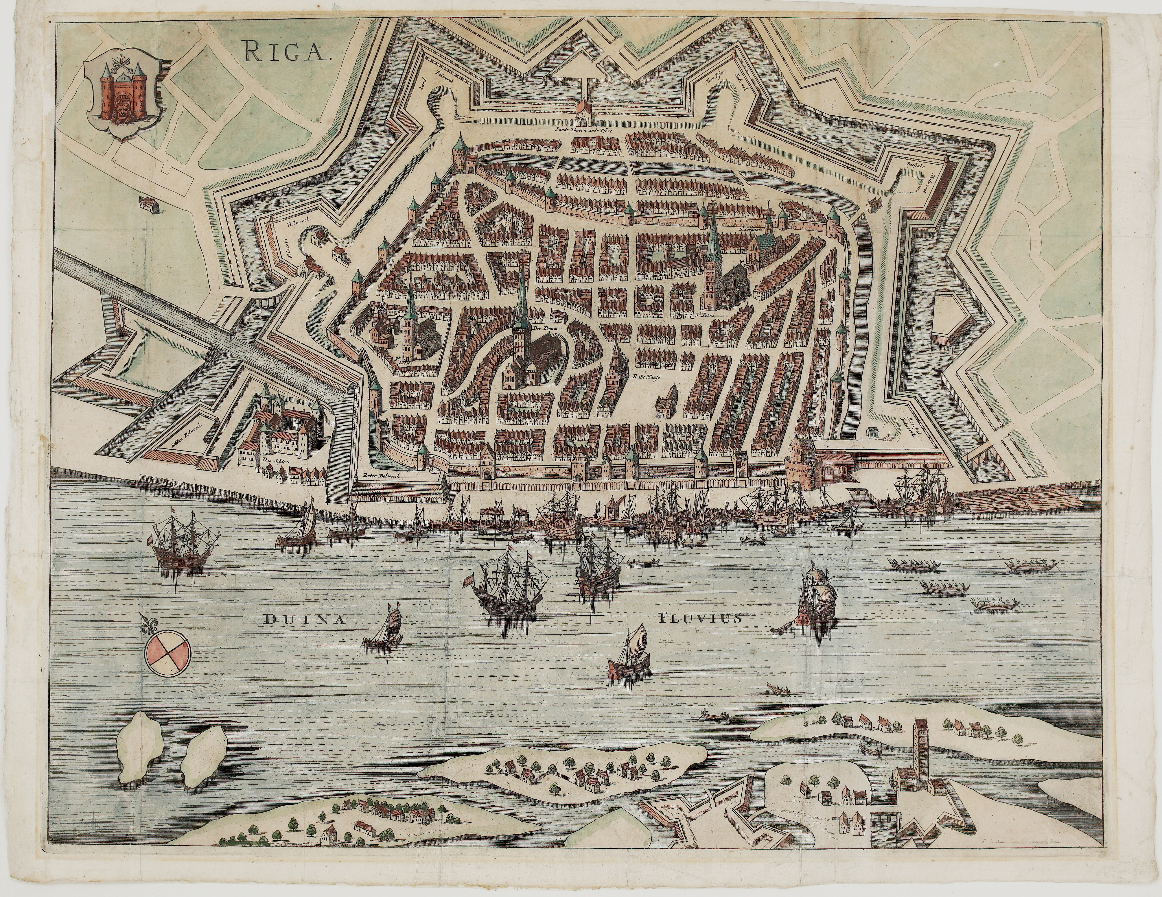
The plan shows the walled Old Town of Riga with its churches and streets, surrounded by bastions, ravelins and moats. To the west lies the great Swedish citadel, whose bastions bear the names of the Swedish royal house: Carolus IX, Carolus XI, Gustav Adolf, Printz Gustav, Printz Carl, Carol Gustaph, Printz Ulrich, Printzessin and Christina. St George’s Hospital stands outside the walls, and gardens and suburbs lie beyond. Across the Daugava (“Düna Stroom”) is the star-shaped Kober Schantz (Kobron fort), and ships lie on the river.
A trophy of a royal crown, flags, lances, drums and cannon frames the key “Anweisung der Ziffern und Buchstaben” (Explanation of the numbers and letters). The key lists:
- Buildings: the Castle, Cathedral, St James, St Peter, St John, the Town Hall and the citadel’s barracks.
- Military works: the bastions, the arsenal (“Zeughof”), the store yard, the caponier and the dam to the city.
- Engineering: a channel for fresh water and the old hornwork.
The imprint reads “Augspurg, Gabriel Bodenehr fecit et excudit cum Gratia et Privilegio Sac. Caes. May.”
Cartographer/Artist: Gabriel Bodenehr the Elder (1673–1765)
Publisher: Gabriel Bodenehr, Augsburg
Atlas: Force d’Europe oder die Merckwürdigst- und Fürnehmste… Stætte, Vestungen, Seehaefen…
Frame size: 32,0 x 27,5 cm
Year: 1720
Technique: copper engraving
Reference: Force d’Europe
Condition:
Very good. Strong, dark impression. The paper is lightly toned, with minor spots. It is framed under a cream mount in a light wood frame with a black fillet, behind glass. The mount slightly covers the last line of the key at lower left.
This is an original antique map published in 1720 and NOT a modern copy or reprint
On your request we will provide a Certificate of Authenticity
In stock