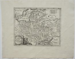
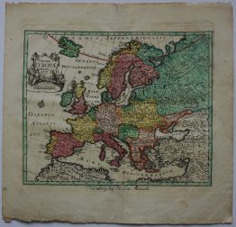
1749 – T. Jefferys – Poland Lithuania and Prussia
Title: “POLAND LITHUANIA and PRUSSIA”
Description:
Nice map of the Kingdom of Poland, before first partition in 1772. Published in Thomas Salmon’s book “A New Geographical and Historical Grammar” in London.
Cartographer: Thomas Jefferys (1719 – 1771)
Sheet size: 19,8 x 25,0 cm
Year: 1749
Technique: copper engraving
Condition:
Very good condition! Very attractive hand colouring. Folding line as issued.
This is a genuine antique map published in 1749 and not a modern copy or reprint!