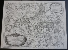
1808 – J. C. M. Reinecke – Island
100 €
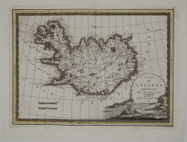
Title: “Charte von Island und den Färöer Inseln”
Description:
Rare and decorative map of Iceland and the Faroe Islands, a reduced copy of a map published by Johann Christoph Matthias Reinecke, published in Allgemeiner Hand-Atlas of Geographische Institut, Prague, 1808. It is based heavily on a landmark 1776 survey map by French navigator Verdun de la Crenne, which was produced following a scientific expedition to the North Atlantic. It features the main island of Iceland divided into its traditional four geographical regions via colored boundary lines. The lower right corner contains a distinct inset map showcasing the Faroe Islands (Färöer Inseln).
Cartographer: Johann Christoph Matthias Reinecke
Sheet size: 46,0 x 32,0 cm
Year: 1808
Technique: copper engraving
Condition:
Good condition. Upper left margin restored.
This is an original antique map published in 1808 and NOT a modern copy or reprint
On your request I will provide a Certificate of Authenticity
In stock