1578-1588 – S. Munster – Thunis und Goleta
200 €
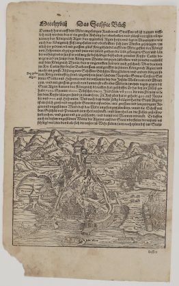
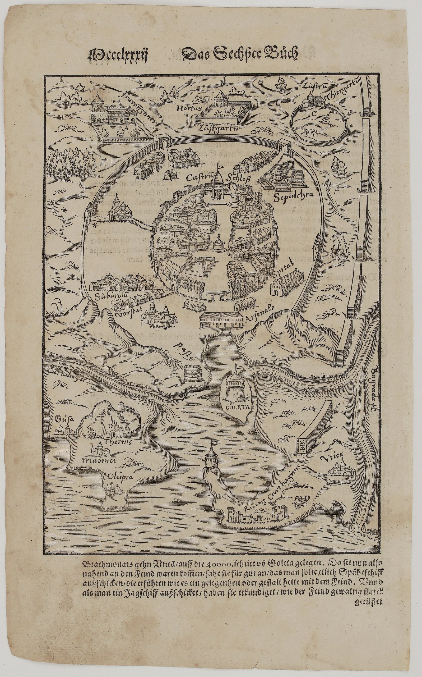
Title: Abcontrafactur der Königlichen Statt Thunis vnd des Schloß Goleta
(Portrait of the Royal City of Tunis and the Castle of La Goletta)
Description:
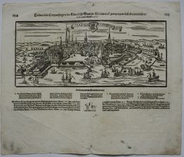
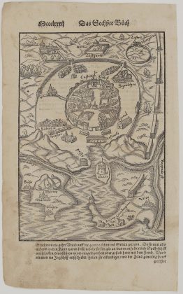
This dramatic woodcut bird’s-eye plan of Tunis was made for Sebastian Münster’s Cosmographey. The artist was the Swiss Hans Rudolf Manuel Deutsch, whose monogram “RMD” with his dagger appears beside the ruins of Carthage. A cutter’s mark “HB” with a knife is on the end of the aqueduct. The plan is based on the Italian view of Charles V’s capture of Tunis in 1535. Unknown issue of Sebastian Münster’s Cosmographey.
The walled city stands at the top, with its “Castrum/Schloß”, the royal tombs (“Sepulchra”), the hospital (“Spital”), the arsenal and the suburb (“Suburbium/Vorstat”). The great outer wall encloses:
- (A) the women’s palace (“Frawenzimmer”);
- (B) the pleasure garden (“Hortus/Lustgarten”);
- (C) the deer park (“Thiergarten”).
Below, a channel leads past the fortress of La Goletta to the Gulf of Tunis. Around the gulf are:
- the “Ruinae Carthaginis” and Utica;
- the long Roman aqueduct;
- the Bagrada river (Medjerda);
- the baths (“Thermae”), Hammamet (“Maomet”) and Clupea (Kelibia) on Cape Bon.
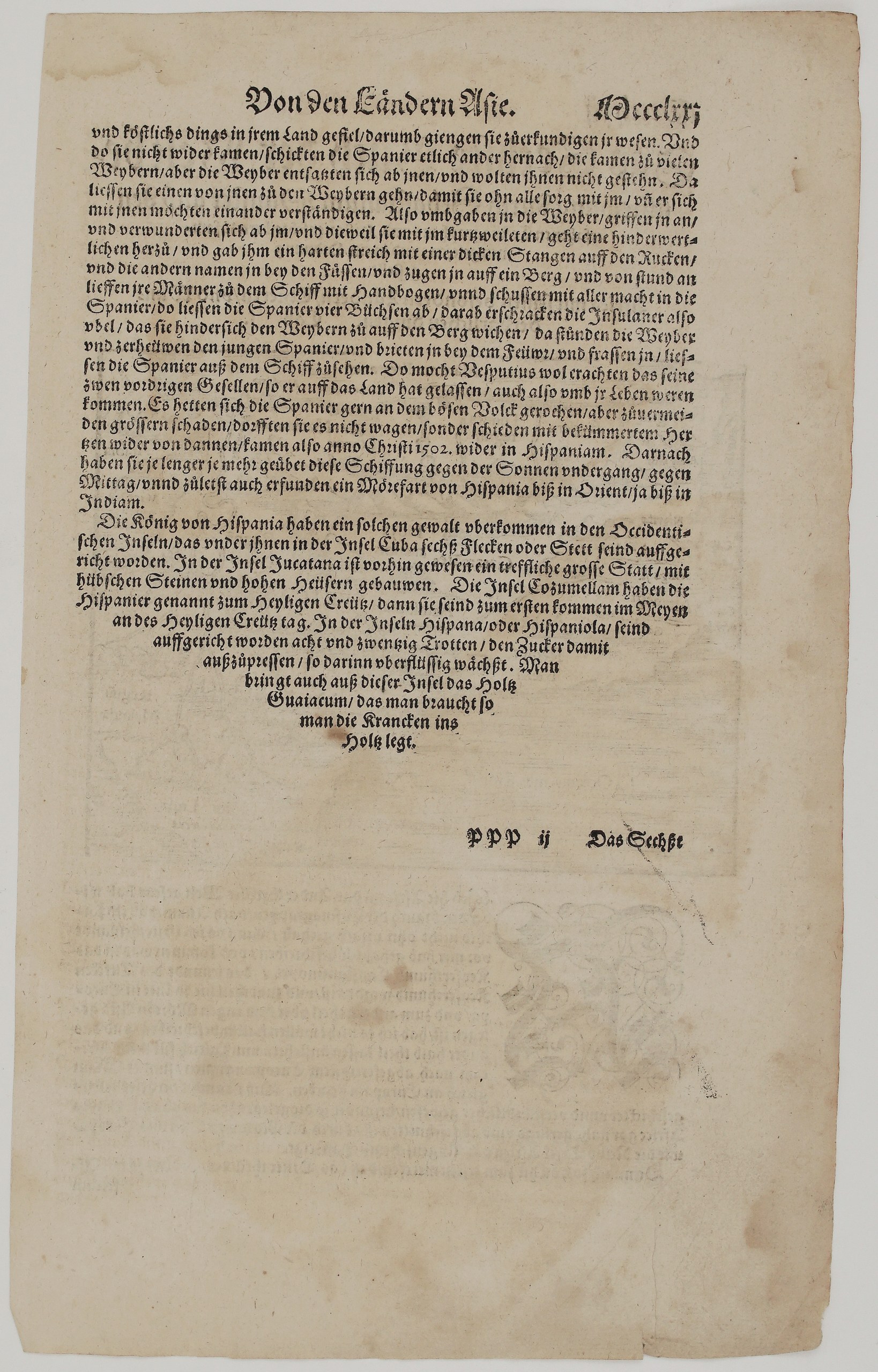
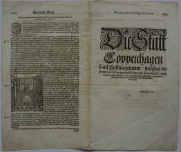
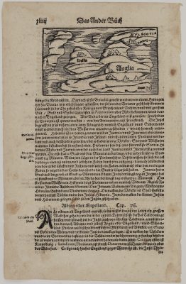
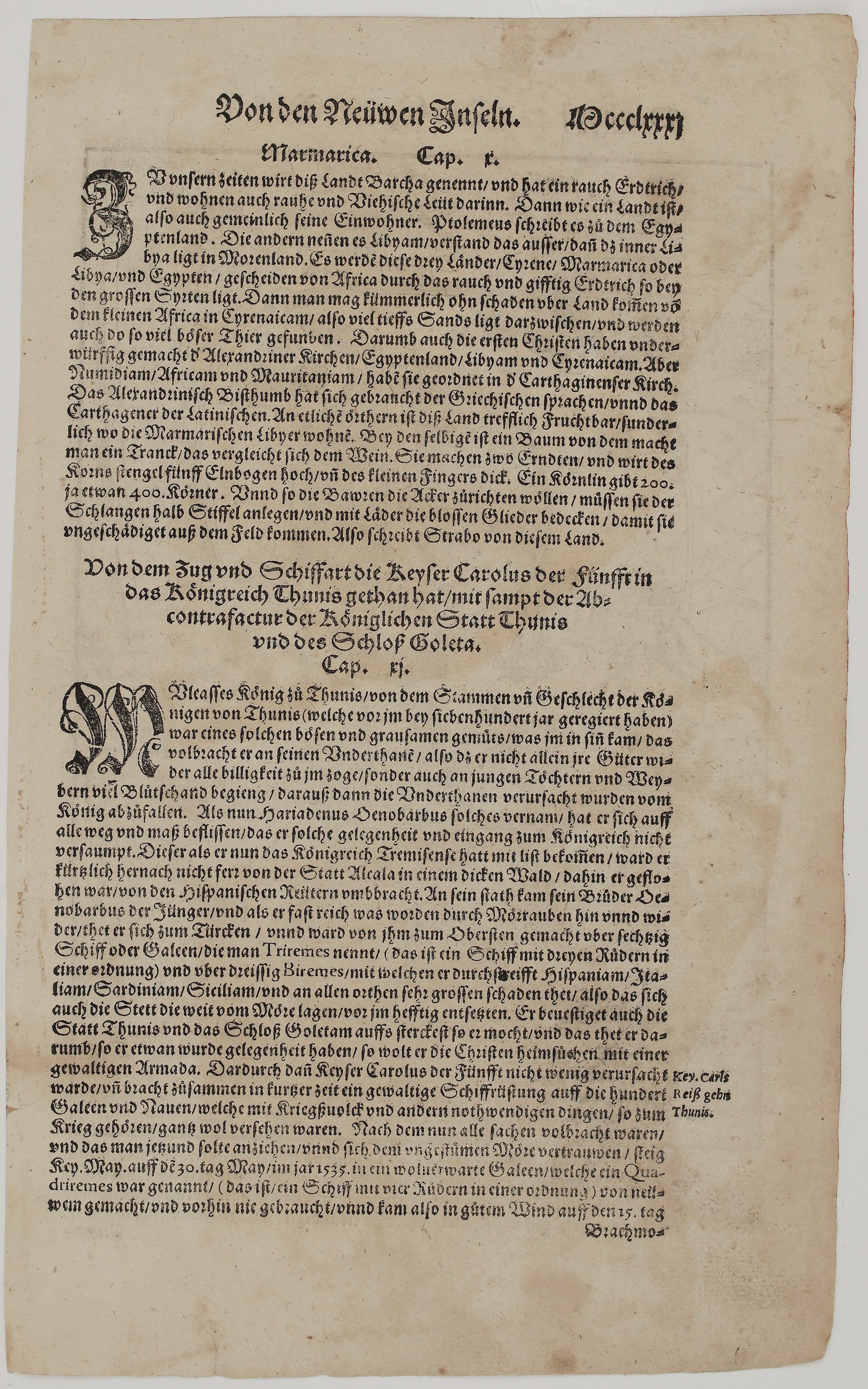
On the other side is the chapter on Marmarica (Barca). It is followed by Cap. XI: “Von dem Zug vnd Schiffart die Keyser Carolus der Fünfft in das Königreich Thunis gethan hat” (Of the Expedition and Voyage that Emperor Charles V Made to the Kingdom of Tunis). The chapter tells how:
- the cruelty of King Muley Hassan (“Muleasses”) lost him his subjects;
- the Barbarossa brothers rose to power, the younger joining the Turks with sixty galleys to raid Spain, Italy, Sardinia and Sicily;
- he fortified Tunis and La Goletta;
- Charles V set sail on 30 May 1535 and arrived in mid-June.
The narrative continues under the map with the landing near Utica, 40,000 paces from La Goletta.
Cartographer: Sebastian Munster (1488 – 1552)
Publisher: Henricpetri press, Basel
Leaf size: 33,3 x 20,5 cm
Year: 1578 – 1588
Technique: Woodcut, with letterpress text
Condition:
Very good. Strong, dark impression with full margins. The paper is evenly toned, with light marginal soiling and a few small spots. The edges are slightly irregular with small chips, and there is some show-through of the text.
This is a genuine antique map published between 1578 – 1588 and not a modern copy or reprint
On your request I will provide a Certificate of Authenticity
In stock