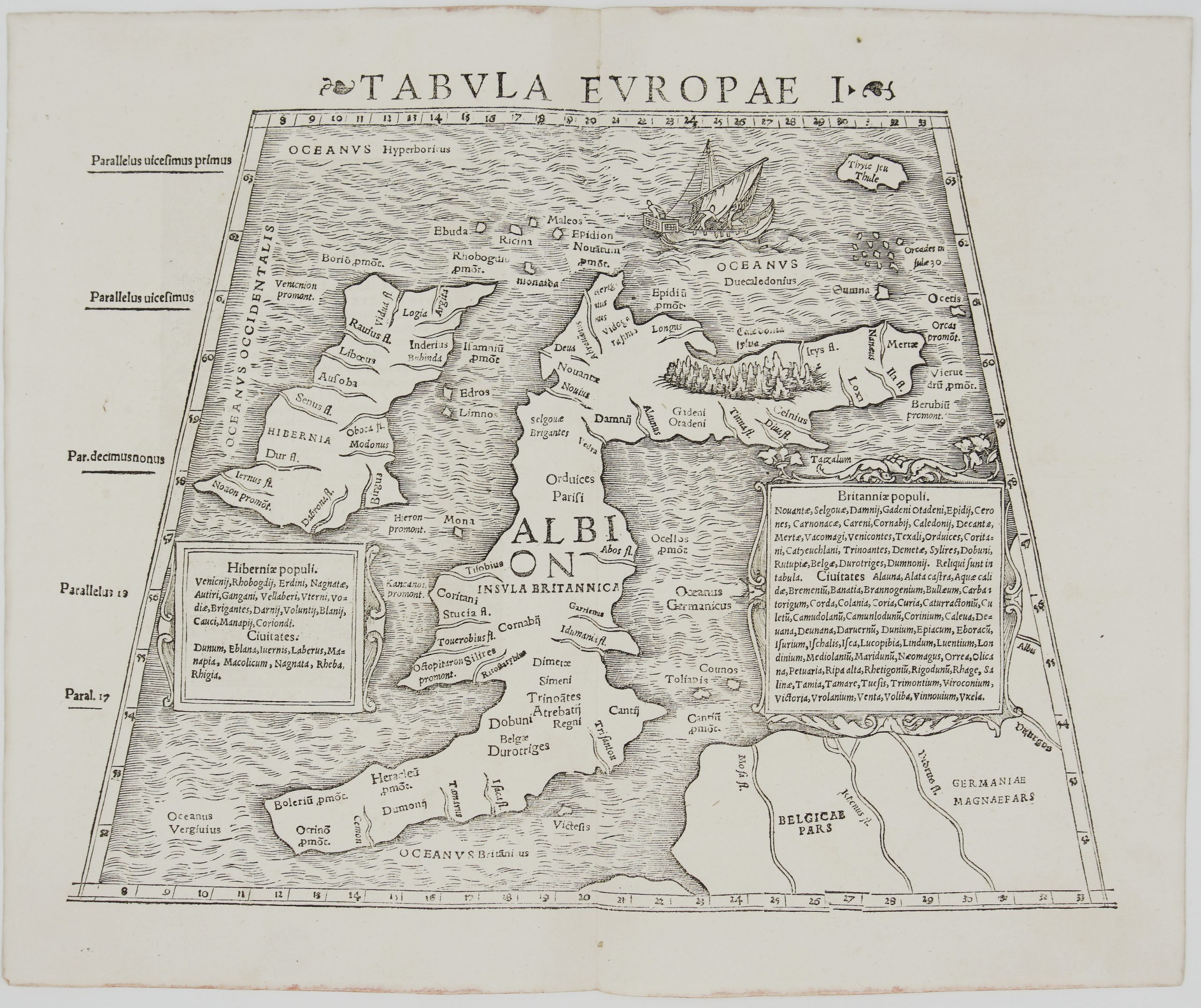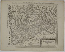
1578-1588 – S. Munster – Von den Britannischen Inseln
150 €
Title: Von den Britannischen Inseln
(Of the British Isles)
Description:
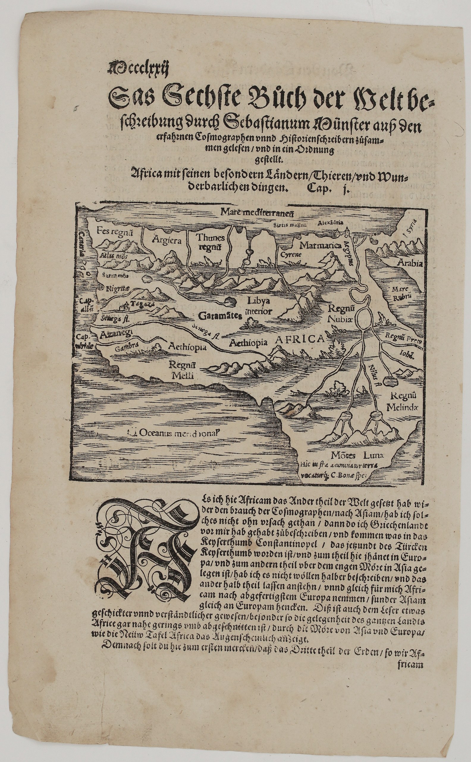
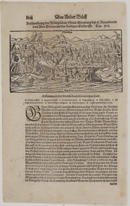
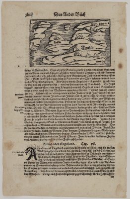
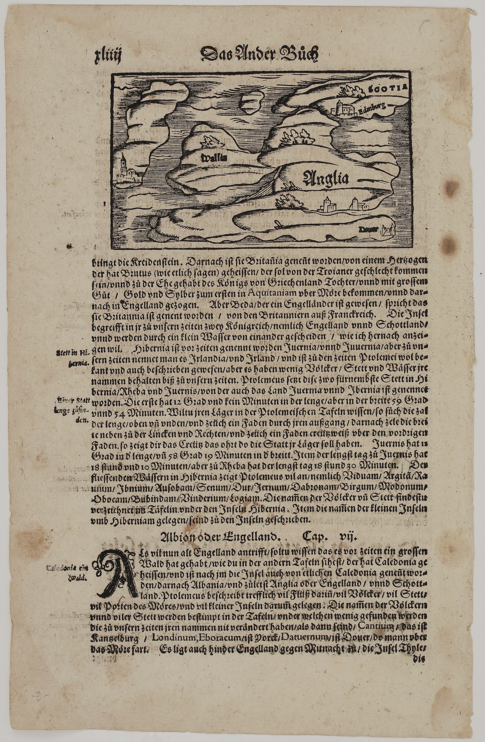
This charming small woodcut map of the British Isles comes from Sebastian Münster’s Cosmographey. It shows England (“Anglia”) with its towns and the port of Dover, Scotland (“Scotia”) with Edinburgh (“Edinburg”), Wales (“Wallis”), and Ireland as a rocky island with a church town on the left. Unknown issue of Sebastian Münster’s Cosmographey.
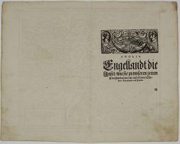
The text below the map recounts:
- the legend that Britain is named after Brutus, of Trojan descent, while Bede derives the name from the Britons of France;
- that the island holds two kingdoms, England and Scotland, separated by “a small water”;
- Ireland’s ancient names Juernia and Iuverna, with Ptolemy’s coordinates and its long midsummer day of 18 hours.
Cap. VII, “Albion oder Engelland”, then describes the ancient Caledonian forest and Ptolemy’s place names: Cantium (Canterbury), Londinium, Eboracum (York) and Dubris (Dover).
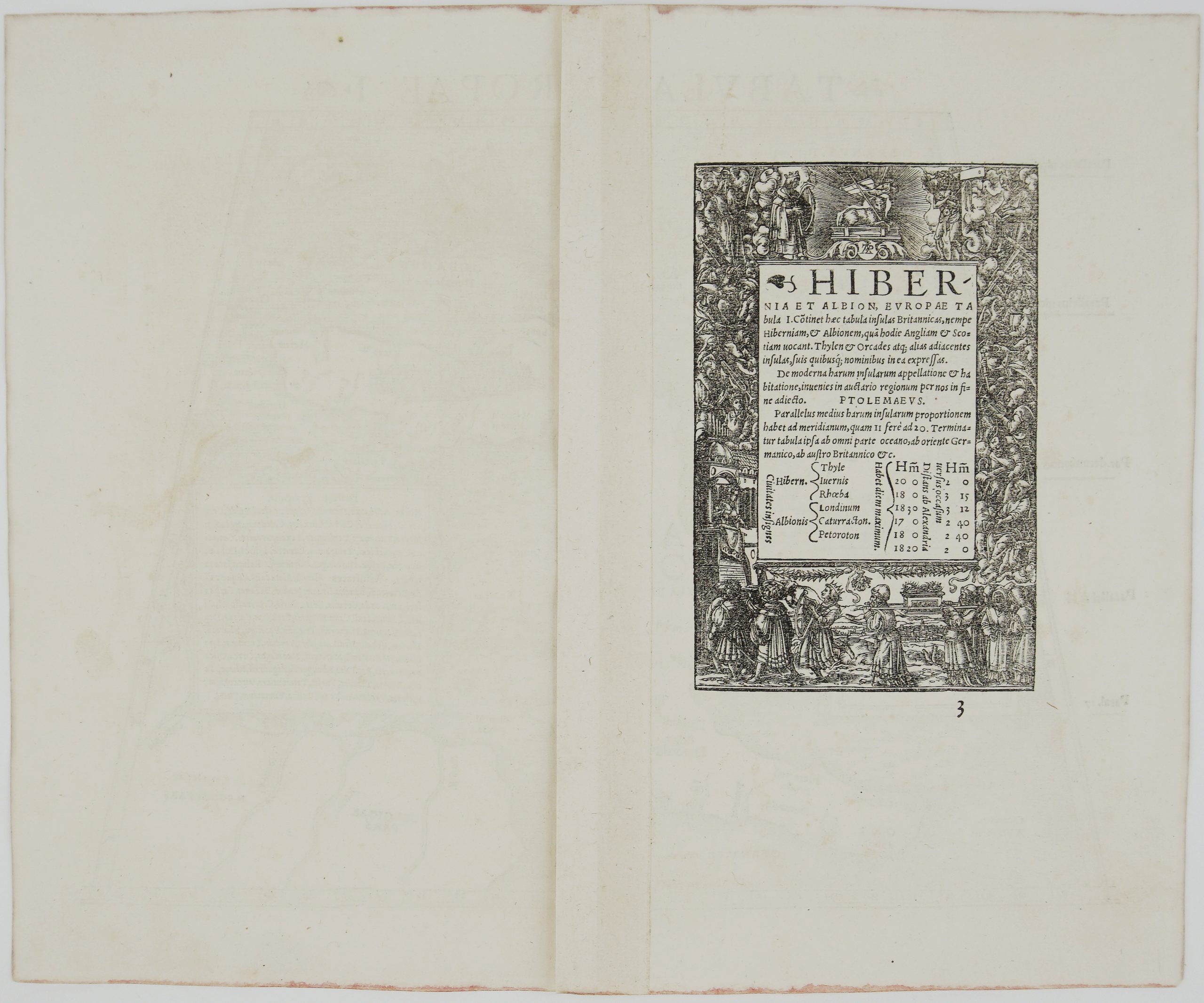
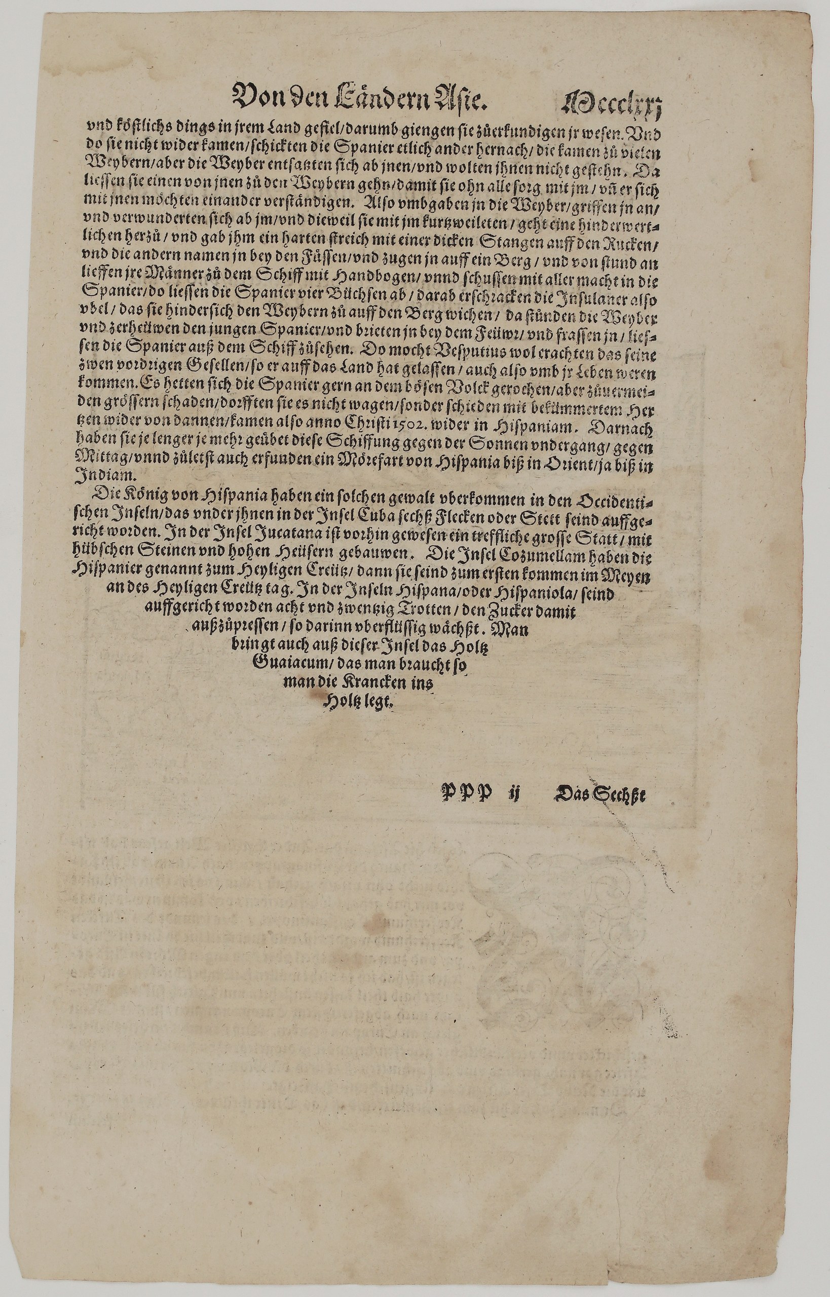
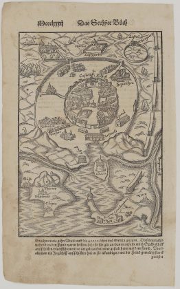
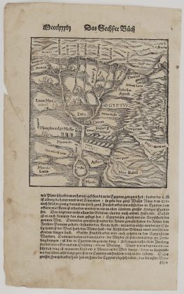
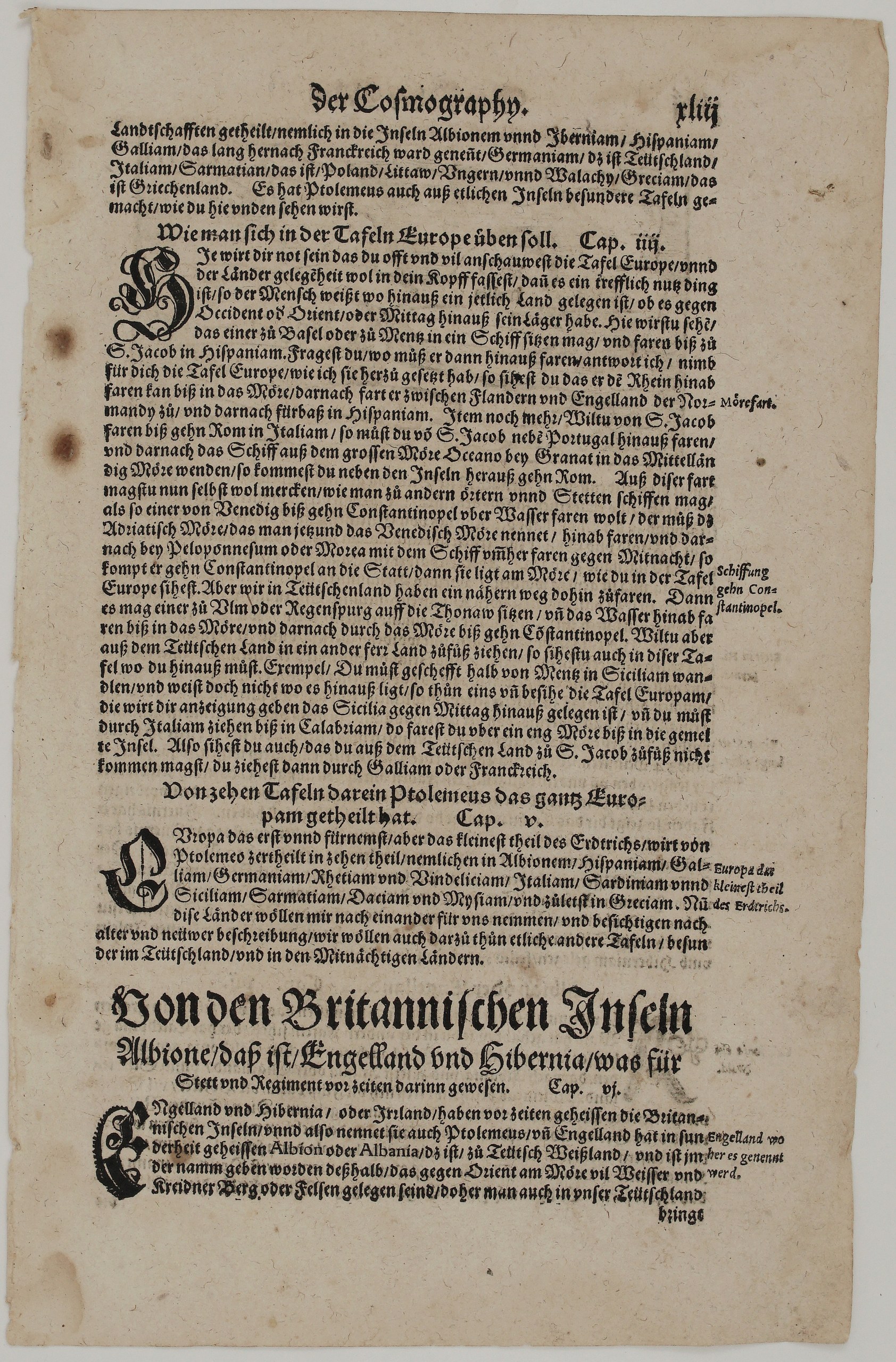
The other side opens Münster’s chapters on the map of Europe. It names the lands of Ptolemy’s Europe, including “Sarmatian, das ist Poland, Littaw, Vngern vnnd Walachy” (Sarmatia, that is Poland, Lithuania, Hungary and Wallachia). It also explains how to use the map of Europe to plan journeys:
- by ship from Basel or Mainz down the Rhine to Santiago de Compostela;
- from Venice by sea to Constantinople;
- from Ulm or Regensburg down the Danube to Constantinople.
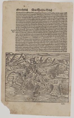
The leaf closes with the chapter heading “Von den Britannischen Inseln Albione, daß ist Engelland vnd Hibernia” (Of the British Isles, Albion, that is England, and Hibernia). It explains that England was called Albion, “Weißland”, after its white chalk cliffs.
Cartographer: Sebastian Munster (1488 – 1552)
Publisher: Henricpetri press, Basel
Leaf size: 33,3 x 21,0 cm
Year: 1578 – 1588
Technique: Woodcut, with letterpress text
Condition:
Good. Strong impression. The paper is toned, with two brown spots in the right margin beside the map and light marginal soiling. There is minor wear and small chips at the edges, and some show-through of the text.
This is a genuine antique map published between 1578 – 1588 and not a modern copy or reprint
On your request I will provide a Certificate of Authenticity
In stock