1635 – Elzevier – Romani Imperii Typus
100 €
Title: Romani Imperii Typus
(Map of the Roman Empire)
Description:
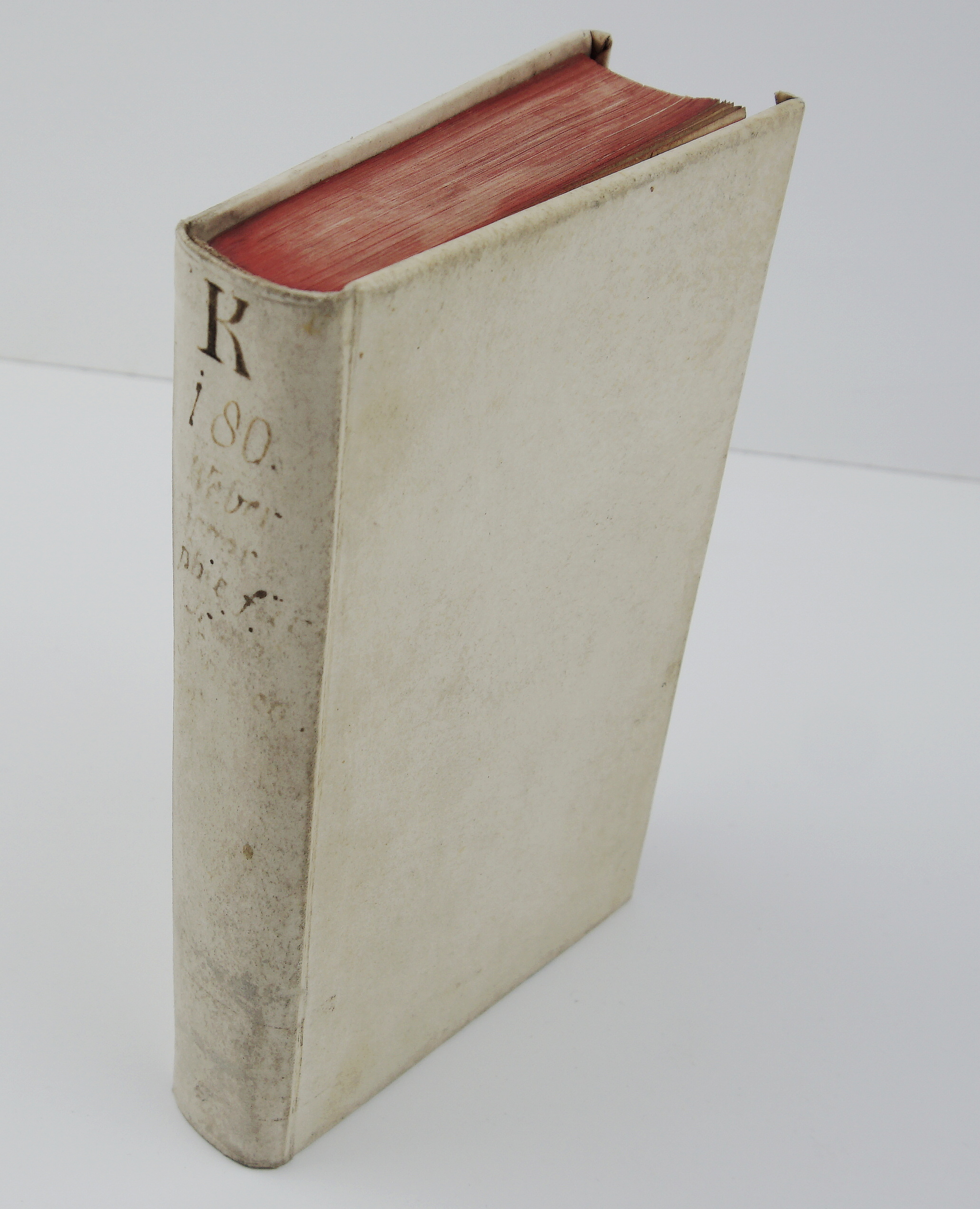
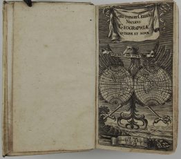
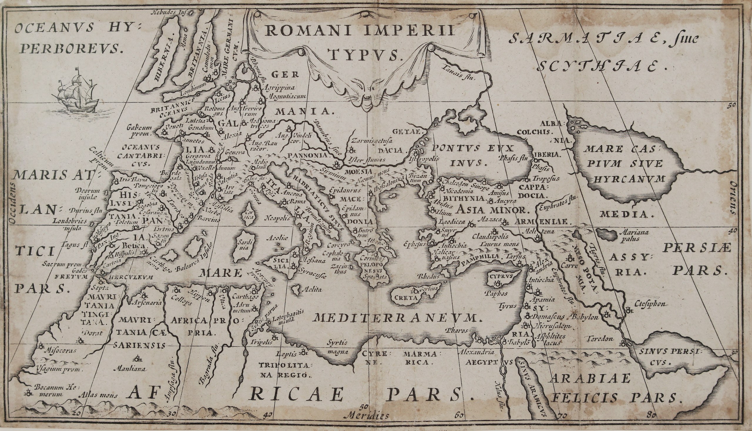
This is an original copper-engraved map of the Roman Empire from the celebrated pocket edition of Julius Caesar’s works. The Elzevier press published it in Leiden in 1635 in Joseph Scaliger’s text, and bibliophiles have long counted it among the finest of all Elzevier books. The map folded into the small volume as a guide to the lands of the Gallic and Civil Wars.
It shows the Roman world from the British Isles to Persia:
- The west: Britain and Ireland, Gaul with Lutetia (Paris), Lugdunum (Lyon) and Burdigala (Bordeaux), and Hispania with Toletum, Corduba and Gades.
- The centre: Germania with Colonia Agrippina and Moguntiacum (Mainz), Pannonia, Dacia and Moesia, and Italy with Rome.
- The south: North Africa from Mauretania to Carthage, Cyrene and Egypt with Alexandria.
- The east: Greece, Asia Minor, Armenia, Syria with Antioch, Damascus and Jerusalem, Mesopotamia and Babylon.
- Beyond the frontiers: Sarmatia, sive Scythia to the north-east (the lands of later Poland and Lithuania), the Caspian, Media, Persia and Arabia Felix.
The title sits in a draped cartouche at the top. A sailing ship crosses the Atlantic, and a latitude and longitude grid is drawn across the map.
Publisher: Elzevier press (Ex officina Elzeviriana)
From: C. Iulii Caesaris quae extant, ex emendatione Ios. Scaligeri,
Frame size: 28,0 cm x 21,5 cm
City/Year: Leiden, 1635
Technique: copper engraving
Reference: Bavarian State Library copy, A.lat.b. 148
Condition:
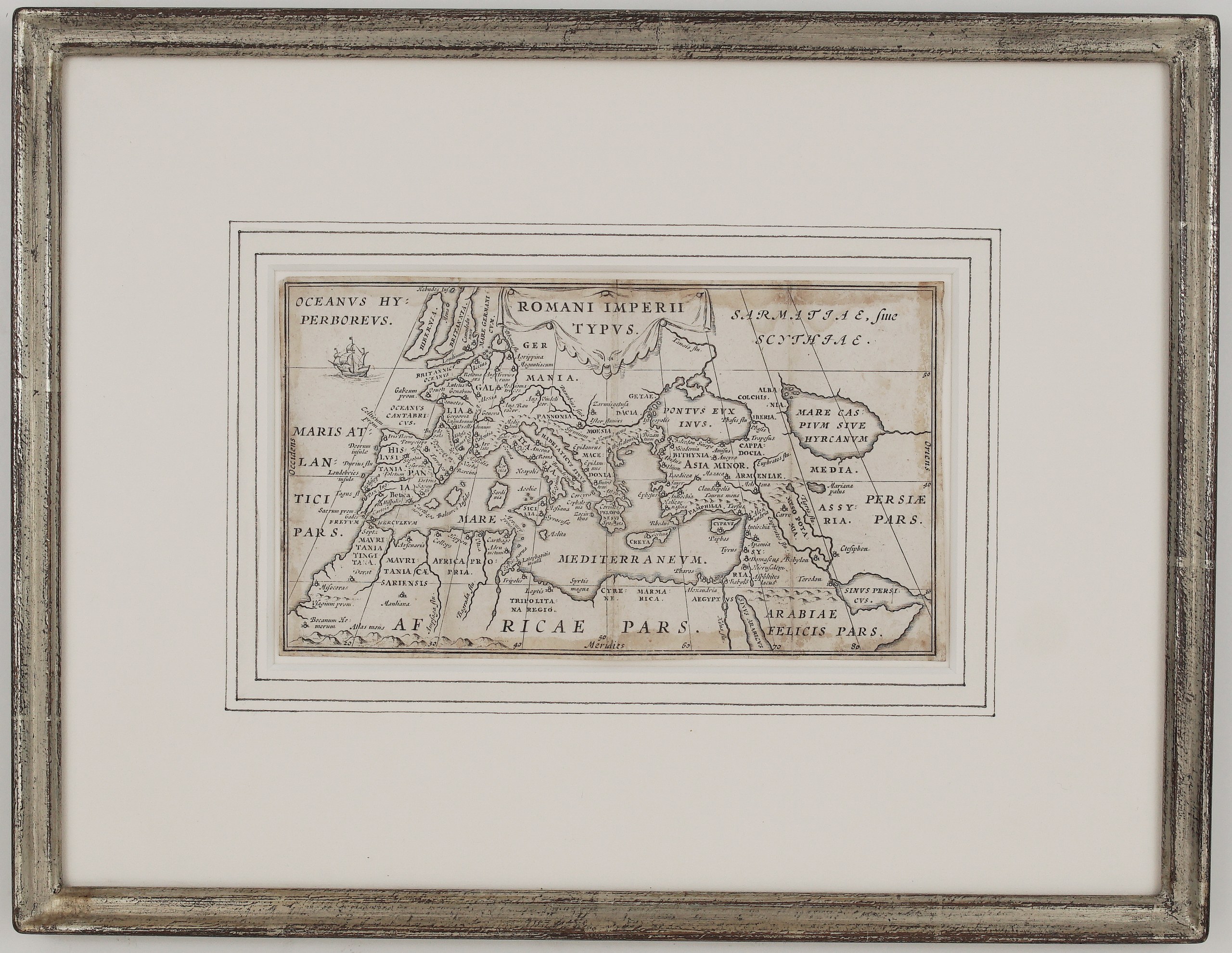
Good. The impression is clear. There is light even toning and a few small spots, and faint creases where the map was folded into the book. It is framed under glass with a white mat with drawn lines, in a silver frame.
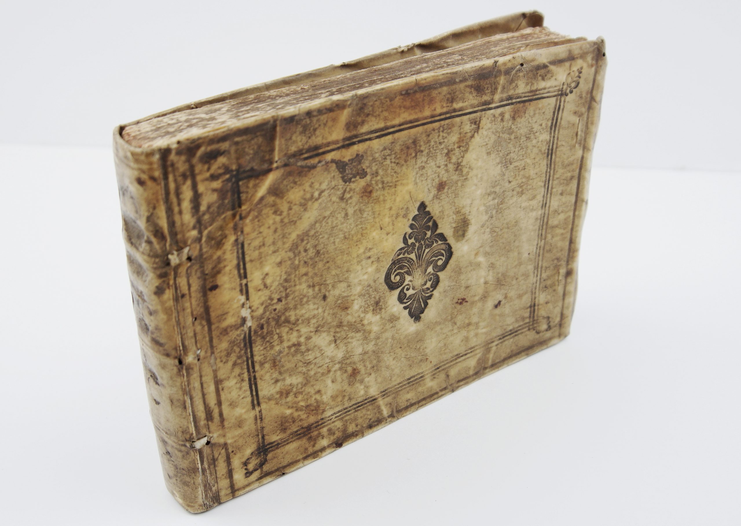
This is a ORIGINAL antique book published in 1635 and NOT a modern copy or reprint
On your request I will provide a Certificate of Authenticity
In stock