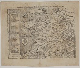
1635 – Elzevier – Typus Hispaniae Veteris
100 €
Title: Typus Hispaniae Veteris
(Map of Ancient Spain)
Description:
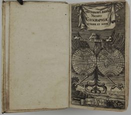
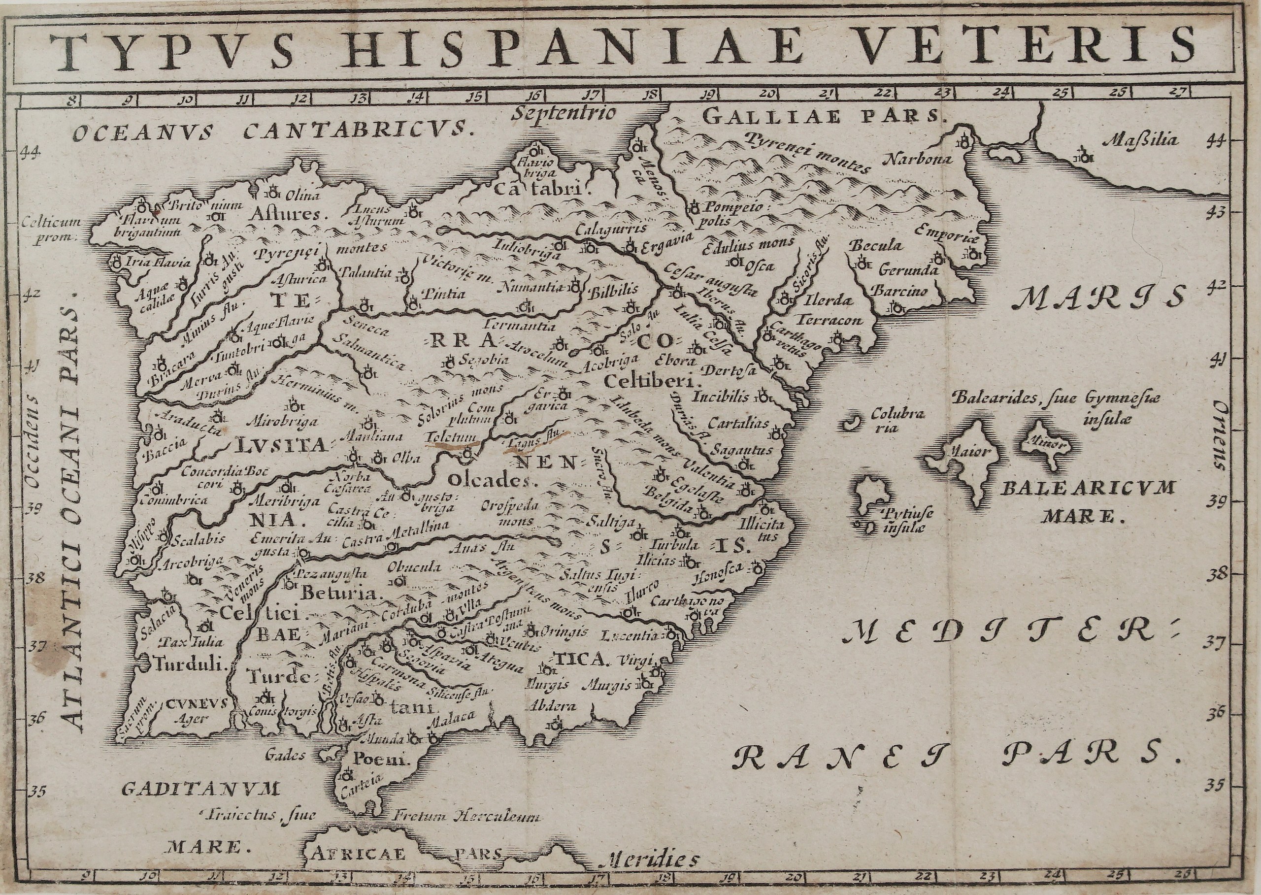
This is an original copper-engraved map of the Iberian Peninsula in Roman times. It comes from the celebrated pocket edition of Julius Caesar’s works, C. Iulii Caesaris quae extant, published by the Elzevier press in Leiden in 1635 in Joseph Scaliger’s text. The map illustrates Caesar’s campaigns in Spain in the Civil War and the Spanish War, among them his victory at Munda (45 BC), which is marked on the map.
It shows Hispania under the Romans:
- The provinces: Tarraconensis, Lusitania and Baetica.
- The peoples: the Astures, Cantabri, Celtiberi, Turdetani, Turduli and Oretani (Oleades).
- Towns:
- Northwest and north: Brigantium, Asturica, Numantia and Calagurris.
- East: Caesaraugusta (Zaragoza), Ilerda, Tarraco, Barcino (Barcelona), Saguntum and Carthago Nova.
- West: Olisippo (Lisbon) and Emerita Augusta (Mérida).
- South: Corduba, Hispalis (Seville), Gades (Cádiz), Malaca, Munda and Toletum (Toledo).
- Beyond: the Balearic Islands (Baleares sive Gymnesiae) and the Pityusae, the Pyrenees with Narbo and Massilia in Gaul, and the Strait of Gibraltar (Fretum Herculeum) with the coast of Africa.
The title runs in a band across the top, with a latitude and longitude scale around the border.
Publisher: Elzevier press (Ex officina Elzeviriana)
From: C. Iulii Caesaris quae extant, ex emendatione Ios. Scaligeri,
Frame size: 24,5 cm x 21,5 cm
City/Year: Leiden, 1635
Technique: copper engraving
Reference: Bavarian State Library copy, A.lat.b. 148
Condition:
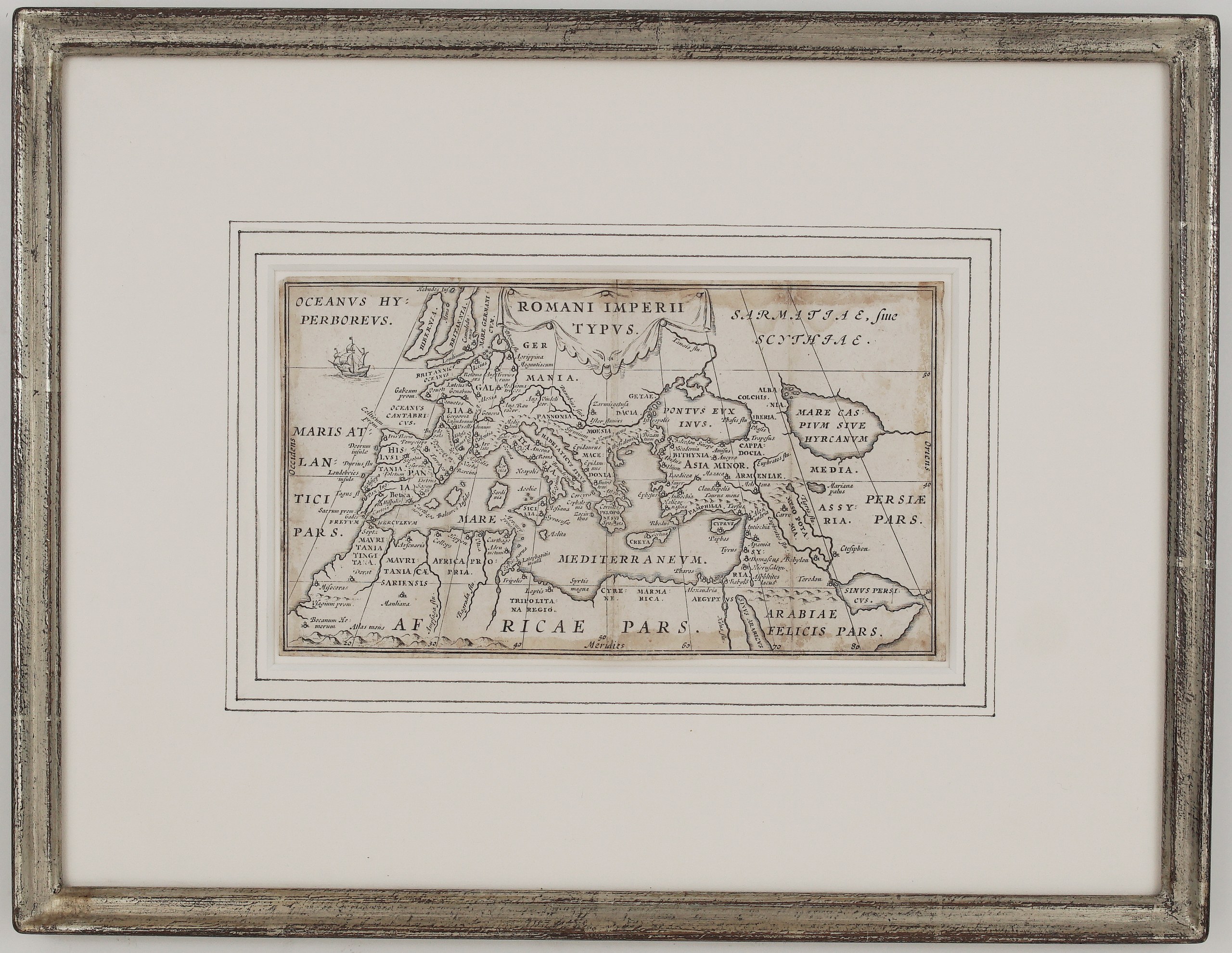
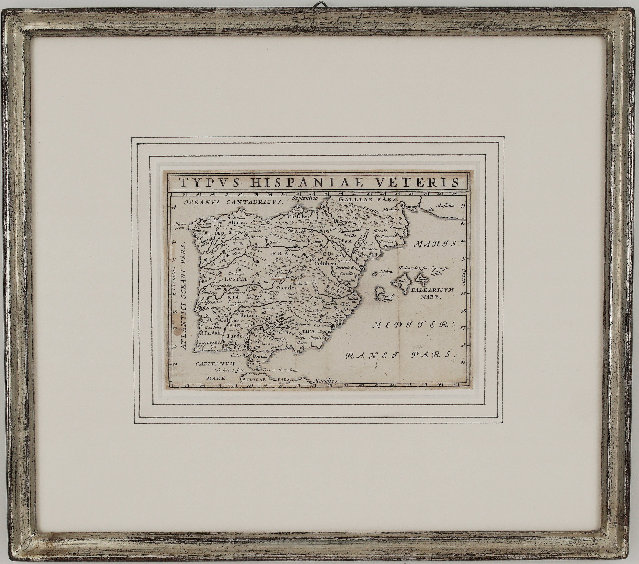
Good. The impression is clear. There is light even toning, a small brown spot near Toletum, faint marks along the old folds, and a few small spots in the margins. It is framed under glass with a white mat with drawn lines, in a silver frame matching the Roman Empire map.
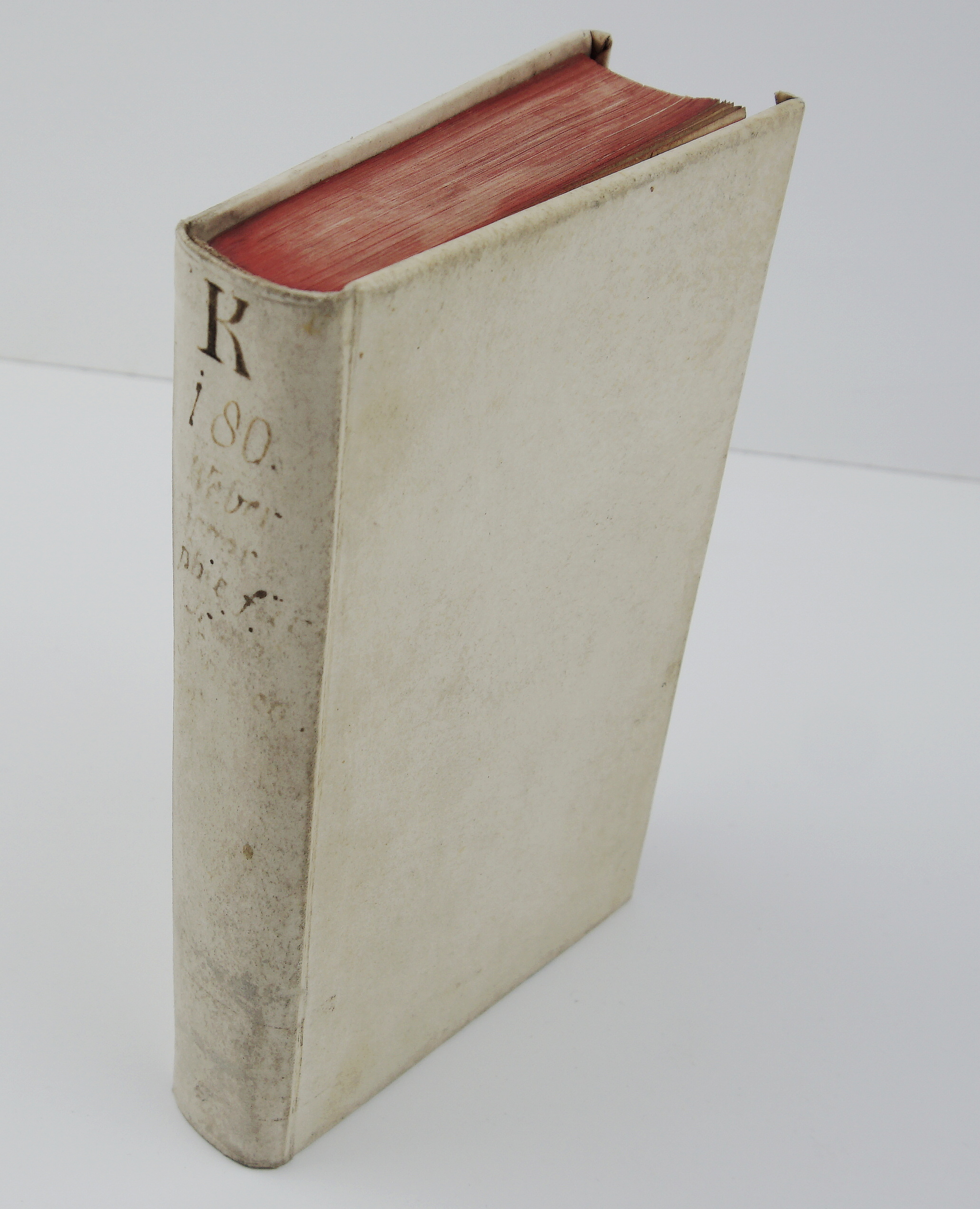
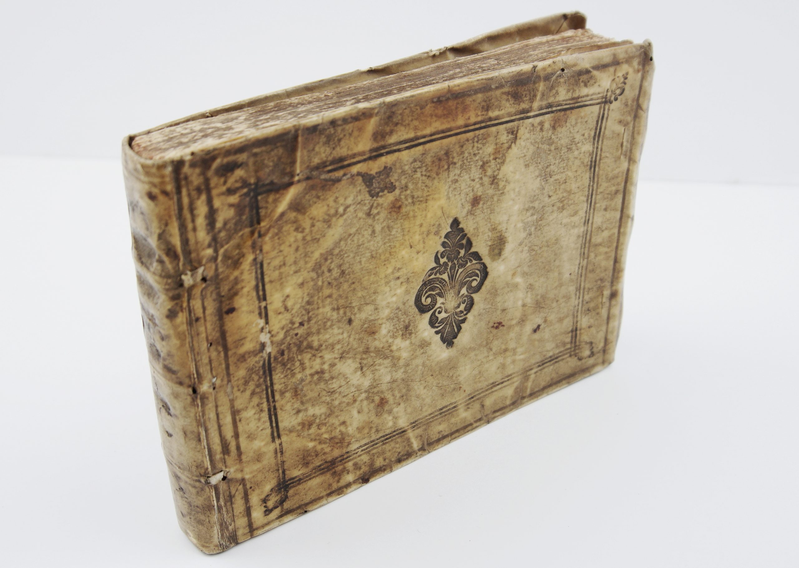
This is a ORIGINAL antique book published in 1635 and NOT a modern copy or reprint
On your request I will provide a Certificate of Authenticity
In stock