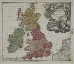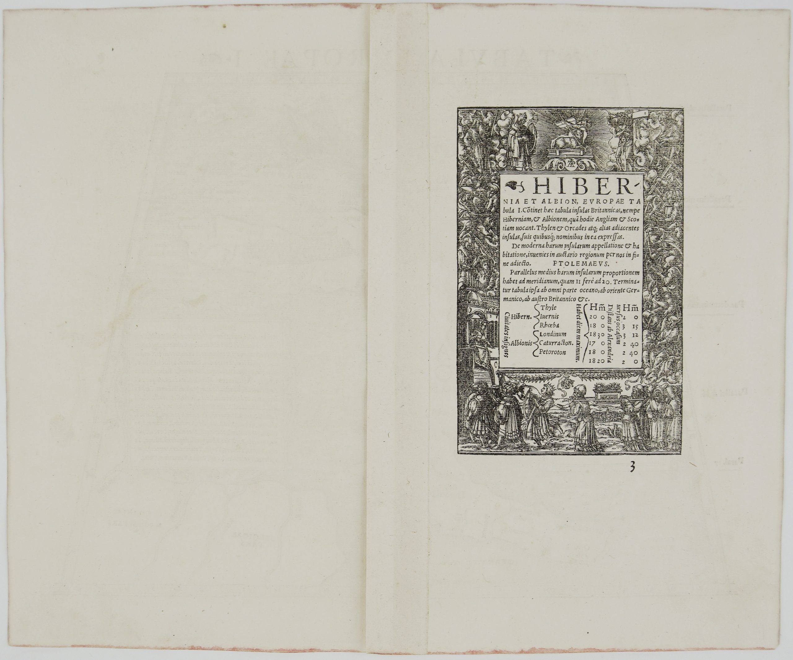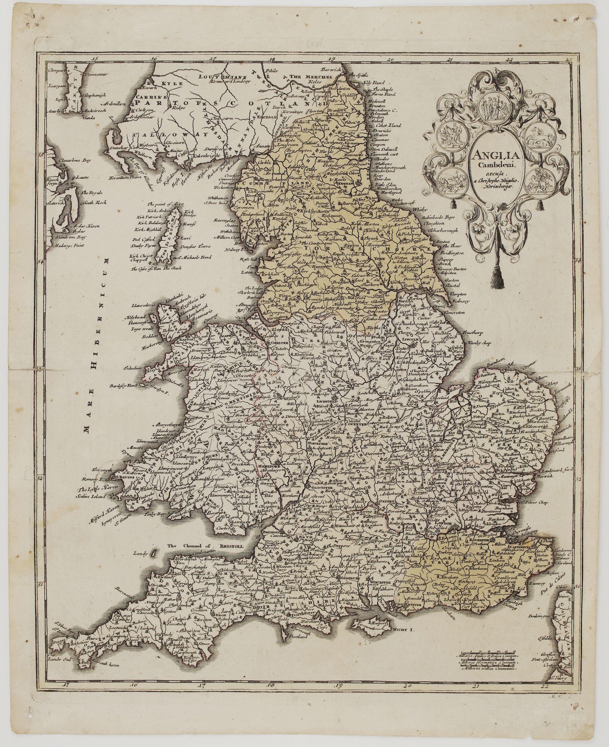
1718 – J. C. Weigel – Anglia Cambdeni
100 €
Title: “Anglia Cambdeni…”
Description:
Very detailed and decorative map of England by Christoph Weigel.
Comes from Weigel’s travel atlas “Bequemer Schul- und Reisen-Atlas” also titled “Atlas scholasticus et itinerarius“ published by Johann Ernst Adelbulner in Nuremberg 1718.
Cartographer: Johann Christoph Weigel (1654-1725)
Sheet size: 43,8 x 35,4 cm
Year: 1718
Technique: copper engraving
Condition:
Good original condition. Watermarked paper. Contemporary coloring. Right and left middle fold separations. Few marginal creases. Slight traces of foxing, browning and wear.
This is an original antique map published in 1718 and not a modern copy or reprint
On your request I will provide a Certificate of Authenticity
In stock