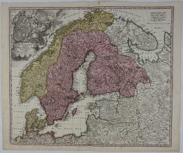
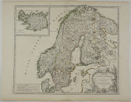
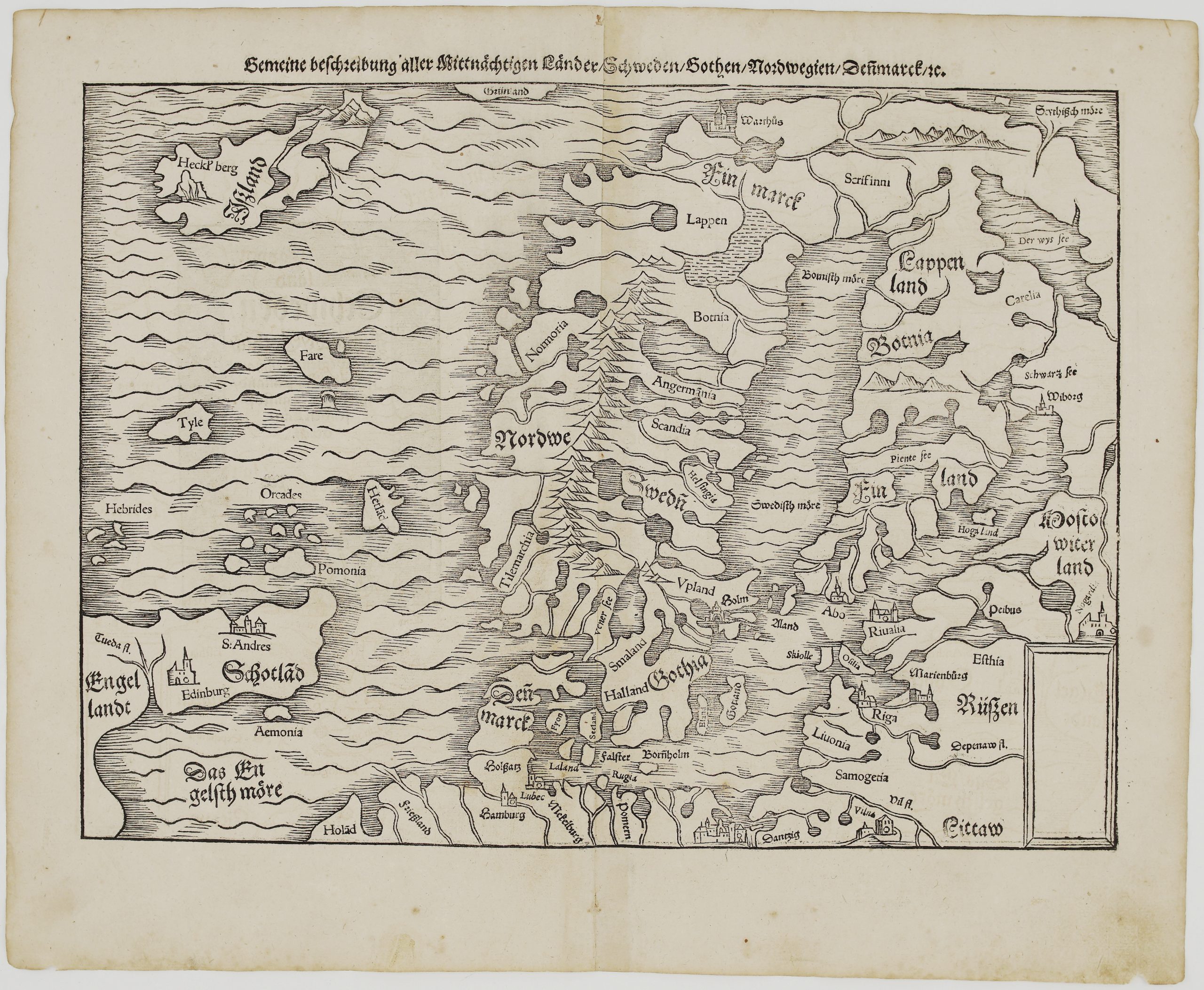
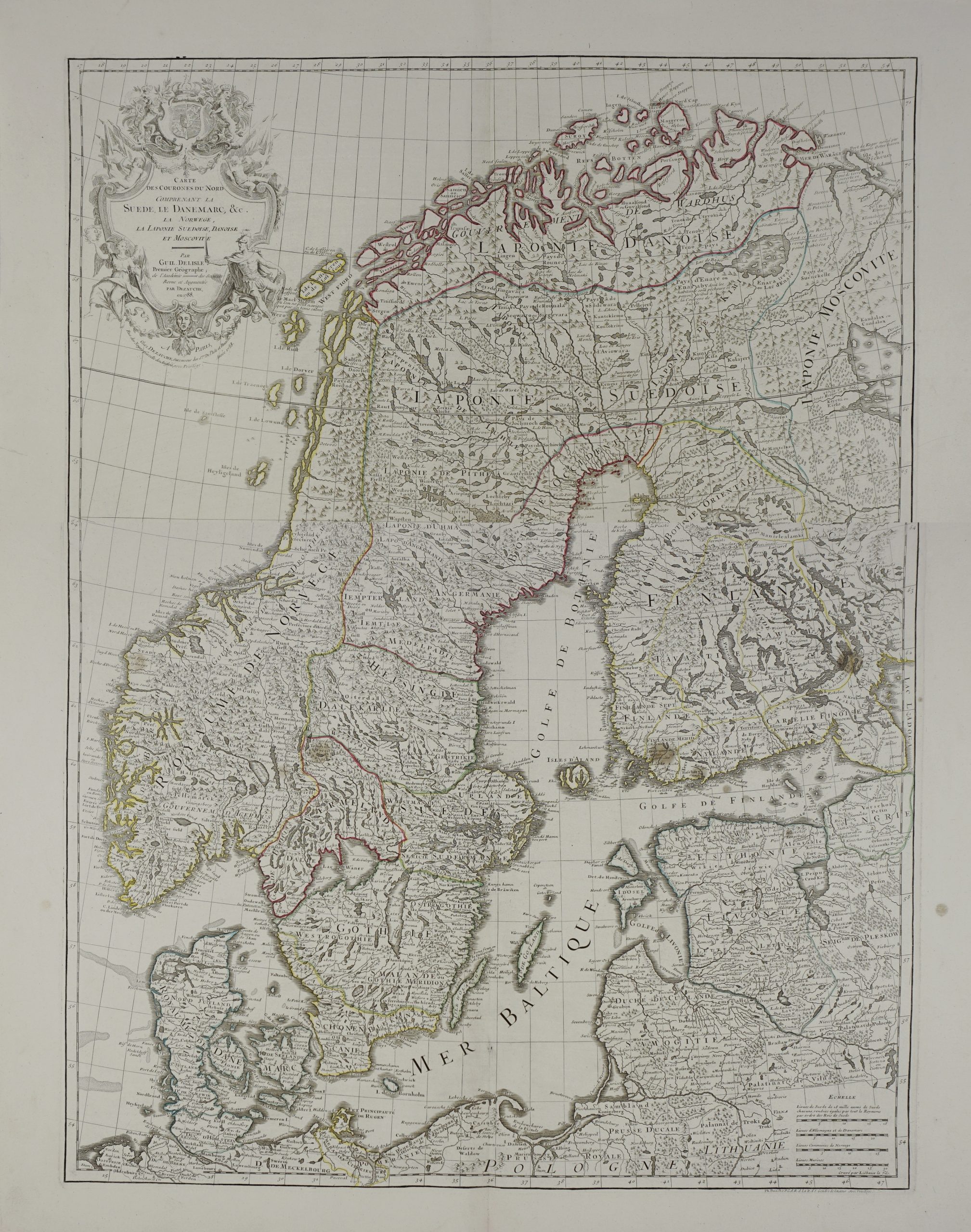
1729 – J. B. Homann – Nova Tabula Scaniae
250 €
Title: “Nova Tabula Scaniae, quae est Gothia Australis Provincias Scaniam, Hallandiam, et Blekingiam…”
Description:
Very detailed map of southern Sweden. A large inset includes the northern part of Halland with Gothenberg and Warberg. The map is richly engraved and adorned with an elaborate cartouche with the arms of Halland, Scania and Blekinge and a great scene showing a family of merfolk with a rich bounty of fish.
Map comes from Johann Baptist Homann atlas “Grosser Atlas ueber die ganze Welt“ published in Nuremberg 1729.
Cartographer: Johann Baptist Homann (1664-1724)
Sheet size: 62,5 x 53,3 cm
Year: 1729
Technique: copper engraving
Condition:
Good condition, original hand coloring. Few light waterstaines and marginal splits present.
This is an original antique map published in 1729 and NOT a modern copy or reprint
On your request I will provide a Certificate of Authenticity
In stock