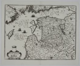
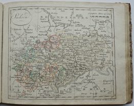
1747 – H. Homann – Curlandiae Semgalliae
150 €
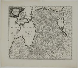
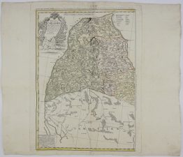
Title: “Per Illustribus, Generosissimis Magnificis & Excellentissimis Dominis, Dominis Ducatuum Curlandiae & Semgalliae…1747”
Description:
Very detailed and decorative map of Latvia by Homann Heirs’s, based on the work of the German engineer Johann Christoph Barnikel. The original design was created by the theologian Adolph Grot, who drew an initial map after a journey through Courland year 1718–1725.
Comes from Homan’s atlas “Grosser Atlas ueber die ganze Welt…” published in Nürnberg, 1747.
Cartographer: Johann Baptist Homann (1664-1724)
Sheet size: 53,2 x 61,0 cm
Year: 1747
Technique: copper engraving
Condition:
Reasonable condition. Contemporary coloring. Watermarked paper. Few water stains and marginal splits present. Left margin added.
This is an original antique map published in 1747 and not a modern copy or reprint
On your request I will provide a Certificate of Authenticity
In stock