1756 – Le Rouge – Haute Saxe
30 €
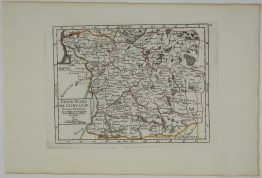
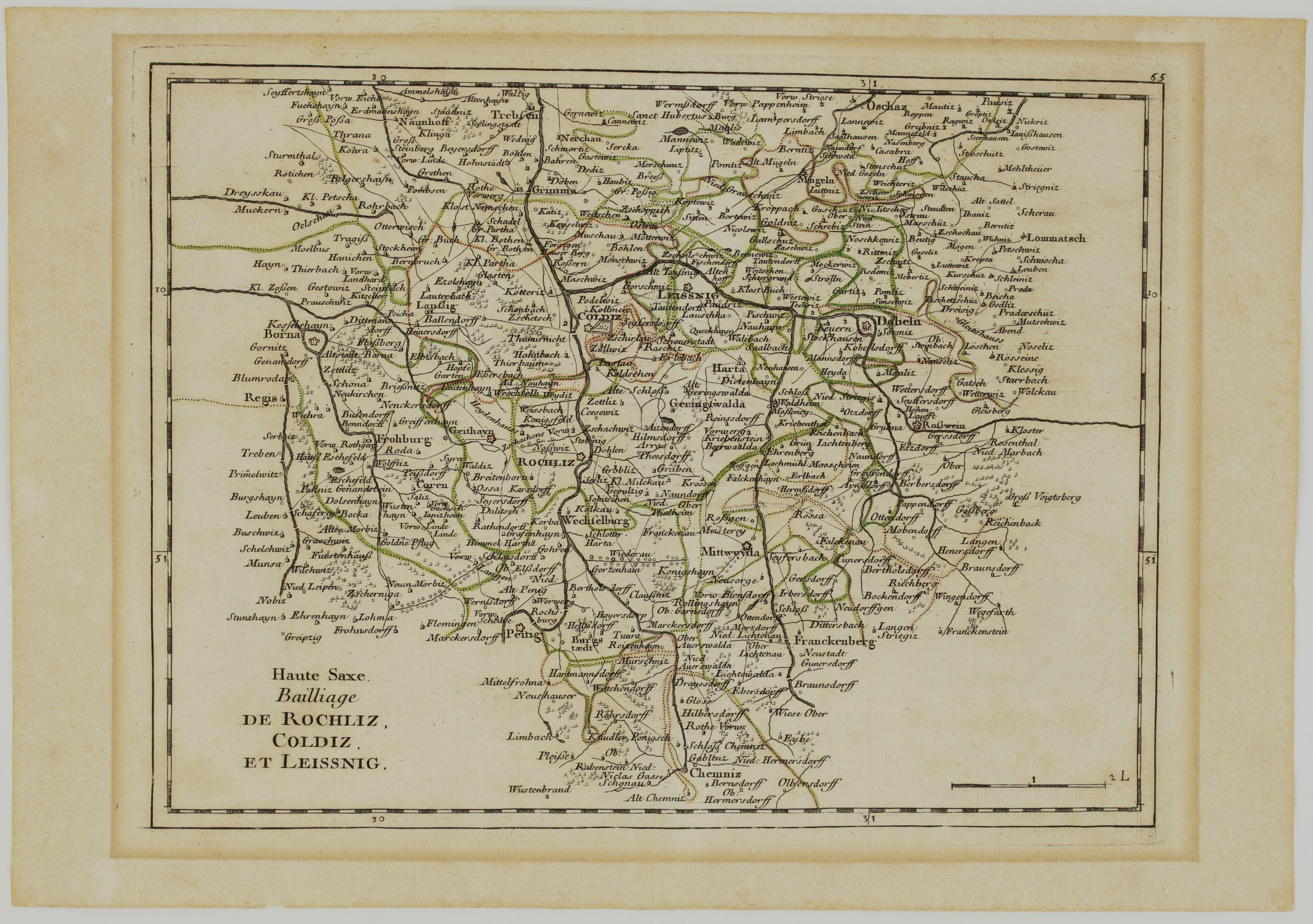
Title: “Haute Saxe. Bailliage de Rochliz, Coldiz, et Leissnig.”
Description:
Very detailed map showing the area between Trebsen, Borna, Penig, Chemnitz, Dobeln and Oschaz, Germany.
Comes from Le Rouge atlas “Atlas Nouveau Portatif” issued in Paris, 1756.
Cartographer: Georges-Louis Le Rouge (1712 – 1790)
Sheet size: 24,2 x 35,0 cm
Year: 1756
Technique: copper engraving
Condition:
Very good condition! Strong press on watermarked paper, contemporary outline coloring, wide margins.
This is an original antique map published in 1756 and NOT a modern copy or reprint
On your request I will provide a Certificate of Authenticity
In stock