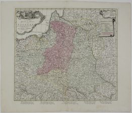
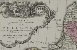
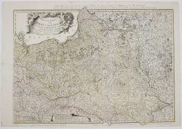
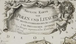
1772 – G. A. R. Zannoni – Podlakie et de la Mazovie
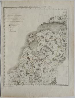
Title: “Xięstwo Biskupstwo Warmińskie, Część Południowa Woiewodztwa Trockiego, y Pruss Brandenburskich, Część Połnocna Podlasia y Mazowsza” & “Eveché de Varmie partie Meriodionale du Palatinat de Troki et de la Prusse Brandebourgeoise, la Partie Septentrionale de la Podlakie et de la Mazovie”
Description:
This is extremely rare and most detailed XVIII century map of the region of Warmia, southern part of the Trakai Palatinate and Brandenburg Prussia, northern part of Podlaskie Voivodeship and Mazovia, present-day territories of Poland.
The map comes from the atlas of the 24th sheet map set of the Republic of Poland which was prepared by Rizzi- Zannoni and created by the prince Józef Jozymowski. This work lasted nearly 20 years with the participation of many cartographers. It is the first and most detailed, large-scale map of Poland before the partitions of 1772, 1793, and 1795 and shows the territories of present-day Poland, Lithuania, Belarus and western parts of Russia.
Cartographer: Giovanni Antonio Rizzi Zannoni (1736 – 1814)
Publisher: Józef Aleksander Jabłonowski (1711-1777)
Engravers: J. Perrier (1760-1824)
Gaspard André (175.-18..)
J. Arrivet (1764-1786)
Nicolas Chalmandrier (1756-1789)
Pierre Bourgoin
Atlas size: 67,8 x 49,8 cm
Year: 1772
Technique: copper engraving
Condition:
Very good condition. Contemporary hand coloring. Watermarked paper.
This is an original antique map published in 1772 and NOT a modern copy or reprint
On your request we will provide a Certificate of Authenticity.