1774 – J. B. L. Clouet – Carte D’Amerique
650 €
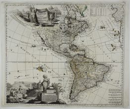
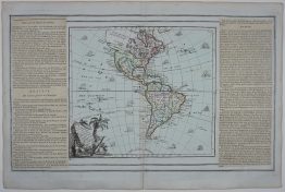
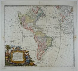
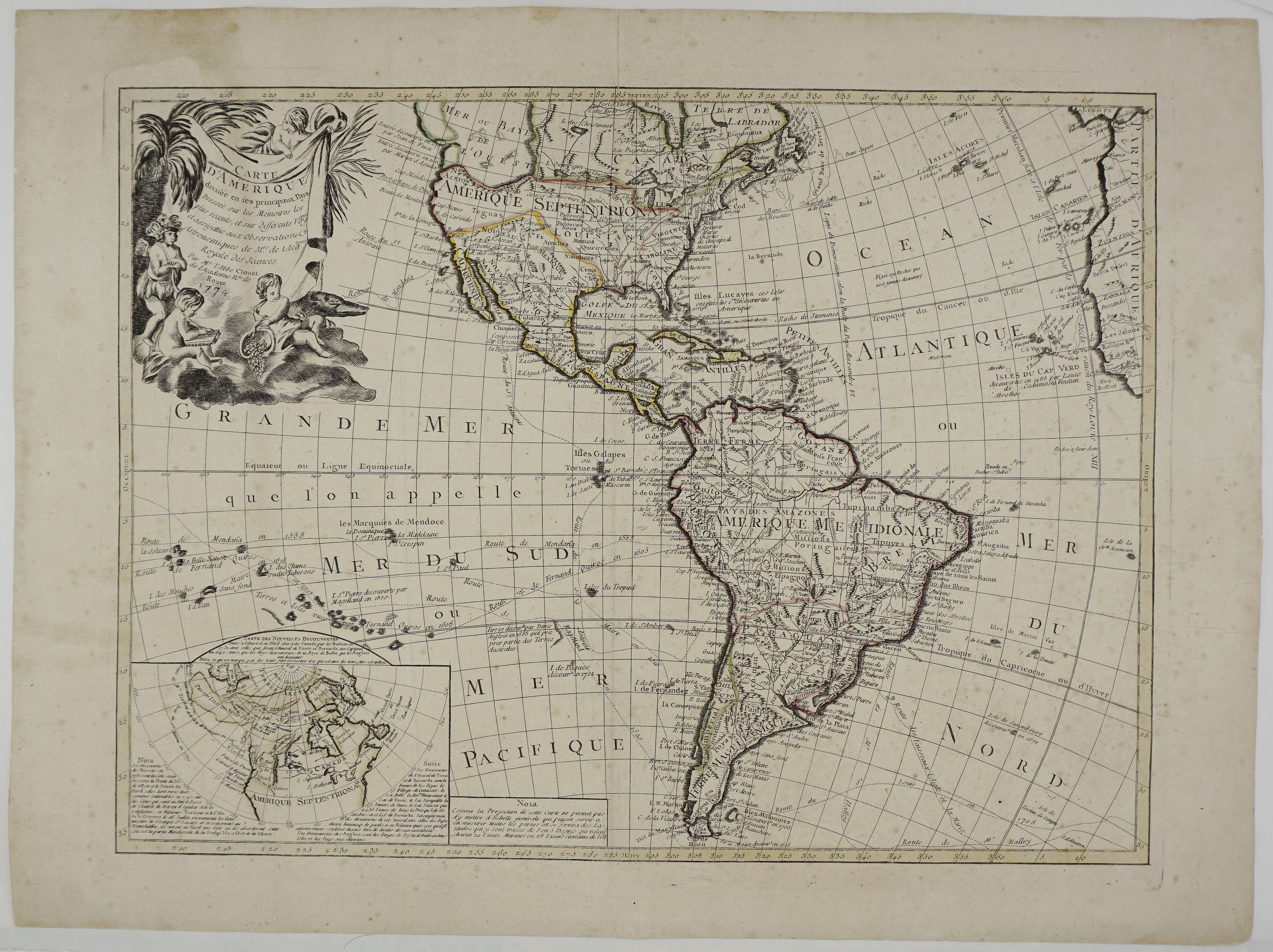
Title: “Carte D’Amérique divisée en ses principaux Pays, Dressée sur les Mémoires les plus recents, et sur differents Voyages et assujettie aux Observations Astronomiques de Mrs. de l’Académie Royale des Sciences.”
Description:
Beautiful and decorative oversized map of the western hemisphere with all the major tracks of early explorers as Quiros, Mendana, Le Maire, Cook, Fourneaux, Magellan and Antoine. A huge Mer ou Baye de l’Ouest dominates the northwest coast, but a tentative coastline also reflects the Russian discoveries in the region. An inset map indicates a Northwest Passage based on the supposed voyage of the apocryphal Admiral de Fonte. Clouet’s oversized maps are rare on the market. Map dated 1774.
Cartographer: Jean Baptiste Louis Clouet (1729 – 1790)
Sheet size: 56,5 x 75,9 cm
Year: 1774
Technique: copper engraving
Condition:
Good condition. Original contemporary coloring. Paper with original watermark.
This is a genuine antique map published in 1774 and NOT a modern copy or reprint
On your request I will provide a Certificate of Authenticity
In stock