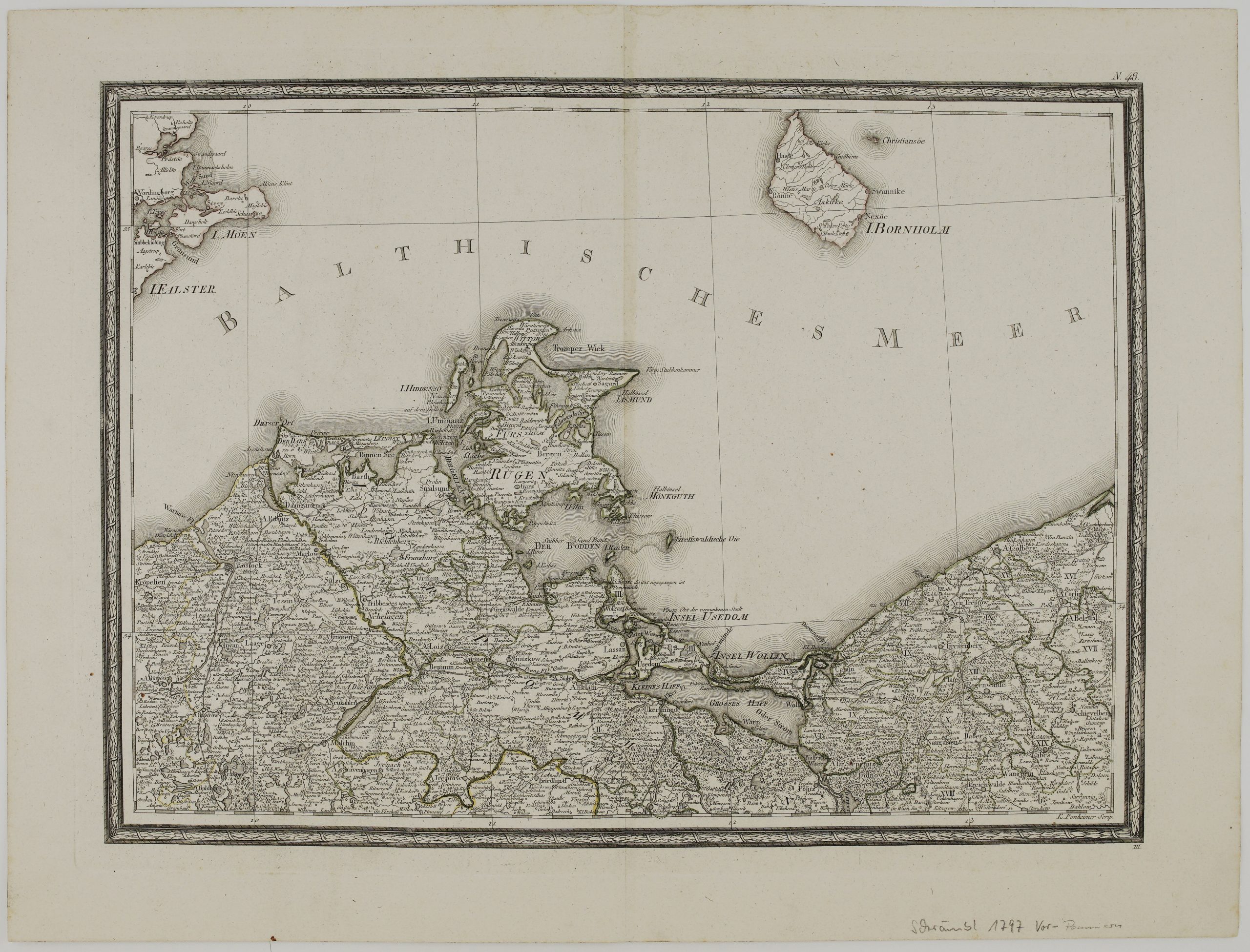
1797 – F. A. Schrämbl – Pommern N.48
Title: “N.48.”
Description:
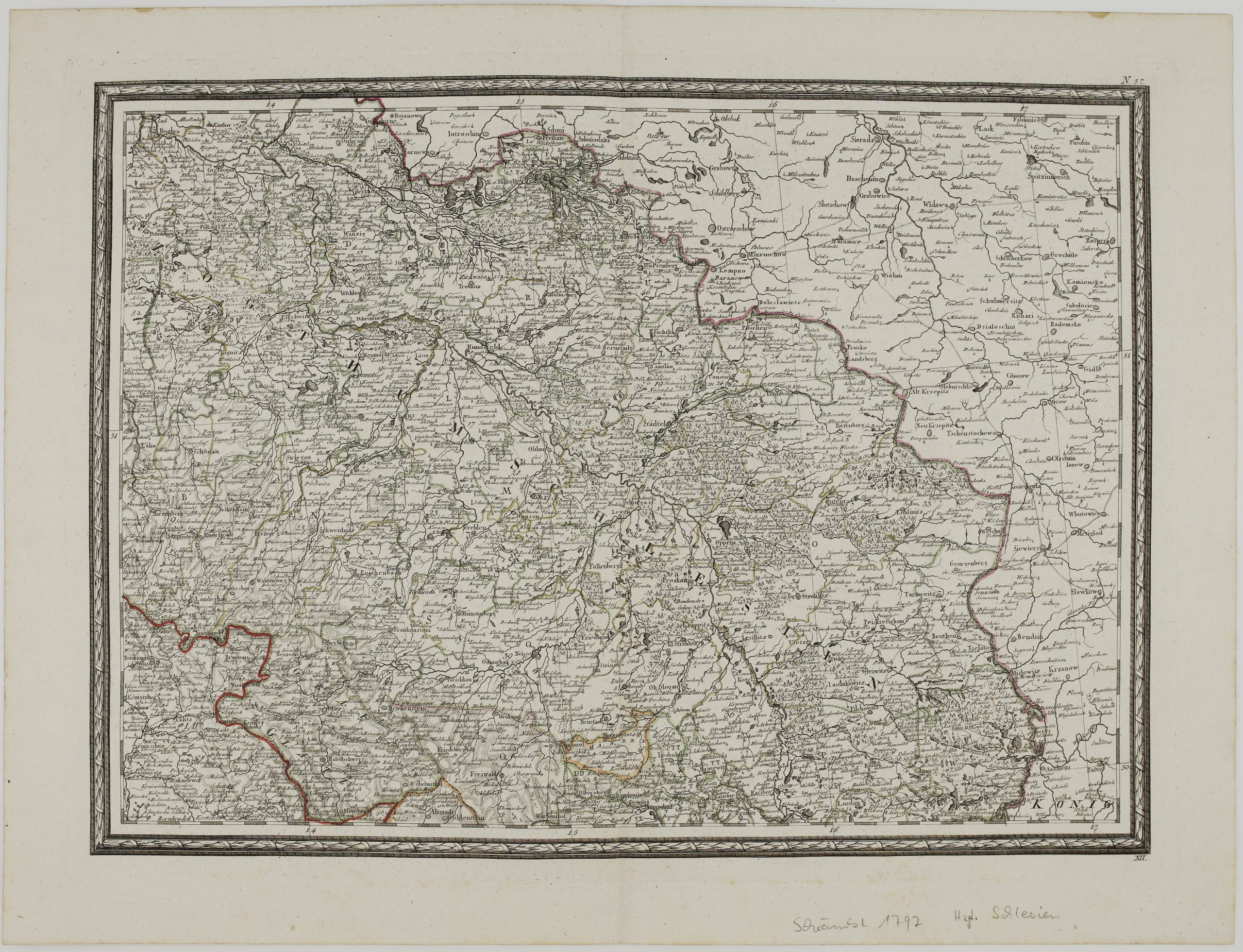
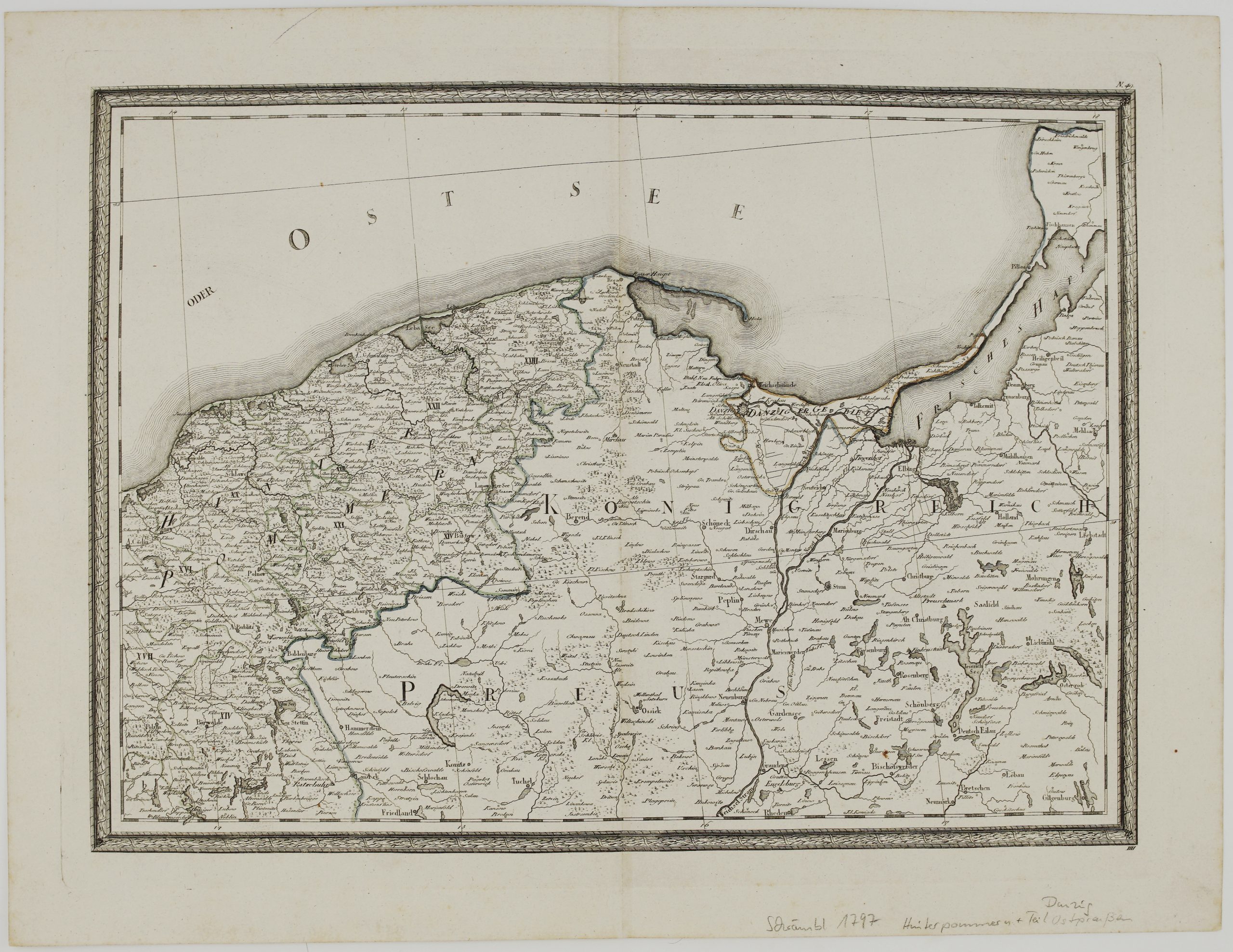
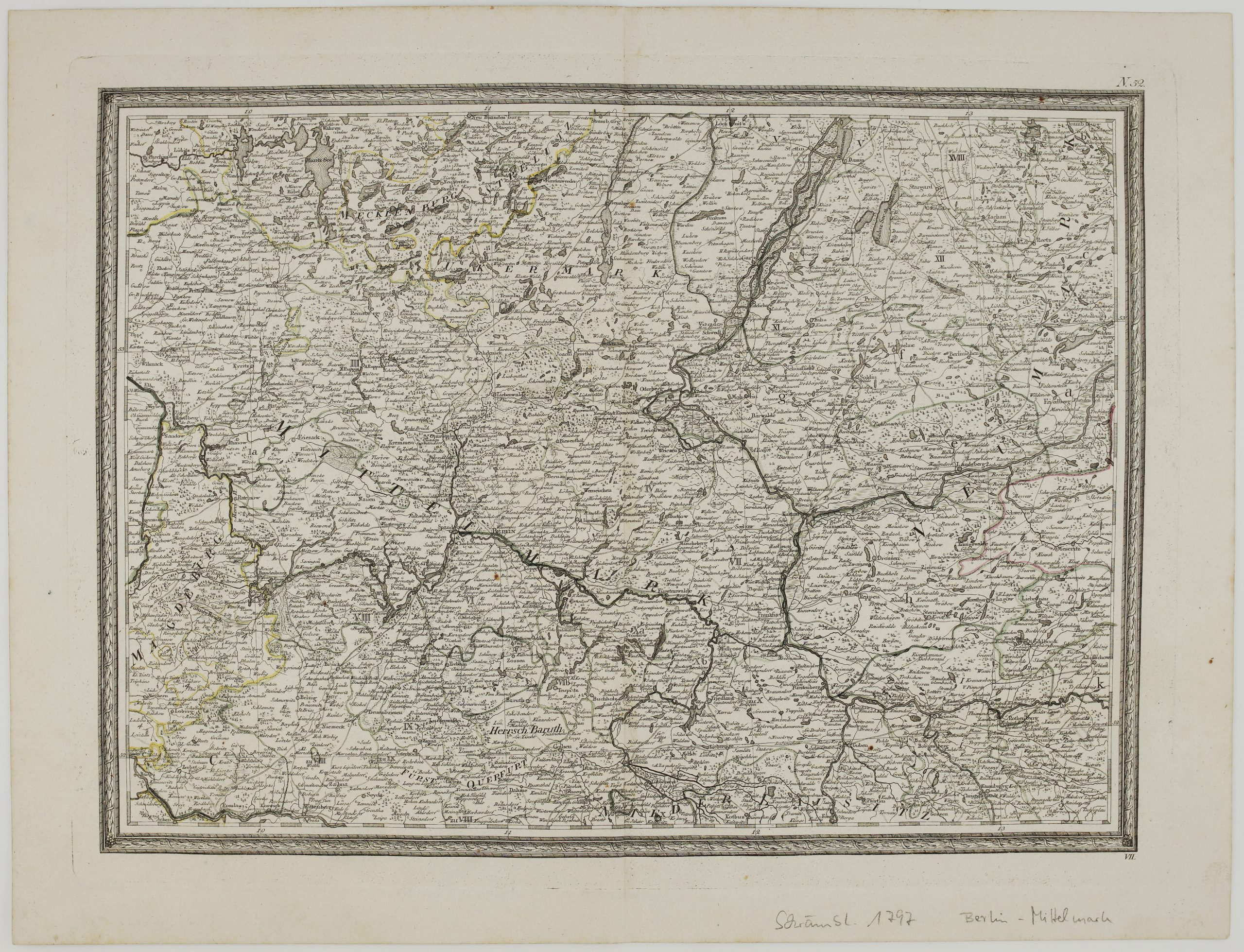
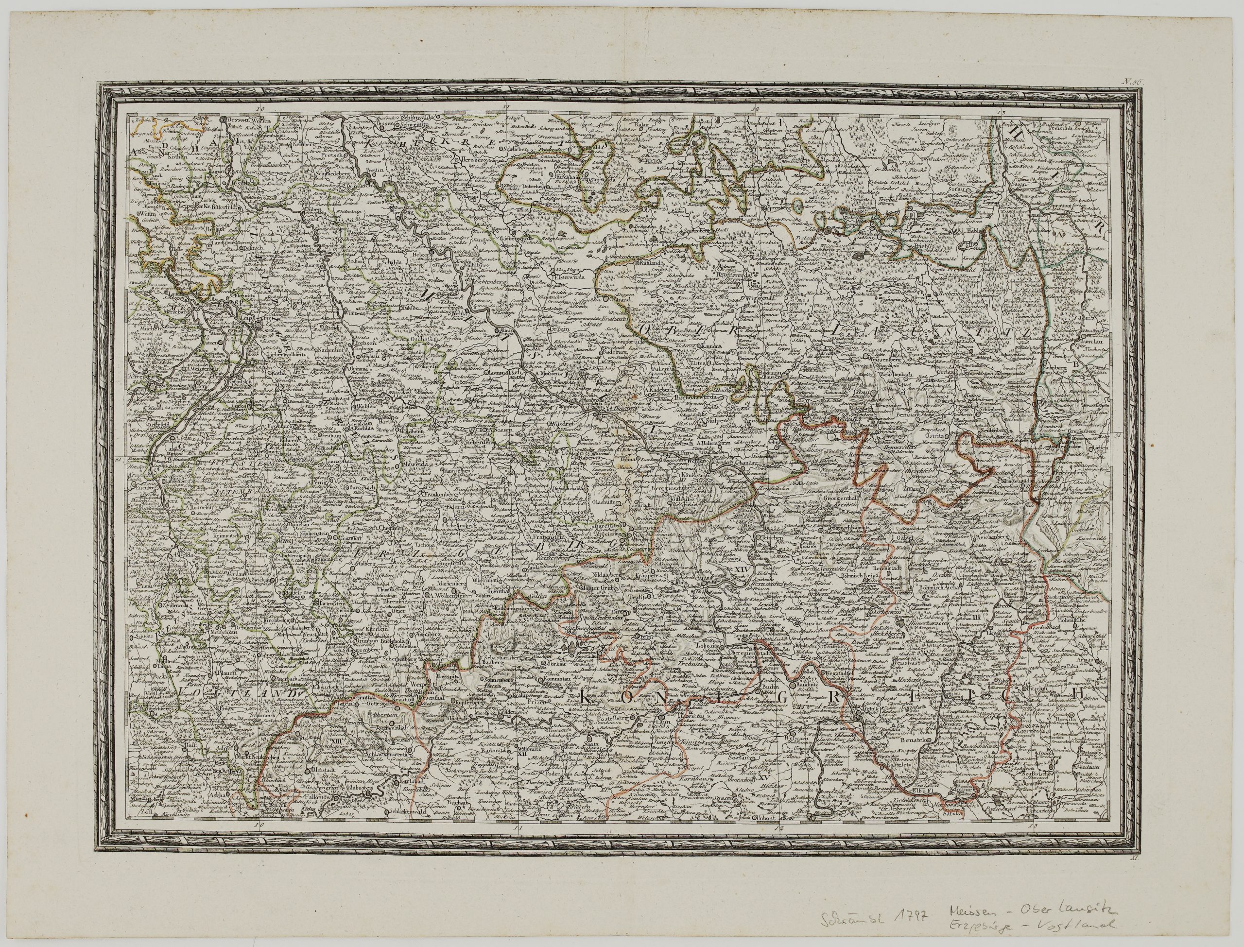
Very detailed antique map showing the Baltic coast with Western Pomerania, Rügen, Germany and the Danish island of Bornholm.
The map comes from Franz Anton Schrämbl atlas “Allgemeiner Grosser Schrämblischer Atlas…”, engraved by Kilian Ponheimer, published in Vienna, 1797.
Cartographer: Franz Anton Schrämbl (1751 – 1803)
Sheet size: 63,2 x 48,0 cm
Year: 1797
Technique: copper engraving
Condition:
Very good condition. Watermarked paper. Original hand colored.
This is an original antique map published in 1797 and NOT a modern copy or reprint
On your request I will provide a Certificate of Authenticity