1860 – Bibliographisches Institut – Riga
40 €
Title: RIGA
Description:
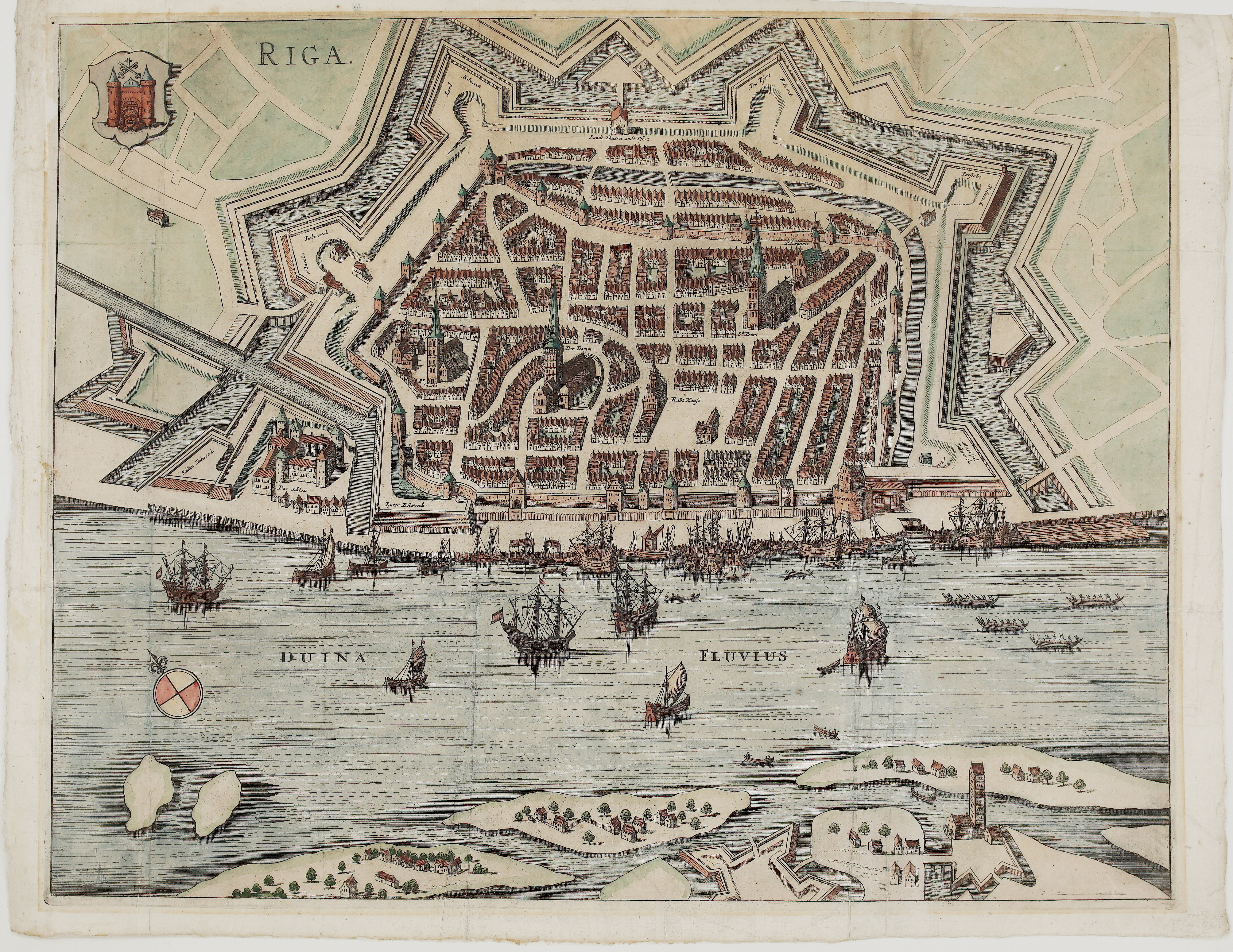
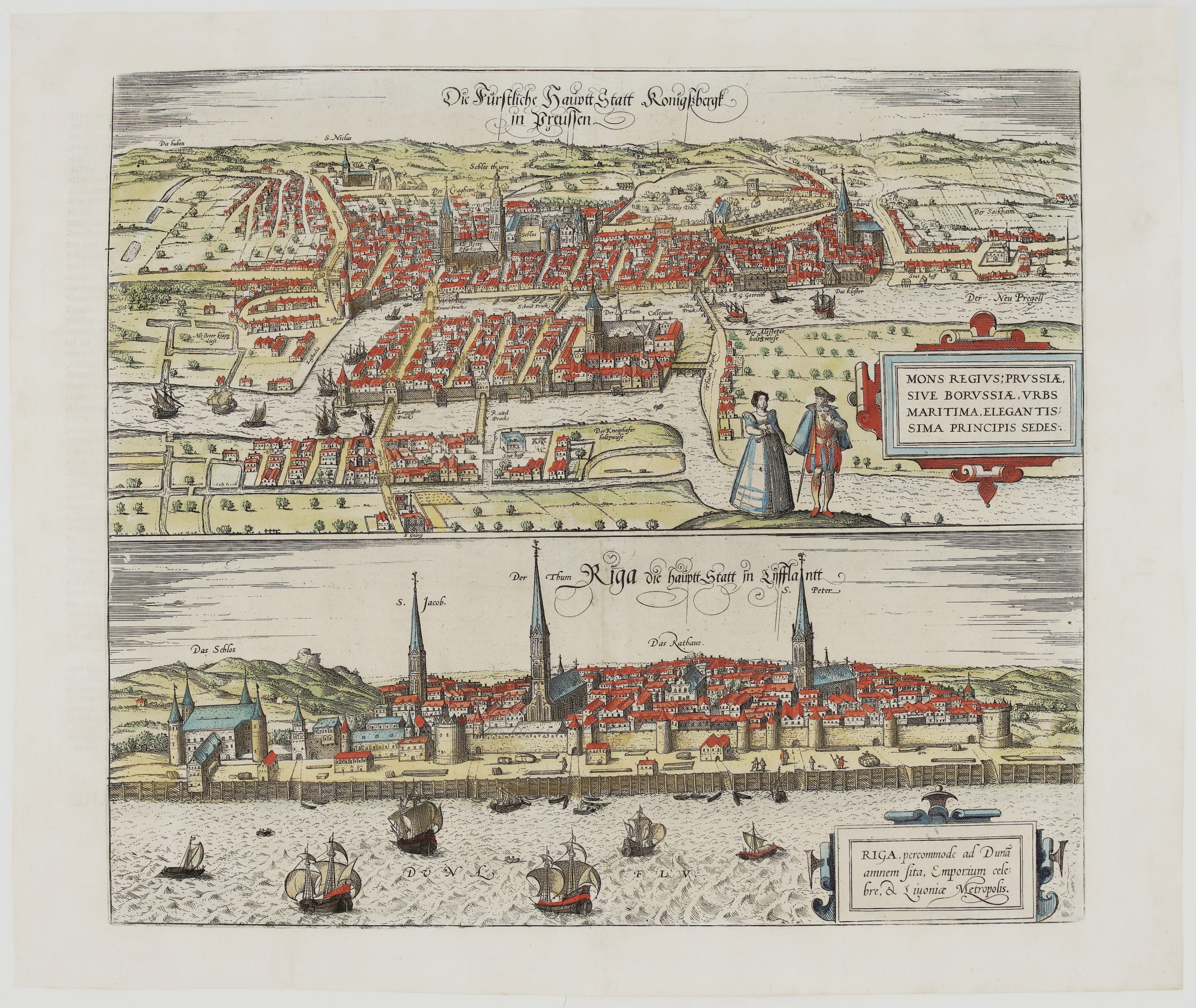
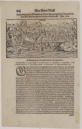
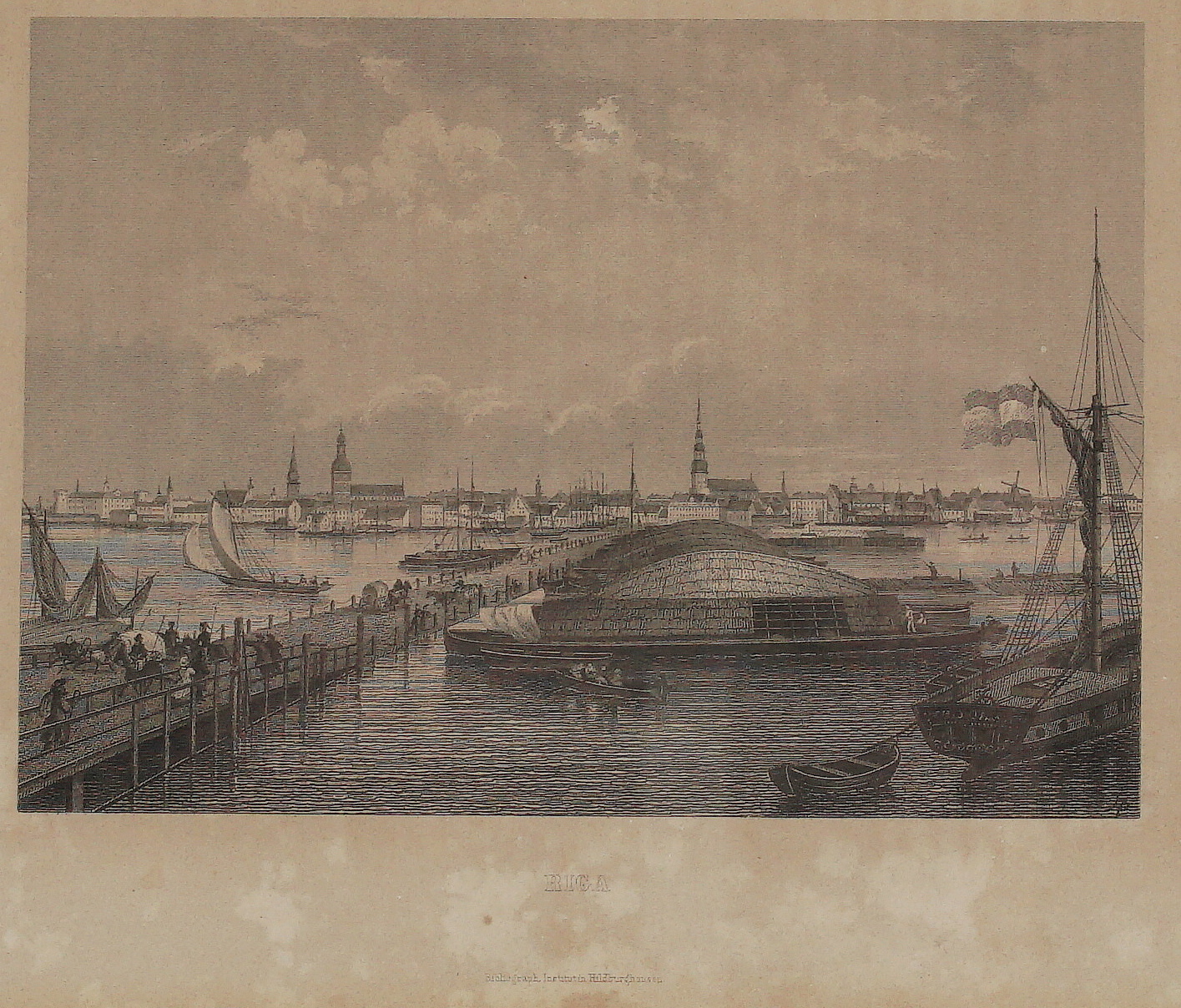
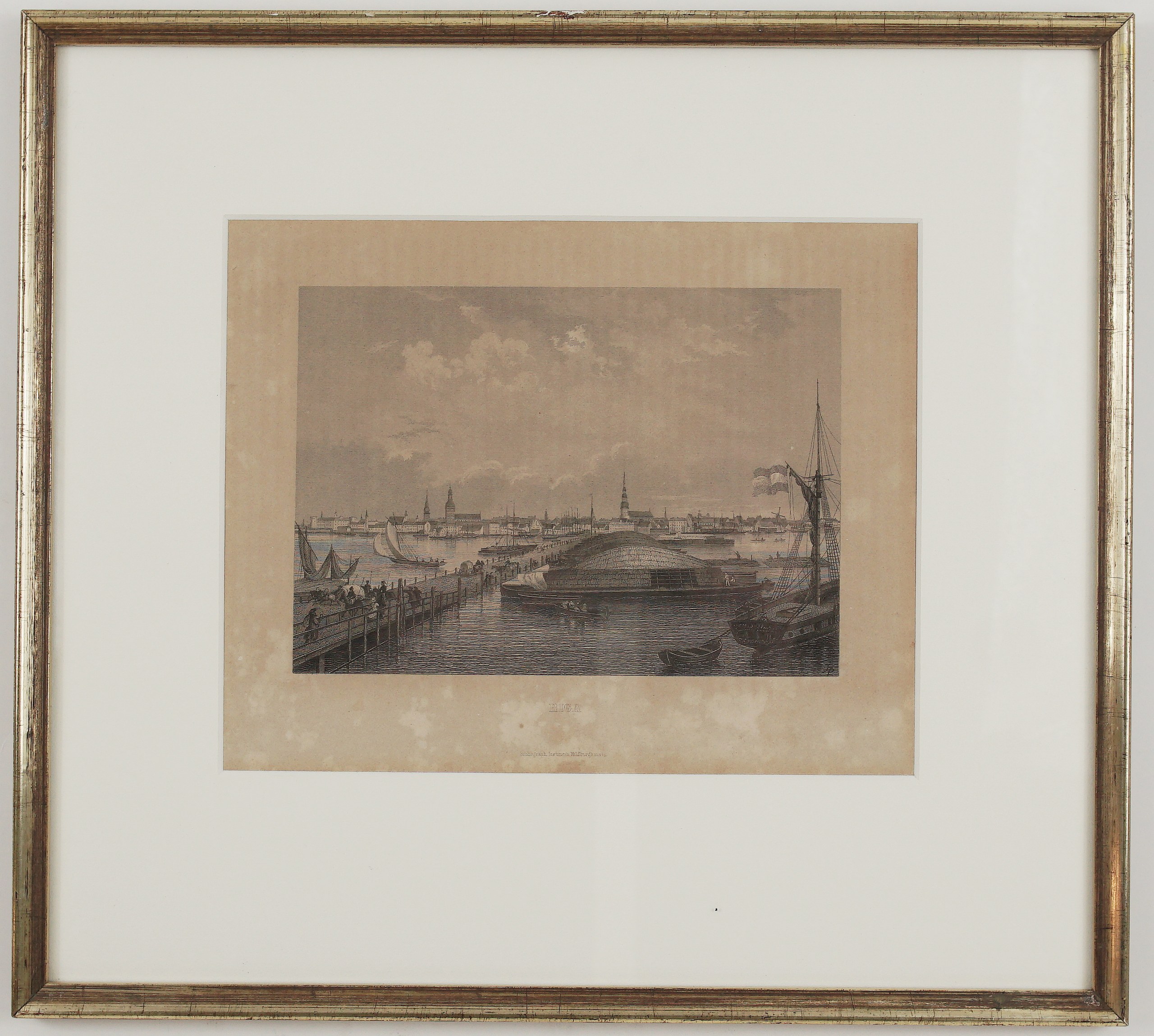
This finely detailed steel engraving of Riga, then the capital of the Russian Governorate of Livonia, was published by the Bibliographisches Institut of Joseph Meyer in Hildburghausen.
The view is taken from the long wooden floating bridge across the Daugava, which for almost two centuries was the city’s only link with the left bank. Carts, riders and passers-by crowd the bridge. Beside it lie a huge river barge piled high with goods and a sailing ship flying its flag, with rowing boats and sailing vessels on the wide river.
On the far bank stretches the skyline of Riga:
- the Castle at the left;
- the spires of St James and the Cathedral;
- the tall tower of St Peter;
- warehouses, a windmill and a forest of masts along the quays.
It is an evocative picture of Riga as one of the great trading ports of the Russian Empire in the mid-19th century.
Cartographer/Artist: Bibliographisches Institut (Joseph Meyer), engraving workshop
Publisher: Bibliographisches Institut, Hildburghausen
Atlas: a Bibliographisches Institut (Meyer) publication
Frame size: 32,0 x 29,0 cm
Year: 1860
Technique: Steel engraving
Reference: cf. Bibliographisches Institut, Hildburghausen, steel-engraved city views (Museum Viadrina, V/K2 548)
Condition:
Good. Fine, detailed impression. The paper is toned, with foxing and damp staining mainly in the lower margin around the title, outside the image. It is framed under a white mount in a silver-gilt frame, behind glass.
This is an original antique map published in 1860 and NOT a modern copy or reprint
On your request we will provide a Certificate of Authenticity
In stock