c. 1730 – H. Moll – Map of Europe
800 €
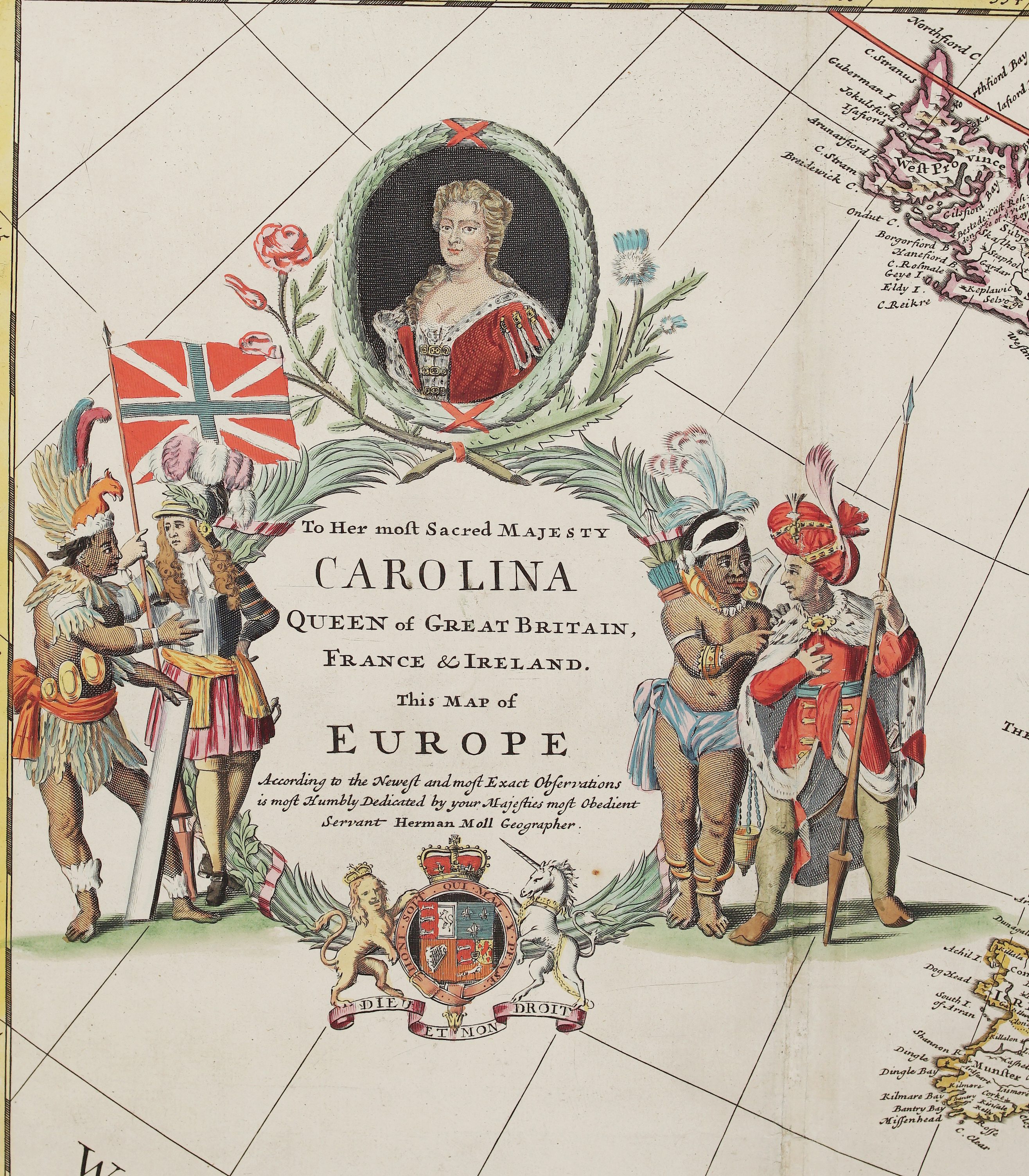
Title: “To Her most Sacred Majesty Carolina Queen of Great Britain, France & Ireland. This Map of Europe According to the Newest and most Exact Observations is most Humbly Dedicated by your Majesties most Obedient Servant Herman Moll Geographer.”
&
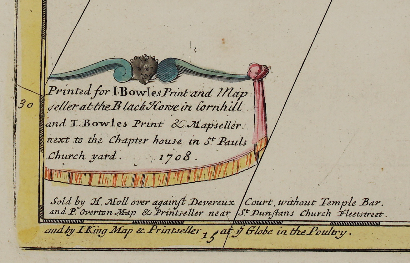
“Printed for I. Bowles Print and Map seller at the Black Horse in Cornhill and T. Bowles Print & Mapseller next to the Chapter house in St. Pauls Church yard. 1708. Sold by H. Moll over against Devereux Court, without Temple Bar, and P. Overton Map & Printseller near St. Dunstans Church Fleetstreet, and by I. King Map & Printseller at ye Globe in the Poultry.”
Description:
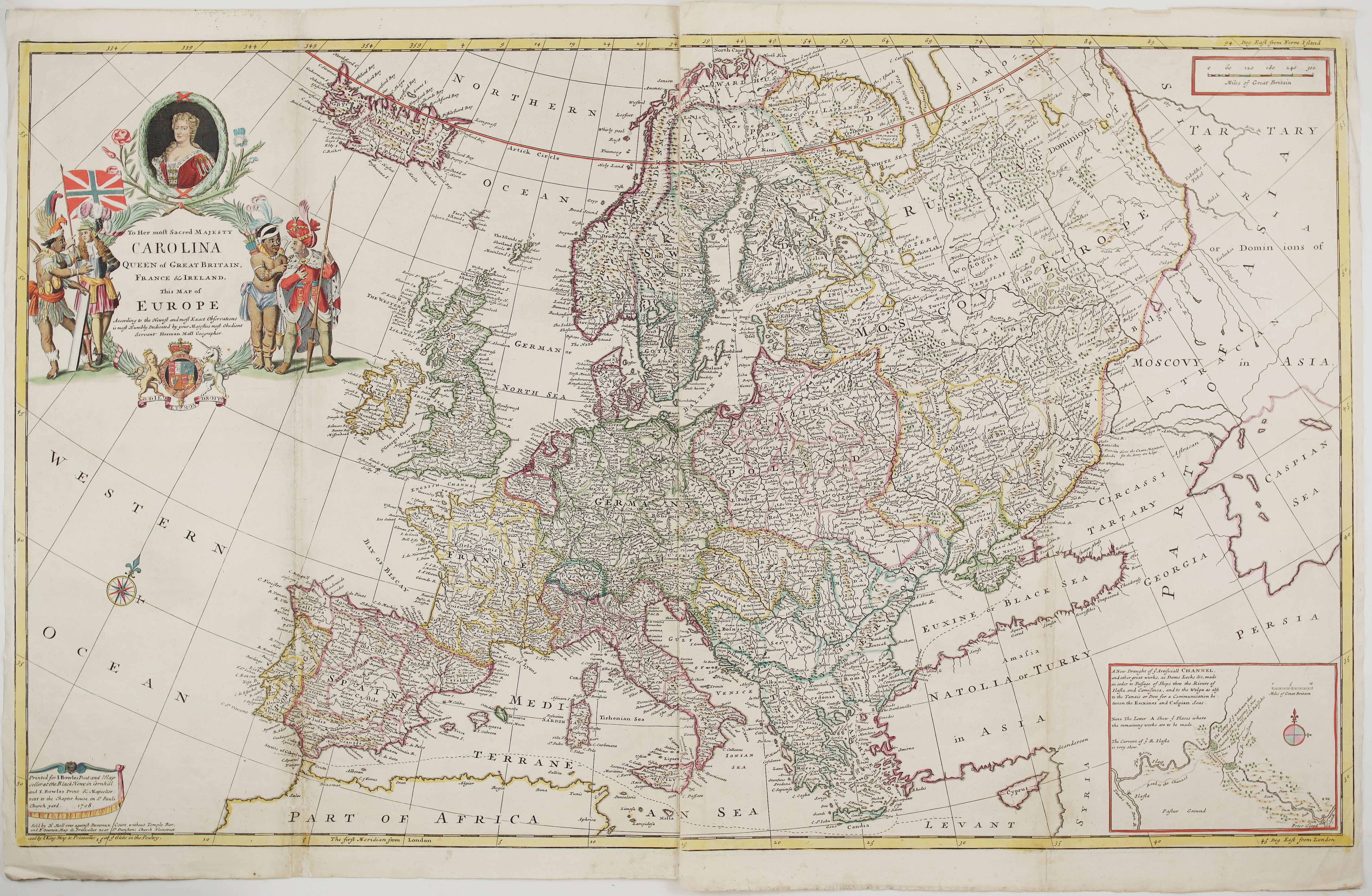
A monumental two-sheet map of Europe by Herman Moll, the leading map-maker of early 18th-century London, from his great folio atlas “The World Described”. The plate was first published in 1708 with a dedication to Queen Anne. After 1727 it was revised with a new portrait and a dedication to Queen Caroline, wife of George II. This is that later state, published while Caroline was queen (1727–1737).
The cartouche is one of the most theatrical of its time:
- The Queen: her portrait sits in a laurel wreath between the English rose and the Scottish thistle, above the dedication to “Her most Sacred Majesty Carolina, Queen of Great Britain, France & Ireland”.
- The four continents: on the left, a feather-crowned Native American (America) beside a European carrying the Union flag (Europe). On the right, an African (Africa) and a turbaned figure in an ermine-lined robe (Asia).
- The royal arms: at the bottom, the arms of George II supported by the lion and the unicorn, with the mottoes “Honi soit qui mal y pense” and “Dieu et mon droit”.
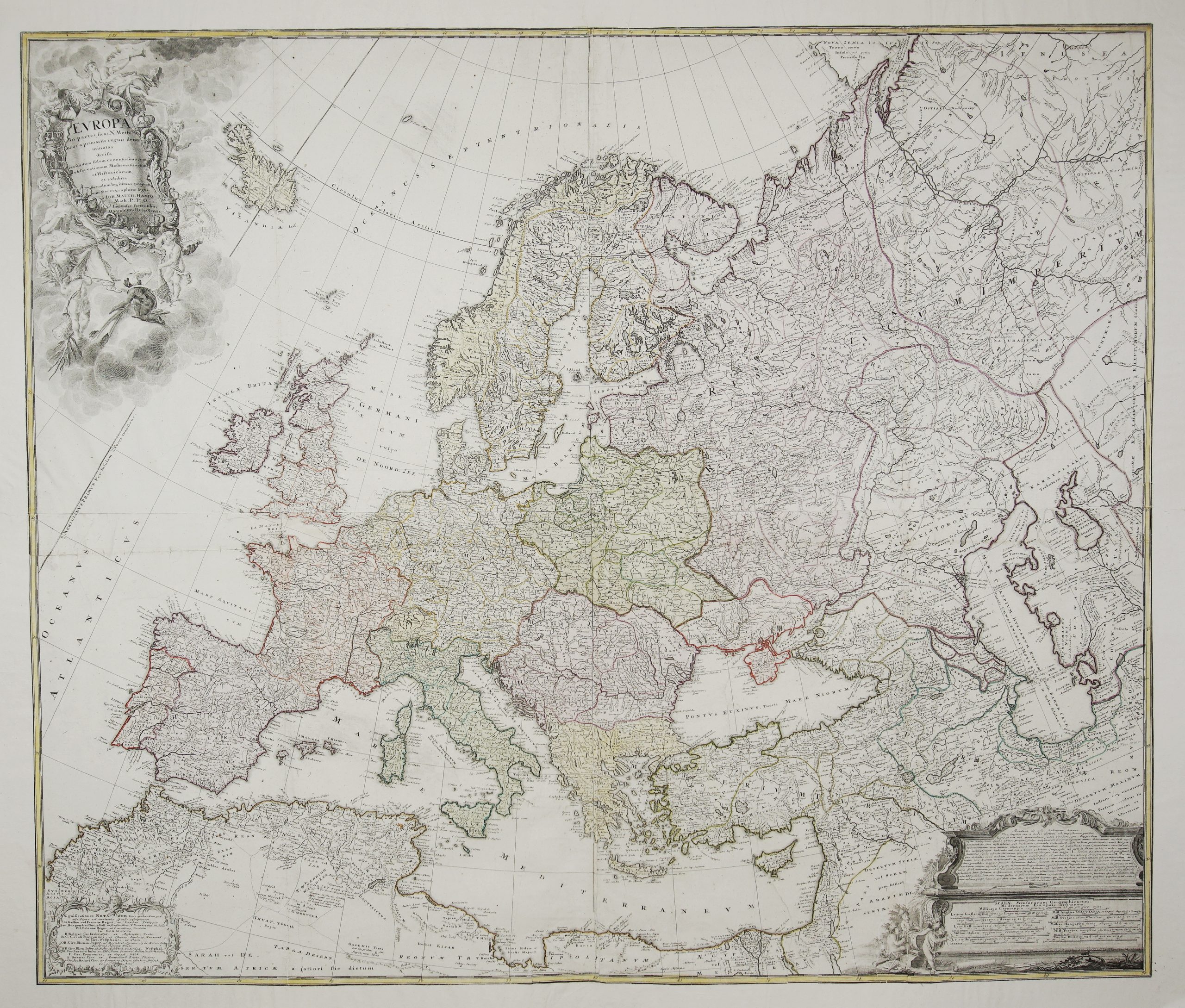
The map covers Europe from Iceland and the North Cape to the coast of North Africa, and from the Atlantic to the Caspian Sea, Persia and “Siberia or Dominions of Tartary”. Russia is divided into “Moscovy in Europe” and “Moscovy in Asia”. The map is densely filled with towns and rivers, with political borders in colour. Longitudes are given from both Ferro (El Hierro) and London, and a scale shows “Miles of Great Britain”. The large Polish-Lithuanian Commonwealth is shown in detail.
The inset at lower right is titled “A New Draught of ye Artificiall Channel, and other great works, as Dams, Locks &c. made in order to Passage of Ships thro the Rivers of Ilafla and Camisinca, and to the Wolga as also to the Tanais or Don for a Communication between the Euxines and Caspian Seas”. It shows Peter the Great’s project to join the Volga and the Don, on which the English engineer John Perry worked. A dotted line on the main map continues the dreamed-of route from the canal through the Black Sea, the Bosphorus, the Aegean and the Mediterranean to the Atlantic.
A large, decorative and historically rich map of Europe, and a fine example of English map-making at the height of Moll’s career.
Cartographer: Herman Moll (1654 – 1732)
Publisher: John & Thomas Bowles, Herman Moll, Philip Overton and John King
Leaf size: 98,0 x 63,5 cm (if two sheets joined)
Year: c. 1730 (plate dated 1708)
Technique: copper engraving
Condition:
Good condition. Strong impression with old folds restored (few small losses present). Two separate sheets, possible to join. Light toning and minor spotting; light wear to the edges.
This is an original antique map published circa 1726 and NOT a modern copy or reprint
On your request I will provide a Certificate of Authenticity
In stock