
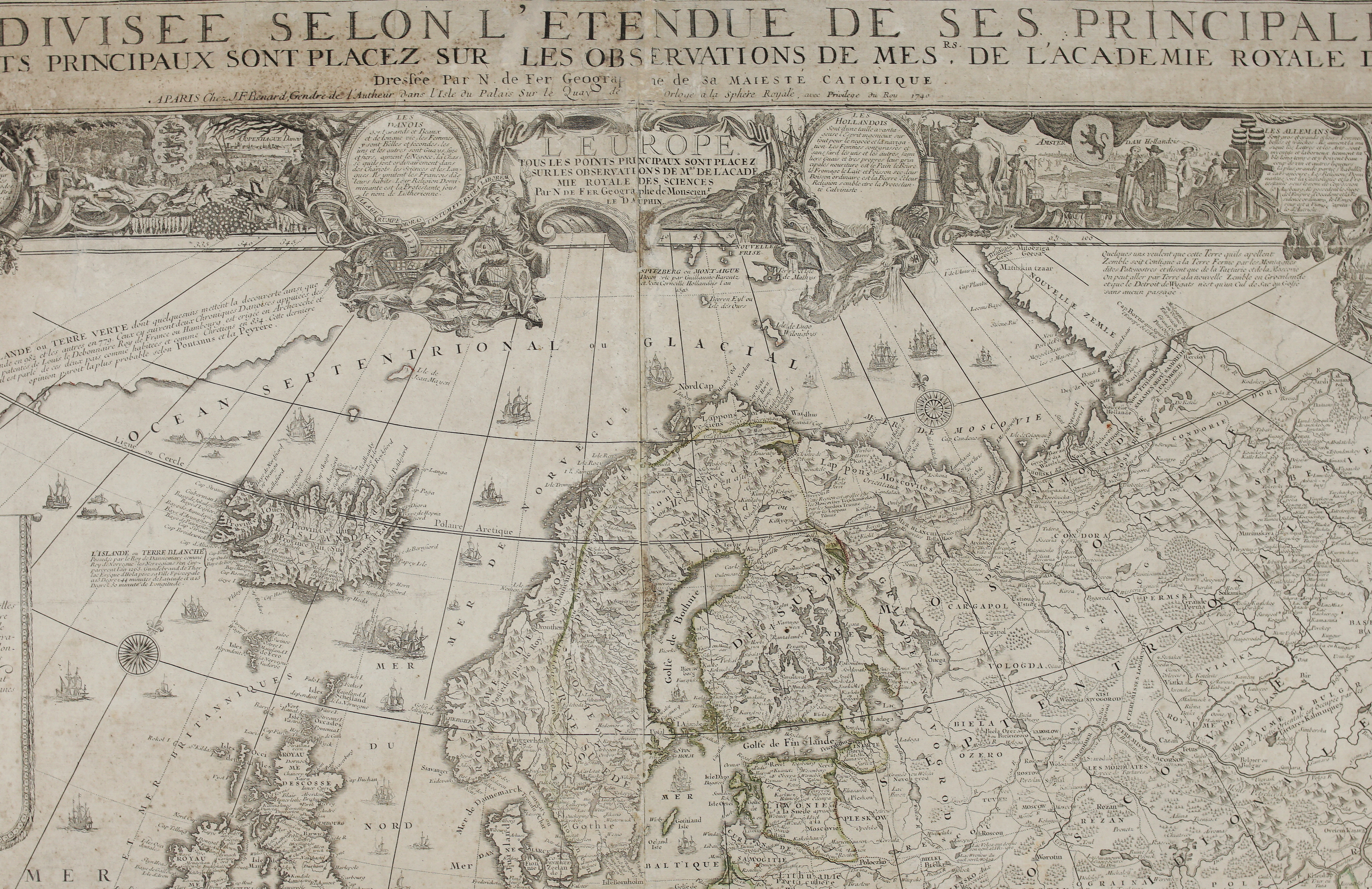
1740 – J. F. Benard – L’Europe
6,800 €
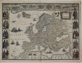
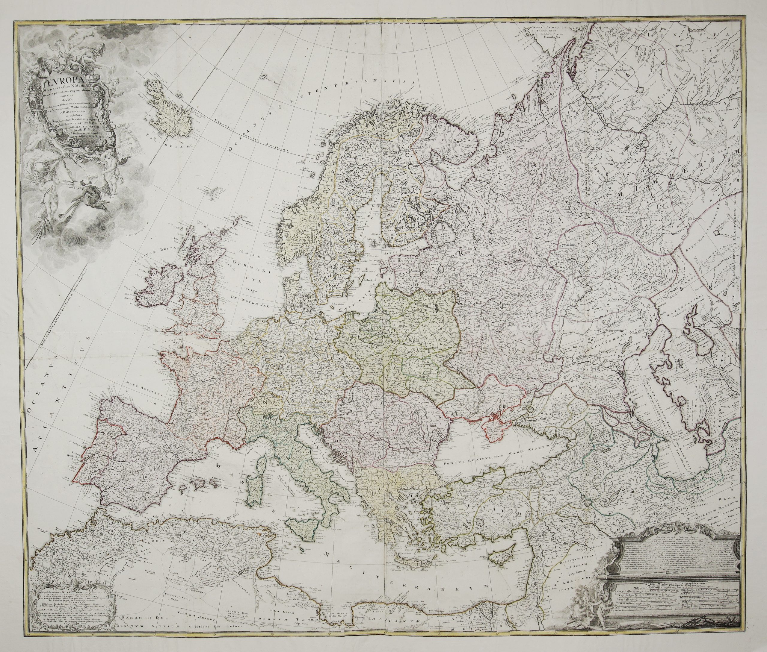
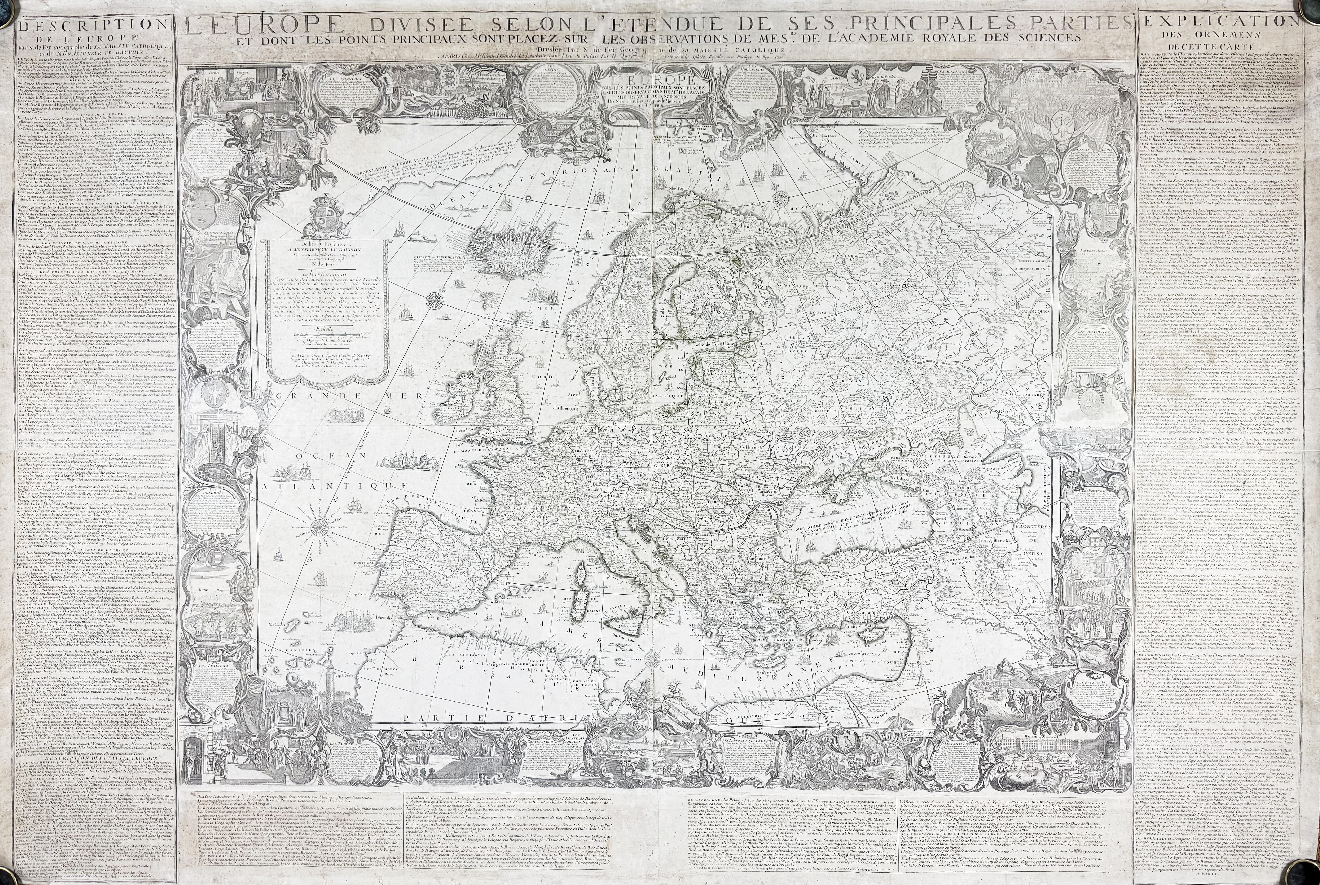
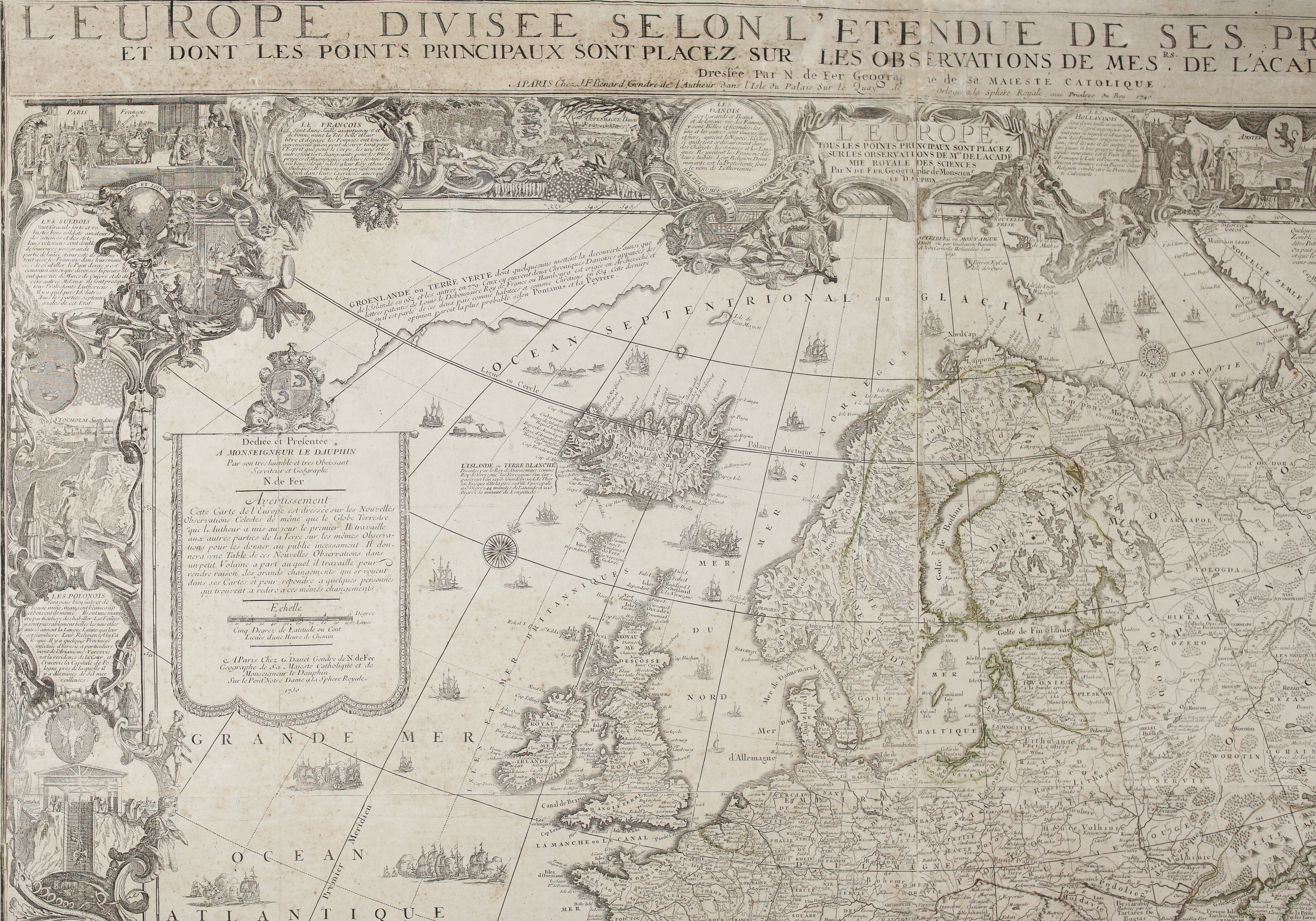
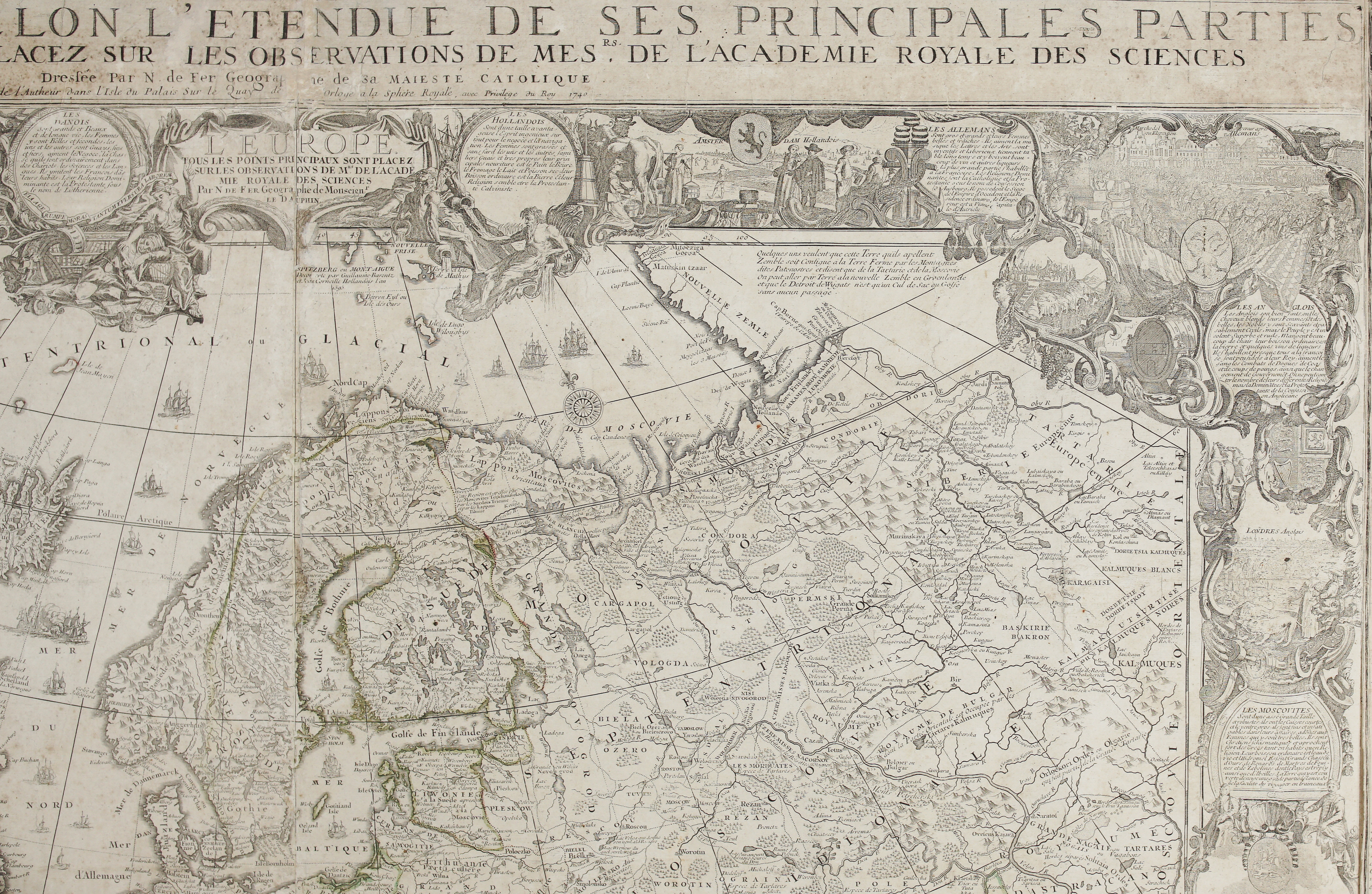
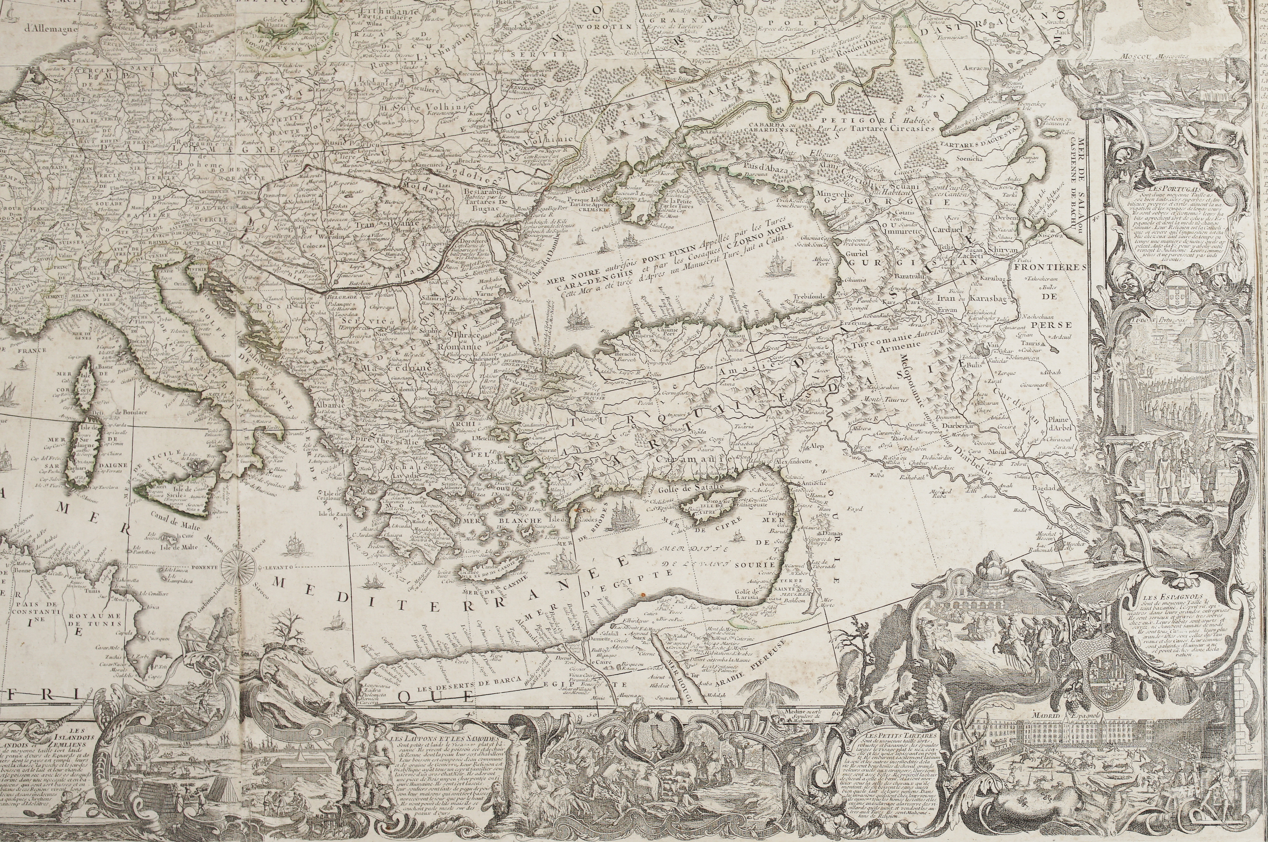
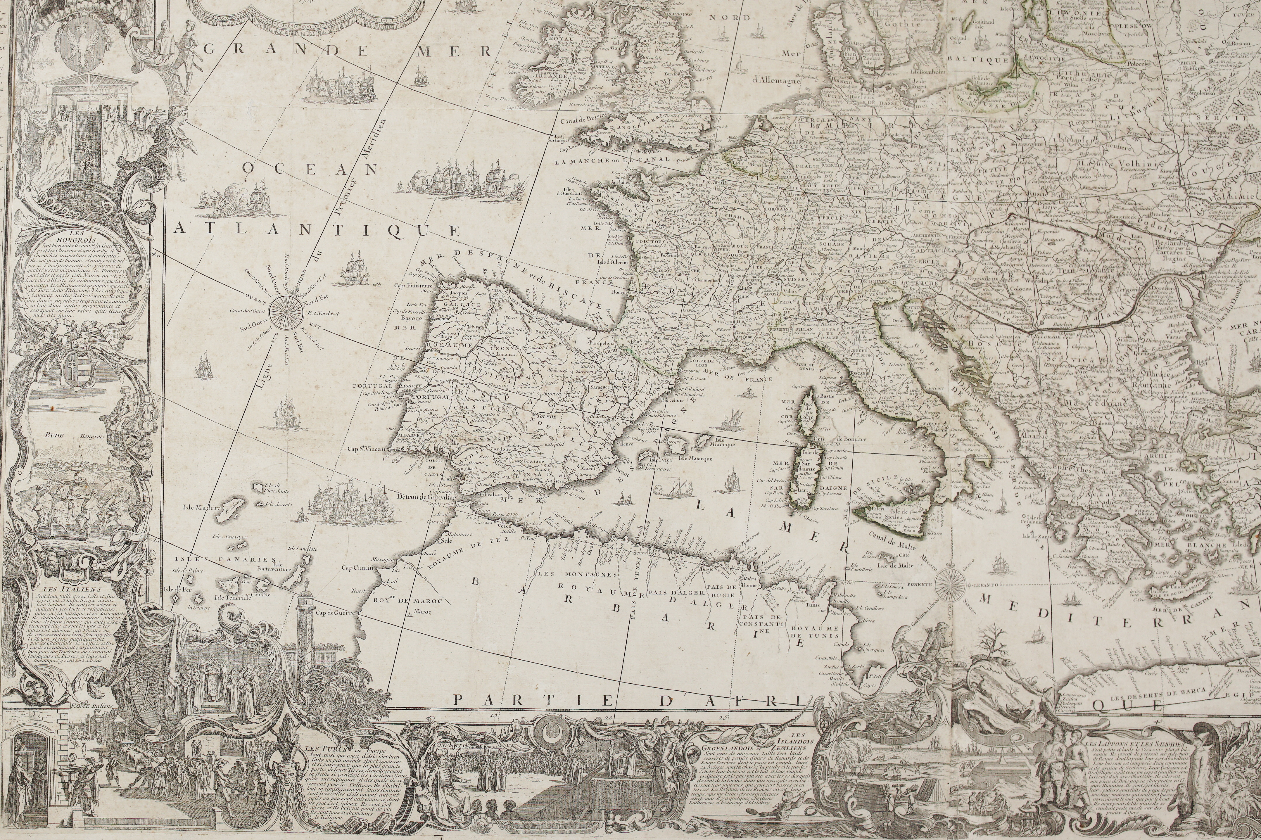
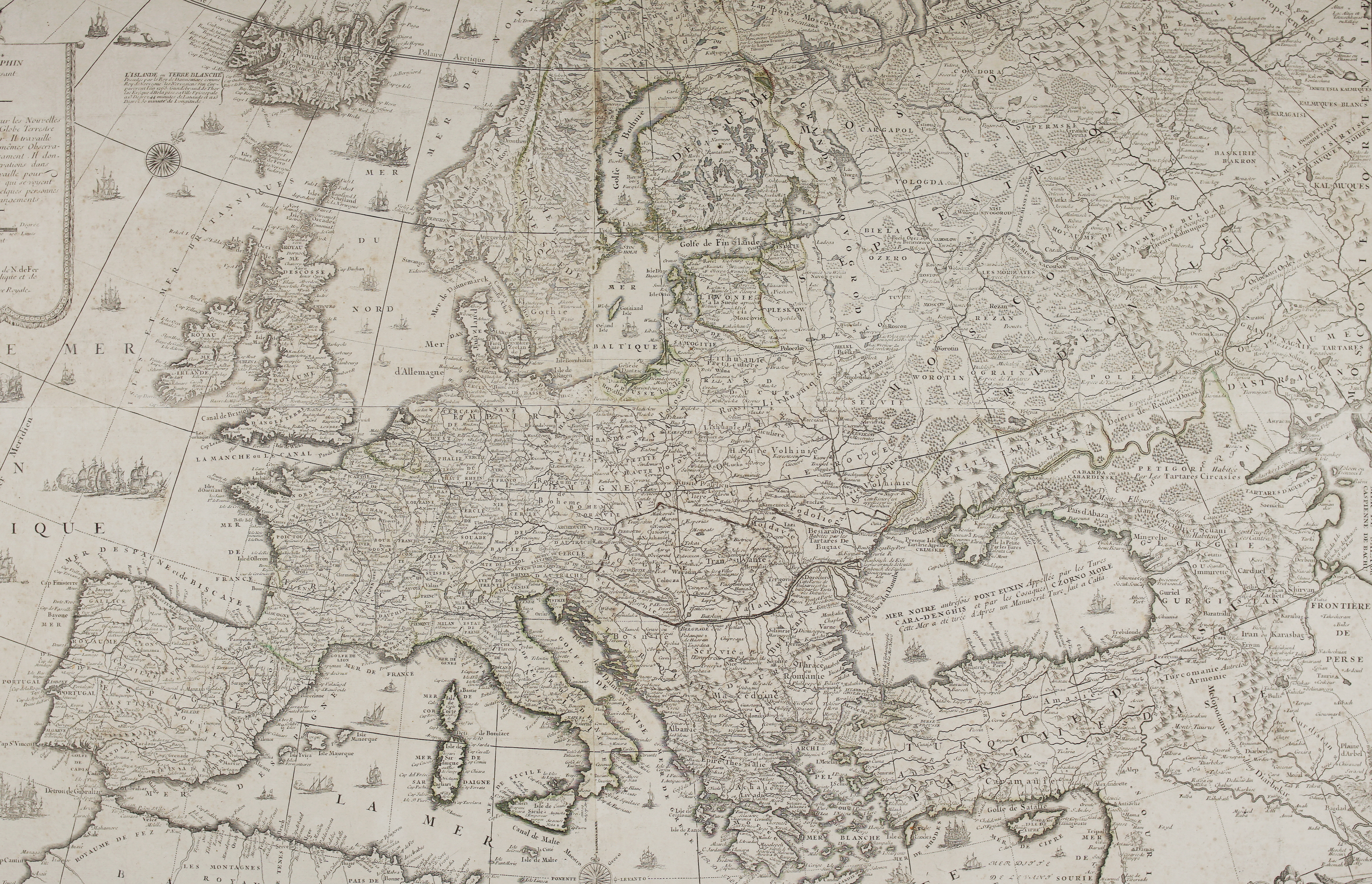
Title: “L’Europe divisée selon l’étendue de ses principales parties, et dont les points principaux sont placez sur les observations de Messrs. de l’Académie Royale des Sciences”
Description:
One of Nicolas de Fer’s most ambitious wall maps of Europe — the fully developed “text-and-emblem” edition, framed by its own explanatory apparatus rather than left to speak for itself.
De Fer, geographer to the King of Spain and to the Dauphin, first issued this map of Europe in 1695, drawn on the latest observations of the Royal Academy of Sciences; in that original state it was a comparatively plain sheet. The map is bordered by sixteen finely engraved medallions of the peoples of Europe in national dress, each with a brief character sketch and, for the principal nations, a view of their capital: the French of Paris, the Danes of Copenhagen, the Dutch of Amsterdam, the Germans, the English, the Swedes of Stockholm, the Poles, the Hungarians of Buda, the Italians of Rome, the Muscovites, the Turks of Constantinople, the Spanish of Madrid and the Portuguese of Lisbon — together with the Lapps and Samoyeds, the Greenlanders and Icelanders, and the Tartars at the map’s furthest margins. These, together with the two flanking columns of engraved text — Description de l’Europe to the left, Explication des Ornemens de cette Carte to the right — were only added after de Fer’s death in 1720, when his son-in-law Guillaume Danet inherited the business and reissued the plates from 1723.
This particular impression was printed later still: the title imprint credits another of de Fer’s sons-in-law, J.F. Bénard, publishing from de Fer’s own long-standing address on the Quai de l’Horloge, and is dated 1740 — while the dedication cartouche lower on the sheet retains Danet’s imprint and the date 1730, a trace of the plate’s passage between the two branches of the family firm.
The map extends from Greenland and the Arctic Ocean in the north to the Barbary coast and deserts of North Africa in the south, and east past the Black Sea and Crimea to the frontiers of Persia, with a dedication cartouche to Monseigneur le Dauphin.
Cartographer: Nicolas de Fer / J.F. Bénard (dedication cartouche dated 1730, Guillaume Danet)
Sheet size: 159,7 x 108,5 cm
Year: 1740
Technique: copper engraving
Condition:
Good condition. Contemporary highlighting in green. A few faint spots of foxing, mainly confined to the text panels. Engraved and laid down on canvas for wall display.
This is an original antique map published in 1740 and not a modern copy or reprint
On your request I will provide a Certificate of Authenticity
In stock