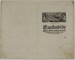
CA 1550 – S. Munster – Das Kunigreich Engellandt
Title: “Das Kunigreich Engellandt mit dem Anstossenden Reich Schottlandt so vor Zeiten Albion und Britannia haben Geheissen”
Description:
The first edition of Münster’s first printed separate map of England and Wales, with Scotland as far north as Edinburgh, the east coast of Ireland and north coast of France. North oriented to the left. The map primarily identifies Cathedral towns. A key in the upper left corner shows the English and Latin names for 17 major place names in England. The flags of both England and Scotland are shown.
Map comes from the German edition of Sebastian Münster’s Cosmography, titled “Cosmographey oder beschreibung aller Länder”, published ca. 1550 by Heinrich Petri in Basel. The woodblock of this map was used first in Münster’s Geographia Universalis in 1540.
Cartographer: Sebastian Munster (1488 – 1552)
Sheet size: 36,9 x 28,0 cm
Year: ca 1550
Technique: woodcut
Condition:
Good condition. Centerfold reinforced for protective reasons. Recto and verso with contemporary handwritten annotations. In top margin few letters are missing .
This is an original antique map published ca 1550 and NOT a modern copy or reprint!