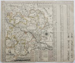
1720 – G. Bodenehr – Welt
200 €
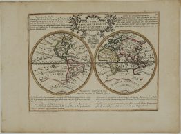
Titles: “Carta Hydrographica oder Algemeine Welt und Commercien Carte…”
Description:
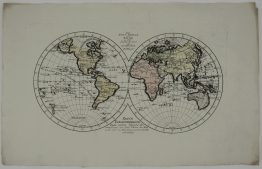
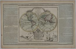
Attractive world map in Mercator projection that shows the Dutch commercial interests in the East and West Indies. The map combines several cartographic myths including the island of California, the great southern landmass (here labelled Laender des Sud Pols), and an unnamed landmass situated between Asia and North America. The trade routes to the East and West Indies are displayed. Side panels with description of the “large lakes” which surround the Earth” and “the small lakes from which derive the large ones”.
Comes from the book “Atlas curieux, oder neuer und compendieuser Atlas, in welchem auser den General Land Charten…” published by Gabriel Bodenehr in Augsburg, 1720.
Publisher: Gabriel Bodenehr (1664 – 1758)
Sheet size: 30,9 x 18,5 cm
Year: 1720
Technique: copper engraving
Condition:
Good condition. Watermarked paper. Stained in upper margin.
This is an original antique map published in 1720 and NOT a modern copy or reprint
On your request I will provide a Certificate of Authenticity
In stock