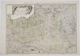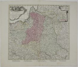
1686 – P. Du Val – Royaume de Pologne
3,500 €
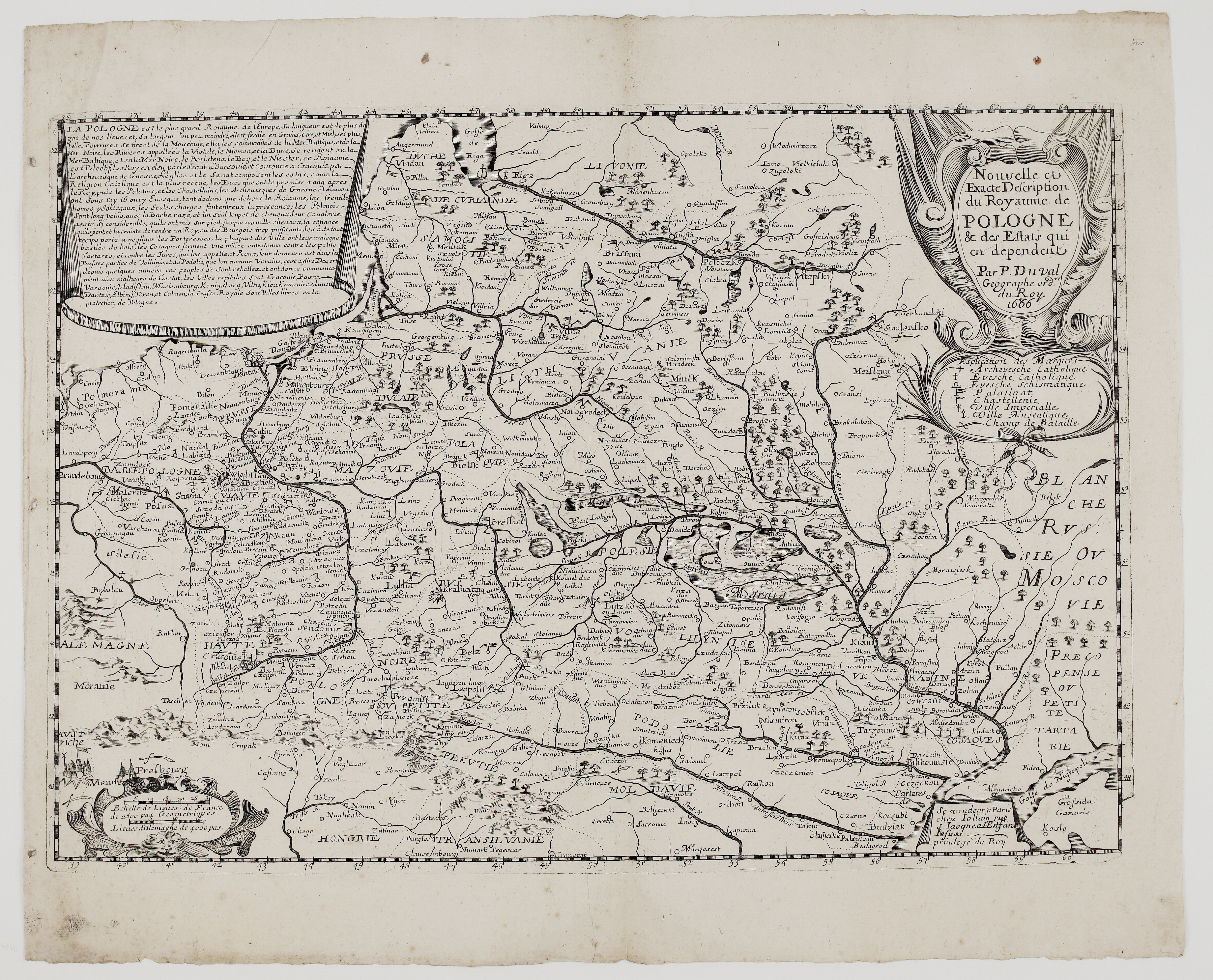
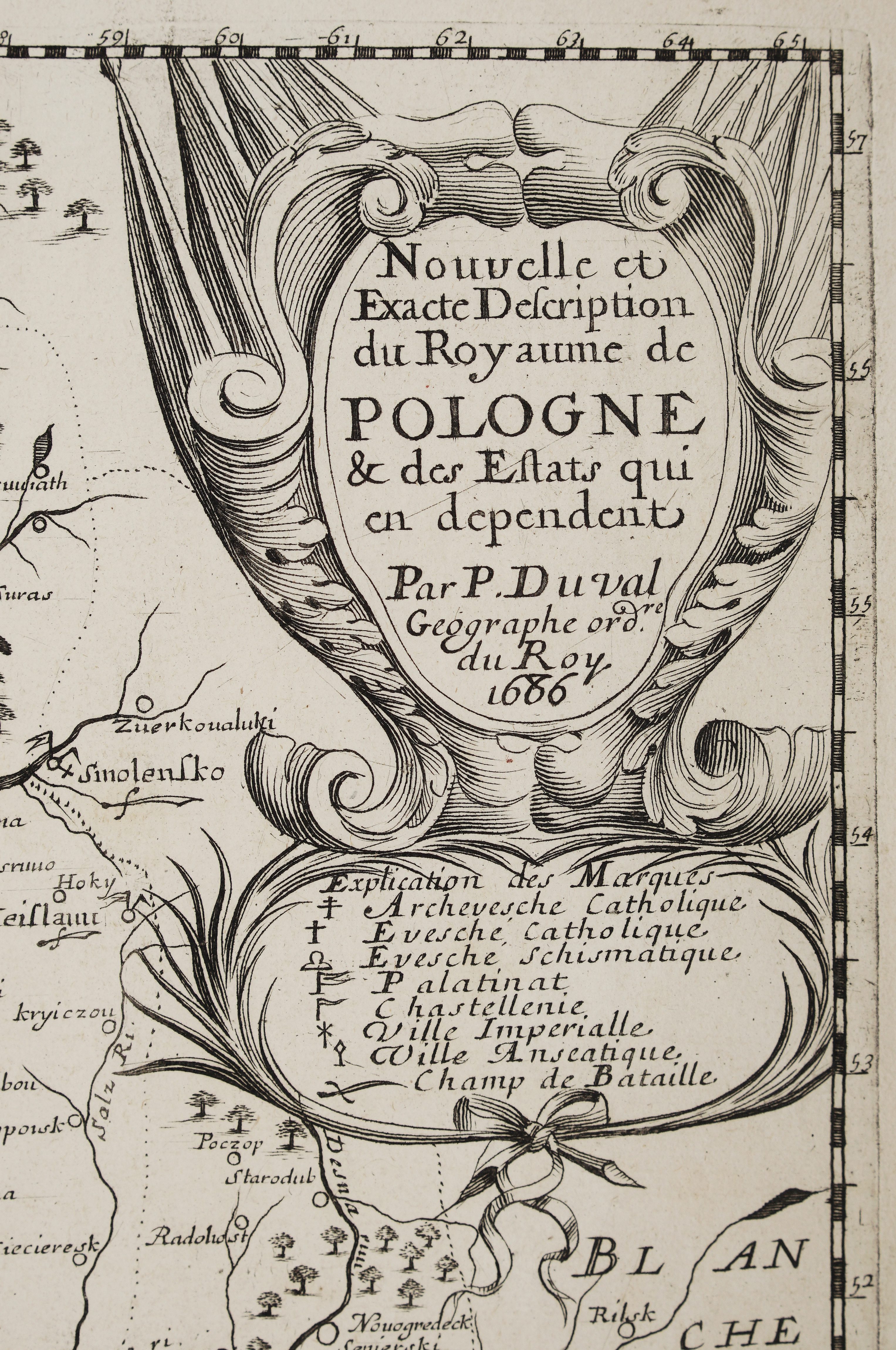
Title: “Nouvelle et Exacte Description du Royaume de Pologne & des Estats qui en dependent. Par P. Duval Geographe ord.re du Roy. 1686”
Description:
Extremely rare and decorative antique map of Poland, Lithuania, Livonia, Belarus and Ukraine, published in Paris under the name of Pierre Duval, Geographer to the King and nephew of Nicolas Sanson. Duval died in 1683, and his wife and daughters took over his business, so the date 1686 marks a posthumous issue.
The map covers the whole Polish-Lithuanian Commonwealth, from Pomerania and Silesia in the west to Smolensk and Muscovy in the east. It runs from Livonia and Courland in the north to Moldavia, Transylvania and the Black Sea coast in the south. Names appear in 17th-century French spellings, including Samogitie, Vilne (Vilnius), Troki (Trakai), Kouno (Kaunas), Grodno, Novogrodeck and Minsk. Forests, the Pripet marshes of Polesie, rivers and province lettering are drawn throughout.
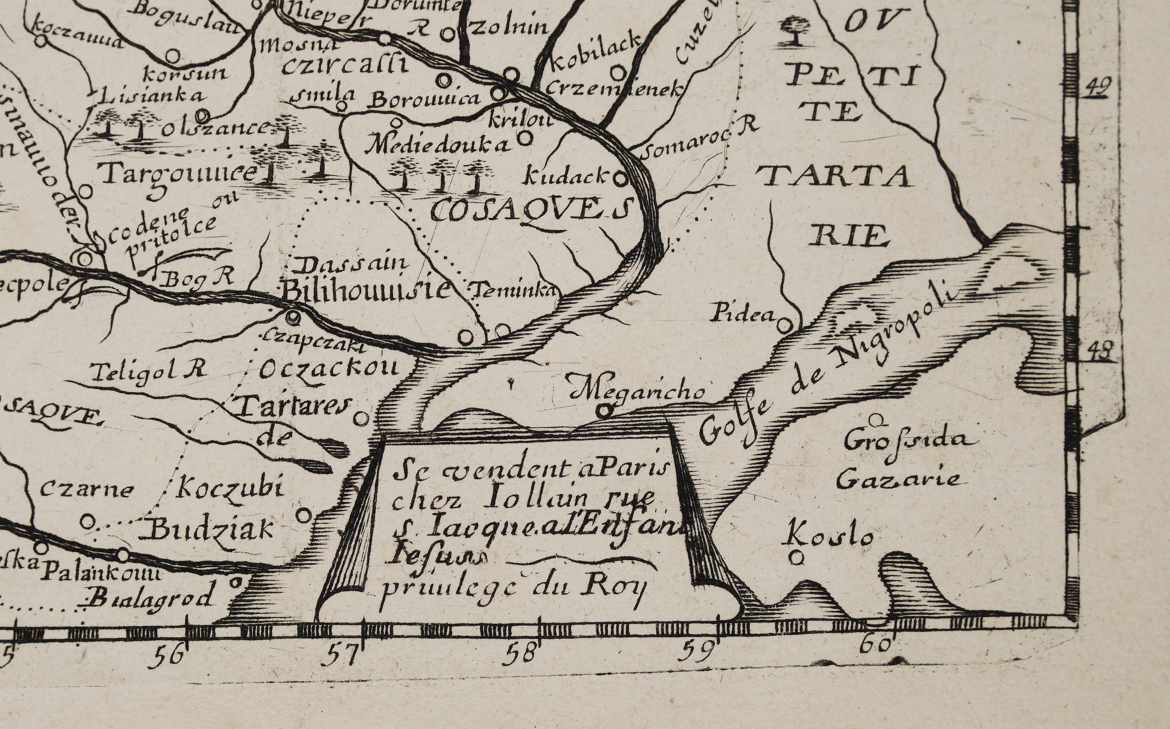
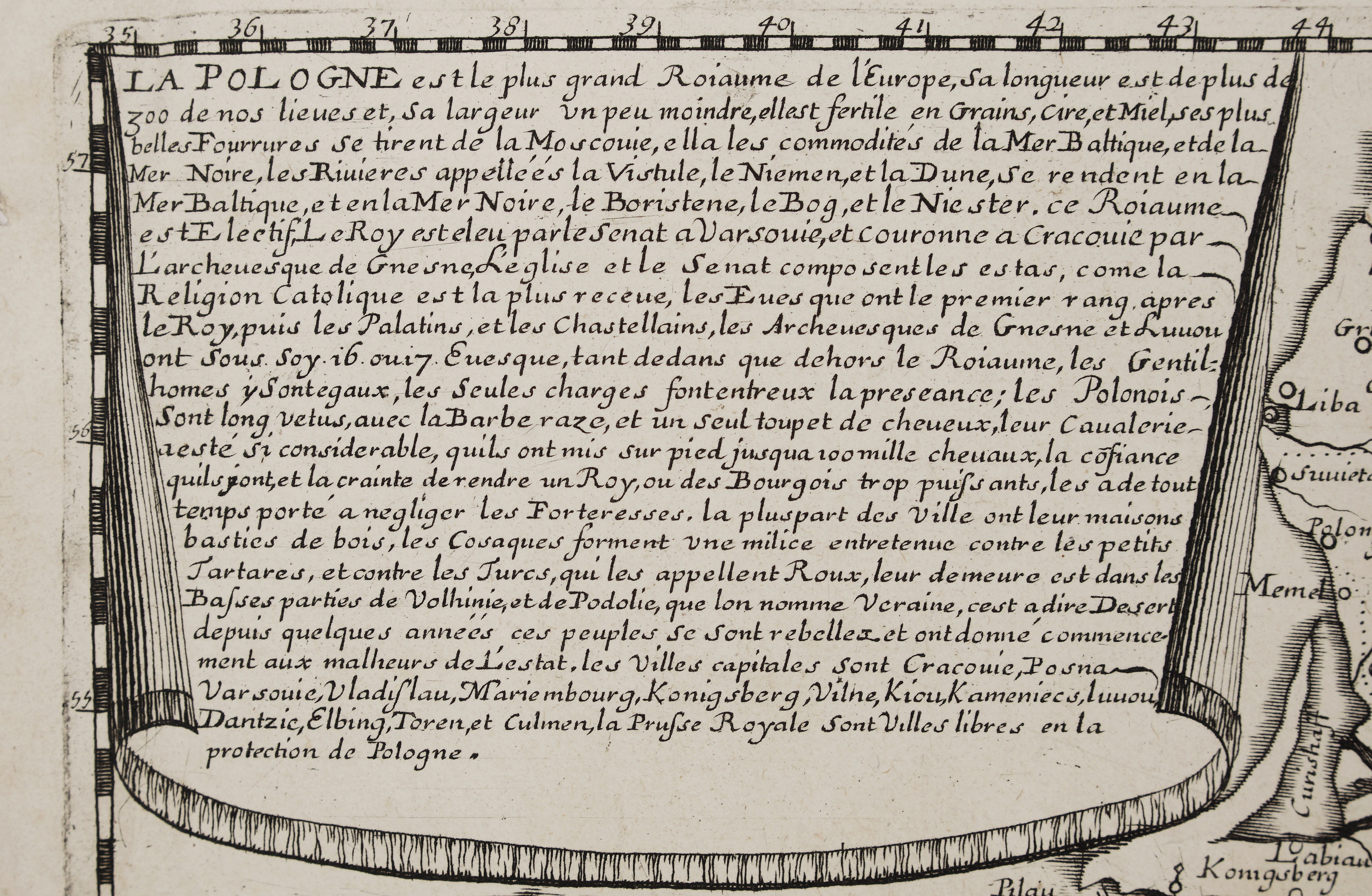
A legend (“Explication des Marques”) identifies archbishoprics, Catholic and “schismatic” (Orthodox) bishoprics, palatinates, castellanies, imperial and Hanseatic towns and battlefields. A scroll at upper left carries a French description of the kingdom. It covers the kingdom’s size and produce, its elective monarchy (the king elected at Warsaw and crowned at Kraków by the Archbishop of Gniezno), the Polish nobility and cavalry, and the lands of the Cossacks (“Cosaques”) Ukraine, Little Tartary (“Petite Tartarie”), the fortress of Kudack and Ochakiv (“Oczackou”), and the gulf labeled “Golfe de Nigropoli”. Small pictorial views of Vienna and Pressburg sit at lower left, and the sheet carries the Paris imprint of Jollain (“Se vendent a Paris chez Iollain rue S. Iaque a l’Enfant Jesus, privilege du Roy.”).
On top left corner description’s translation:
“The scroll at upper left reads, in translation: Poland is the largest kingdom of Europe, more than 300 of our leagues long and a little less wide. It is fertile in grain, wax and honey; its finest furs come from Muscovy; and it enjoys both the Baltic and the Black Sea, the Vistula, Niemen and Dvina flowing to the Baltic and the Dnieper, Bug and Dniester to the Black Sea. The kingdom is elective: the King is elected by the Senate at Warsaw and crowned at Kraków by the Archbishop of Gniezno. The Church and the Senate make up the estates; the bishops rank first after the King, then the palatines and castellans. The nobles are equal, and only offices decide precedence. The Poles wear long garments, shave their beards and keep a single tuft of hair. Their cavalry has reached 100,000 horse, but confidence, and fear of making a king or the townsmen too powerful, has led them to neglect fortresses. Most towns are built of wood. The Cossacks form a militia against the Lesser Tatars and the Turks, living in the lower parts of Volhynia and Podolia called “Ukraine,” that is, “Desert.” Having rebelled in recent years, these people began the misfortunes of the State. The principal cities are Kraków, Poznań, Warsaw, Vladislau, Marienburg, Königsberg, Vilnius, Kyiv, Kamieniec and Lwów. Danzig, Elbing, Thorn and Culm, in Royal Prussia, are free cities under Poland’s protection.”
Separately issued sheet map, published in Paris by Gérard Jollain the younger (rue Saint-Jacques, à l’Enfant Jésus) under Pierre Duval’s name, three years after Duval’s death.
Author: Pierre Du Val (1618–1683)
Publisher: Gérard Jollain II (1638–1724)
Sheet size: 54,9 x 44,6 cm
Year: 1686
Technique: copper engraving
Condition:
Good, original condition. Watermarked paper. Wide margins with the plate mark visible. Two small binding holes in the left margin and a few light marginal spots.
This is an original antique map published in 1686 and NOT a modern copy or reprint
On your request I will provide a Certificate of Authenticity
In stock