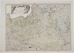
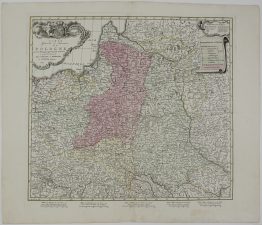
1700 – C. Danckerts II – Regni Poloniae Lithuaniae
2,500 €
Title: “Regni Poloniae et ducatus Lithuaniae Voliniae, Podoliae Ucraniae Prussiae et Curlandiae descriptio emendata per Cornelium Danckerts. Amstelodami cum Privilegio.”
Description:
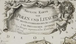
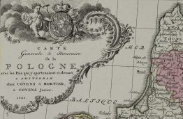
Very rare and decorative map of the Polish-Lithuanian Commonwealth. The map includes parts of modern-day Poland, Lithuania, Belarus, Ukraine, Latvia (Courland), and Russia. It spans dynamically from the Baltic Sea (Mare Balticum / Oost Zee) down toward the Black Sea region. Positioned in the lower-left corner, the highly detailed title cartouche features allegorical figures, including a Roman-style soldier/general holding a shield with heraldic crests and stylized figures representing local nobility and regional personifications. First edition.
The map comes from the atlas “Atlas Bij Iustus Danckers in de Calverftraet inde Dancbaerheijt…” published by Cornelis Danckerts II in Amsterdam, 1700.
Cartographer: Cornelis Danckerts II (1664–1717 )
Sheet size: 65,8 x 55,5 cm
Year: 1700
Technique: copper engraving
Condition:
Good condition. Original outline coloring. A few small marginal splits and brownish spots present.
This is an original antique map published in 1700 and not a modern copy or reprint.
On your request I will provide a Certificate of Authenticity
In stock