1578-1588 – S. Munster – Algier
150 €
Title: Algier
Algiers
Description:
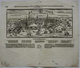
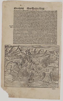
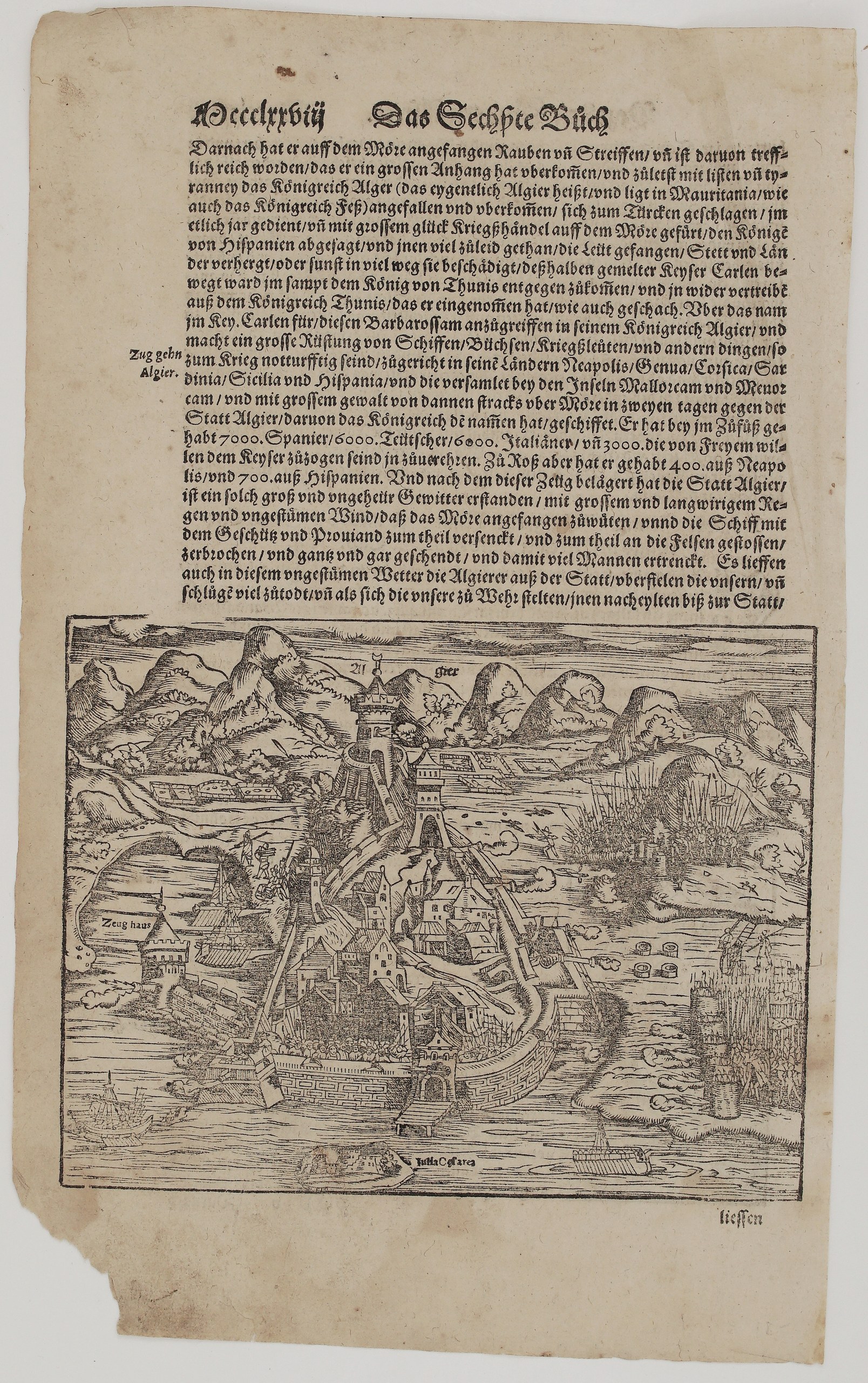
This woodcut view of Algiers comes from Sebastian Münster’s Cosmographey, the most widely read description of the world in 16th-century Germany. It shows the walled city climbing its hill to a crowned citadel. Labels mark the “Zeug haus” (arsenal) by the harbour and the islet “Iulia Caesarea”, an ancient name then given to Algiers. Ships sail in the harbour, guns fire from the walls, and soldiers climb ladders against a tower. Massed troops camp on the hills to the right. Unknown issue of Sebastian Münster’s Cosmographey.
The scene is Emperor Charles V’s ill-fated expedition of October 1541 against Algiers, the base of the corsair Khair ad-Din Barbarossa. The German text above the view tells the story:
- Barbarossa rose from piracy to seize the kingdom of Algiers.
- The Emperor gathered ships, guns and men from Naples, Genoa, Corsica, Sardinia, Sicily and Spain, mustered them at Mallorca and Menorca, and crossed to Algiers in two days.
- His army counted 7,000 Spanish, 6,000 German and 6,000 Italian foot soldiers, 3,000 volunteers, and 1,100 horsemen.
- A sudden storm wrecked and sank much of the fleet with its guns and provisions, and the Algerians sallied out against the besiegers.
The side-note reads “Zug gehn Algier” (Expedition to Algiers).
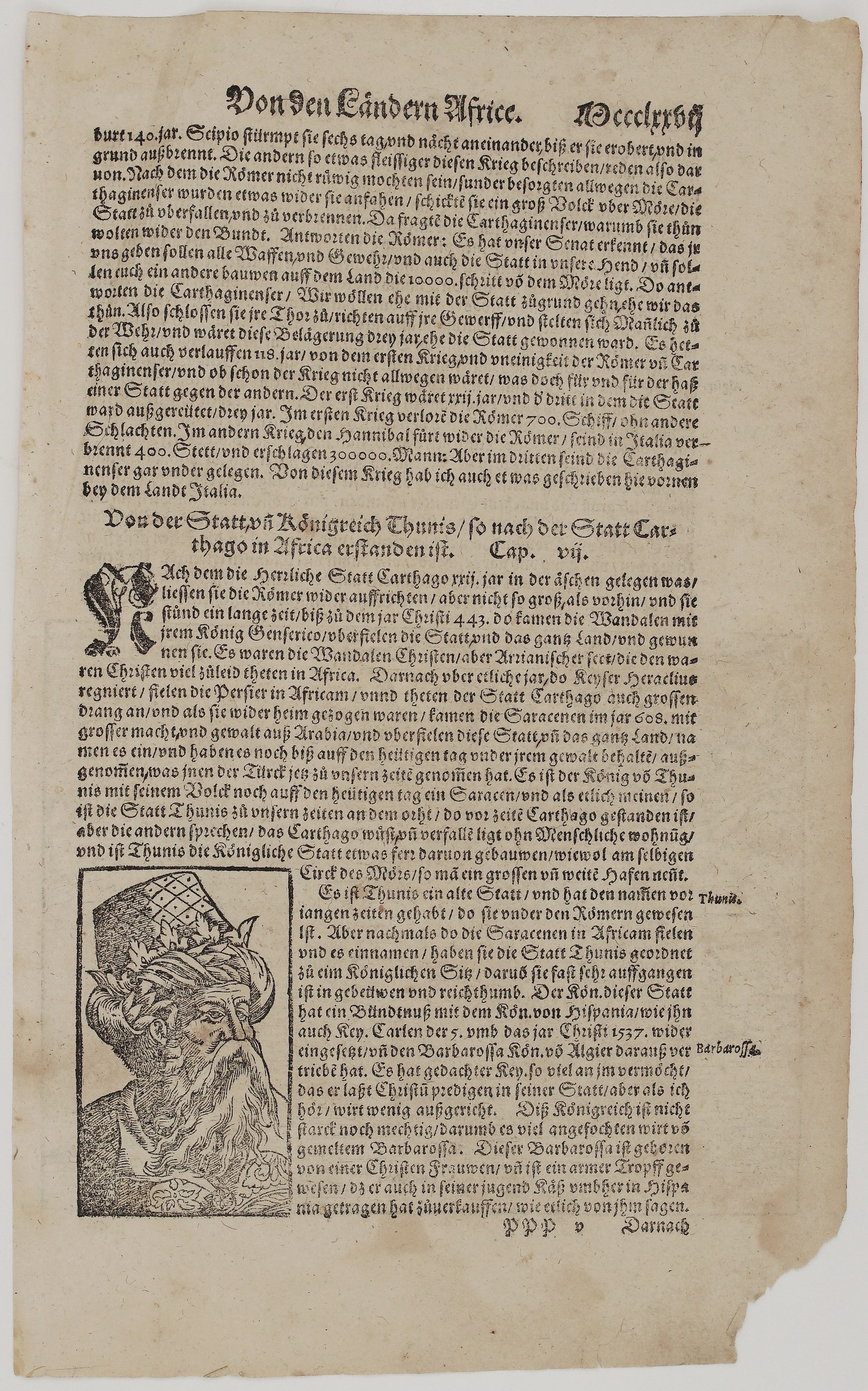
The other side has the end of the chapter on Carthage and the Punic Wars, followed by Cap. VII, “Von der Statt vñ Königreich Thunis” (Of the city and kingdom of Tunis). It covers the Vandals, the Saracens and Charles V’s restoration of the King of Tunis. A large woodcut portrait of Barbarossa illustrates it, with a note that he was born to a Christian mother and sold cabbages in Spain as a youth.
Cartographer: Sebastian Munster (1488 – 1552)
Publisher: Henricpetri press, Basel
Leaf size: 33,3 x 20,5 cm
Year: 1578 – 1588
Technique: Woodcut, with letterpress text
Condition:
Good. Strong, dark impression. The paper is toned, with light soiling and spotting, mostly in the margins. The lower outer corner has a marginal loss that does not touch the woodcut or text. The edges are slightly frayed with small chips, and there is light show-through of the text.
This is a genuine antique map published between 1578 – 1588 and not a modern copy or reprint
On your request I will provide a Certificate of Authenticity
In stock