1578-1588 – S. Munster – Das gantz Franckreich
500 €
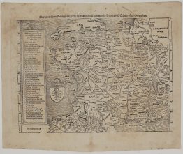
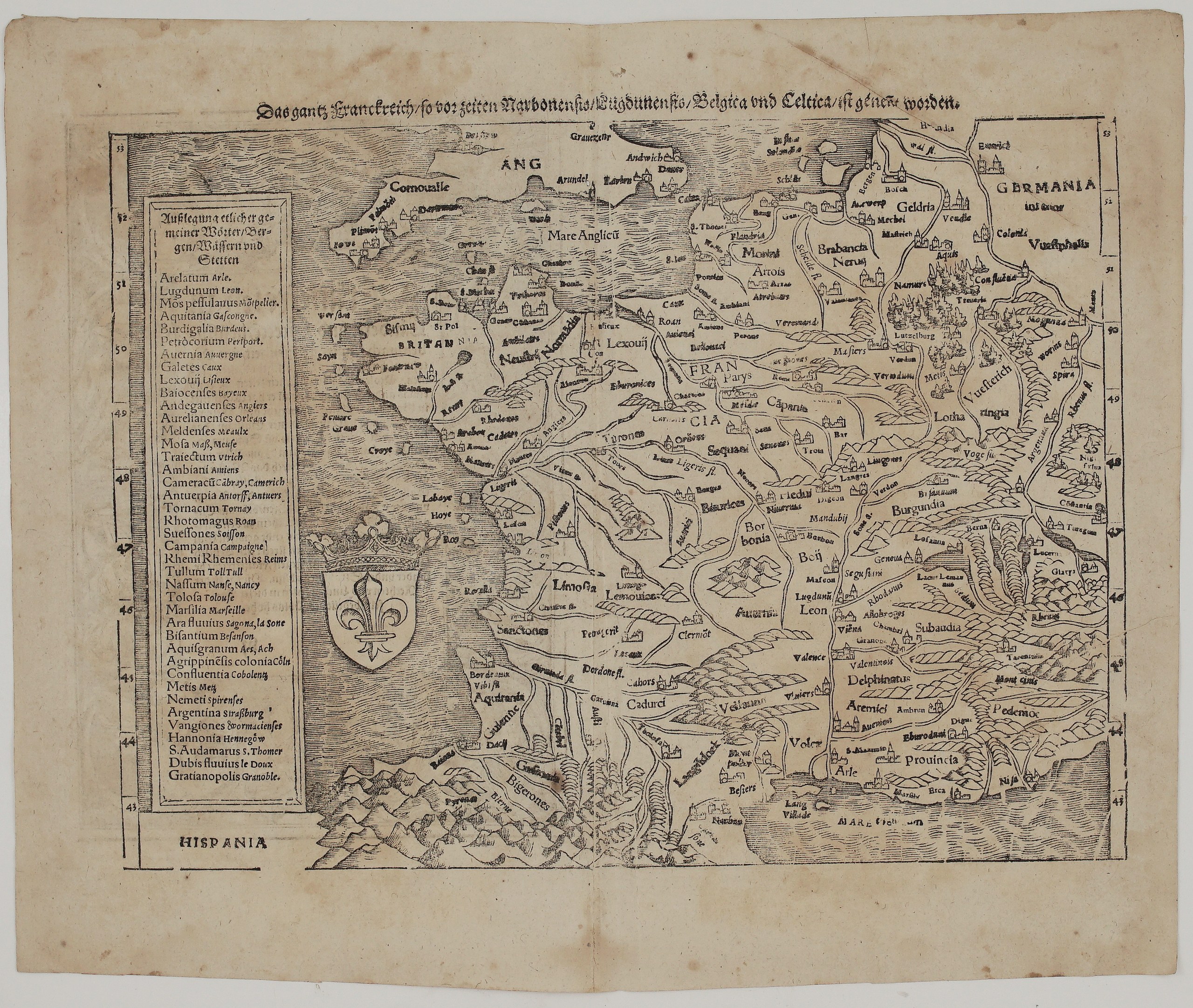
Title: Das gantz Franckreich, so vor zeiten Narbonensis, Lugdunensis, Belgica und Celtica, ist genennt worden
(All of France, which in former times was called Narbonensis, Lugdunensis, Belgica and Celtica)
Description:
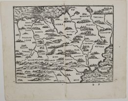
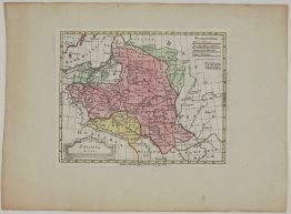
This is an original double-page woodcut map of France from Sebastian Münster’s Cosmographey, published in Basel by the Henricpetri press. It is one of the regional maps in the atlas section at the front of the book. Unknown issue of Sebastian Münster’s Cosmographey.
The map is oriented with north at the top and has a latitude scale from 43° to 53° at the sides. It shows the whole kingdom of France:
- Cities: Paris (Parys), Rouen, Orléans, Tours, Lyon, Bordeaux, Toulouse, Marseille, Arles and Dijon.
- Provinces: Brittany, Normandy, Picardy, Champagne, Burgundy, the Bourbonnais, the Limousin, Auvergne, Guyenne, Gascony, Languedoc, Provence and the Dauphiné.
- Beyond the borders: Savoy, Piedmont and the Swiss lakes with Bern, Lucerne and Glarus in the east. Lorraine, Luxembourg, Flanders, Brabant, Guelders and Holland in the north. The south coast of England (Cornwall, Arundel, Dover) across the Channel, and Spain beyond the Pyrenees.
- Decoration: the royal arms of France, a crowned fleur-de-lis shield, are set in the Atlantic. A tall panel on the left, “Außlegung etlicher gemeiner Wörter, Bergen, Wässern und Stetten”, translates the old Latin place names into the forms used in Münster’s day, such as Lutetia to Paris and Lugdunum to Leon.
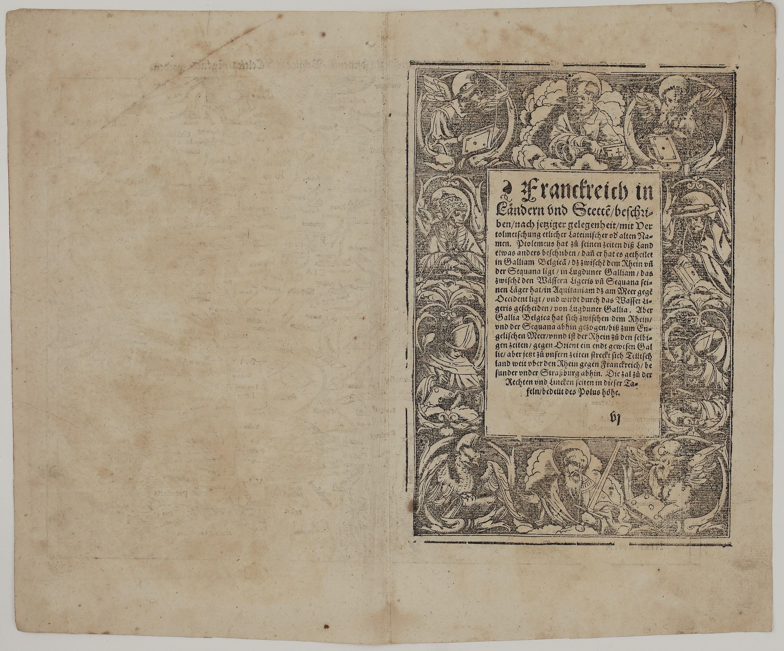
On verso is the description “Franckreich in Ländern und Stetten beschriben…”. It explains Ptolemy’s division of ancient Gaul into Gallia Belgica, Lugdunensis and Aquitania, and notes that in Münster’s day Germany reached across the Rhine as far as Strasbourg. The text is framed by a large woodcut border showing the Four Evangelists with their symbols, the Church Fathers, and Saints Peter and Paul.
Cartographer: Sebastian Munster (1488 – 1552)
Publisher: Henricpetri press, Basel
Leaf size: 40,0 x 33,0 cm
Year: 1578 – 1588
Technique: Woodcut, with letterpress text
Condition:
Good. The impression is strong. There is a central vertical fold as issued, with some wear along it. There is even toning, a few small spots and light soiling, and a little wear and a few small chips at the edges. The margins are complete.
This is an original antique map published between 1578 – 1588 and not a modern copy or reprint
On your request I will provide a Certificate of Authenticity
In stock