

1578 – S. Munster – Landtafel des Polands Littaw
350 €
Title: “Landtafel des Ungerlands/Polands/Reüssen/Littaw/Walachei/Bulgarei.”
Description:
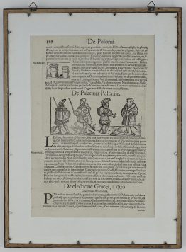
One of the earliest maps of Poland, with Lithuania to the North, south of the Danube, east to the Black Sea with river Dnieper basin and Bessarabia. Based on a map by Bernard Wapowski and for the lower Danube on Georg Reichersdorfer.
Map comes from the German edition of Sebastian Münster’s Cosmography, titled “Cosmographey oder beschreibung aller Länder”, published in 1578 by Heinrich Petri in Basel.
Cartographer: Sebastian Munster (1488 – 1552)
Leaf size: 39,6 x 31,7 cm
Year: 1578
Technique: woodcut
Condition:
In good condition.
This is an original antique map published in 1578 and NOT a modern copy or reprint
On your request I will provide a Certificate of Authenticity
In stock


")


