1579 – A. Ortelius – Europae
550 €
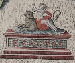
Title: “Europae”
Description:
Rare and unusual map of Europe based on Ortelius’ larger map.
Comes from French language pocket atlas “Le Miroir Du Monde, Reduict Premierement En Rithme… A Anvers, De l’Imprimerie de Christofle Plantin, pour Philippe Galle. M.D.LXXIX.Oblong octavo in contemp…” designed and engraved by Filips Galle, text by Peeter Heyns, published in Antwerp, 1579.
Cartographer: Abraham Ortelius (1527 – 1598)
Sheet size: 27.3 x 18.3 cm
Year: 1579
Technique: copper engraving
Condition:
Good condition. Fold as published.
This is an original antique map published in 1579 and NOT a modern copy or reprint
On your request I will provide a Certificate of Authenticity
In stock