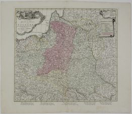
1705 – J. B. Homann – Poloniarum Magnique Ducatus Lithuaniae
2,500 €
Title: „Hanc Regni Poloniarum Magnique Ducatus Lithuaniae, Russiae, Prussiae, Mazoviae, Samogitiae, Kioviae, Volhyniae, Podoliae, Podlachiae, Livoniae, Smolensci, Severiae et Czern Novam et exactam Delineationem, addita Generali Tabula totius Electoratus Saxoniae …”
“Serenisimo Principi ac Domino DN. Christiano Ernesto March Polonicae Maiestatis Socero humiltime D.D.D. Author Ioh. Baptista Homanno Geogr. C. Norimbergae”
Description:
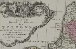
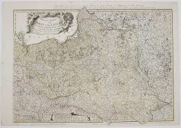
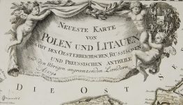
Very rare, FIRST STATE, antique map of the Kingdom of Poland and the Grand Duchy of Lithuania, extending from the Baltic Sea to the Black Sea. This specific edition is dedicated to Augustus II the Strong (Elector of Saxony and King of Poland), reflecting the dynastic union between Saxony and the Commonwealth at the time. Below the text, two putti (cherubic figures) hold the Coat of Arms of the Commonwealth, which features the Polish Eagle and the Lithuanian Vytis. Surmounting the entire heraldic arrangement is a closed royal crown, which symbolizes the sovereignty and independence of the Commonwealth.
Cartographer: Johann Baptist Homann (1664-1724)
Sheet size: 60,7 x 51,0 cm
Year: 1705
Technique: copper engraving
Condition:
Good condition. Attractive hand coloring. Original print crease in upper right corner.
This is an original antique map published in 1705 and NOT a modern copy or reprint
On your request I will provide a Certificate of Authenticity
In stock