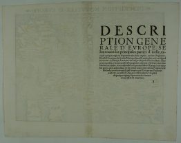
1705 – P. Schenk – Accuratissima Europae
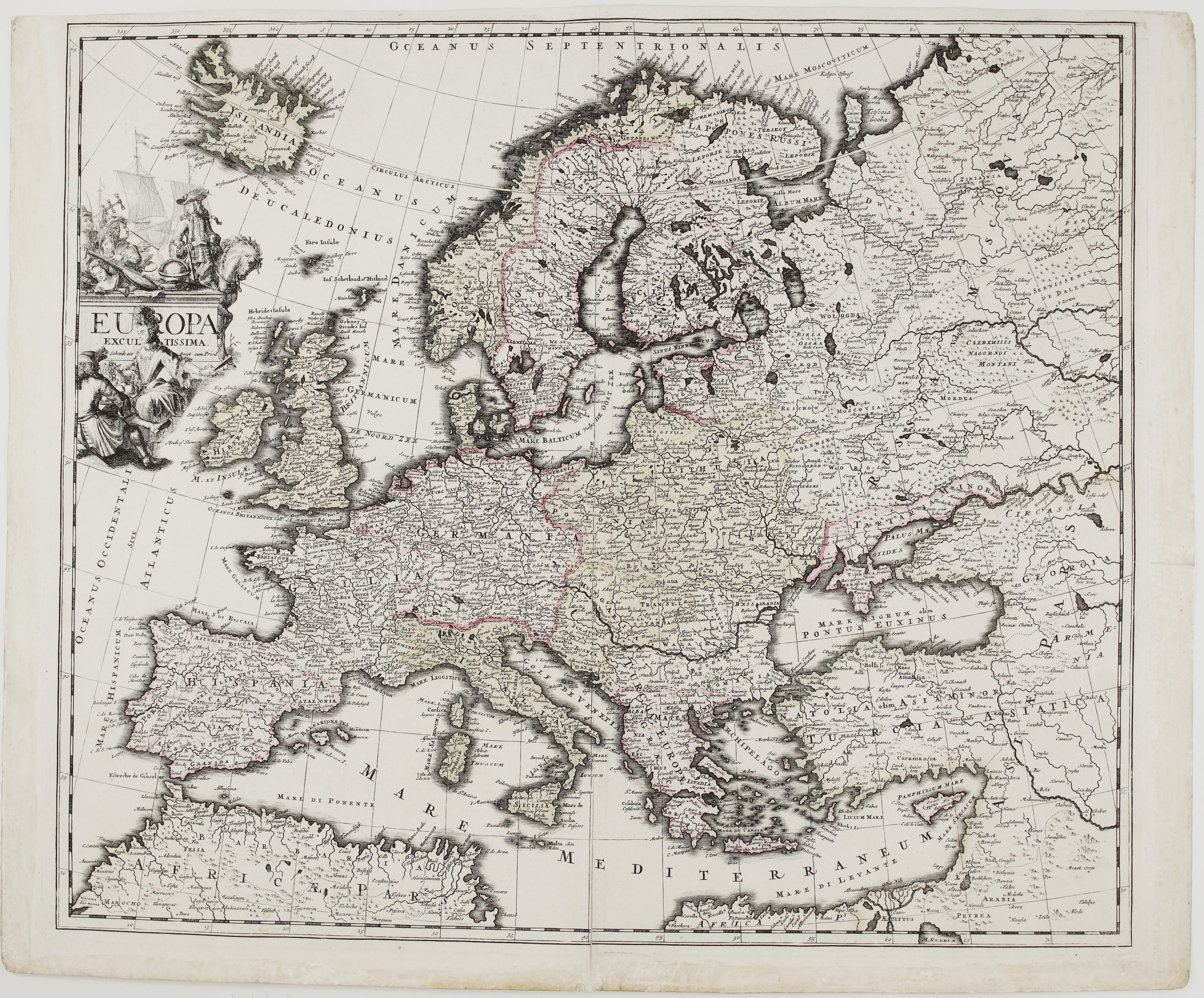
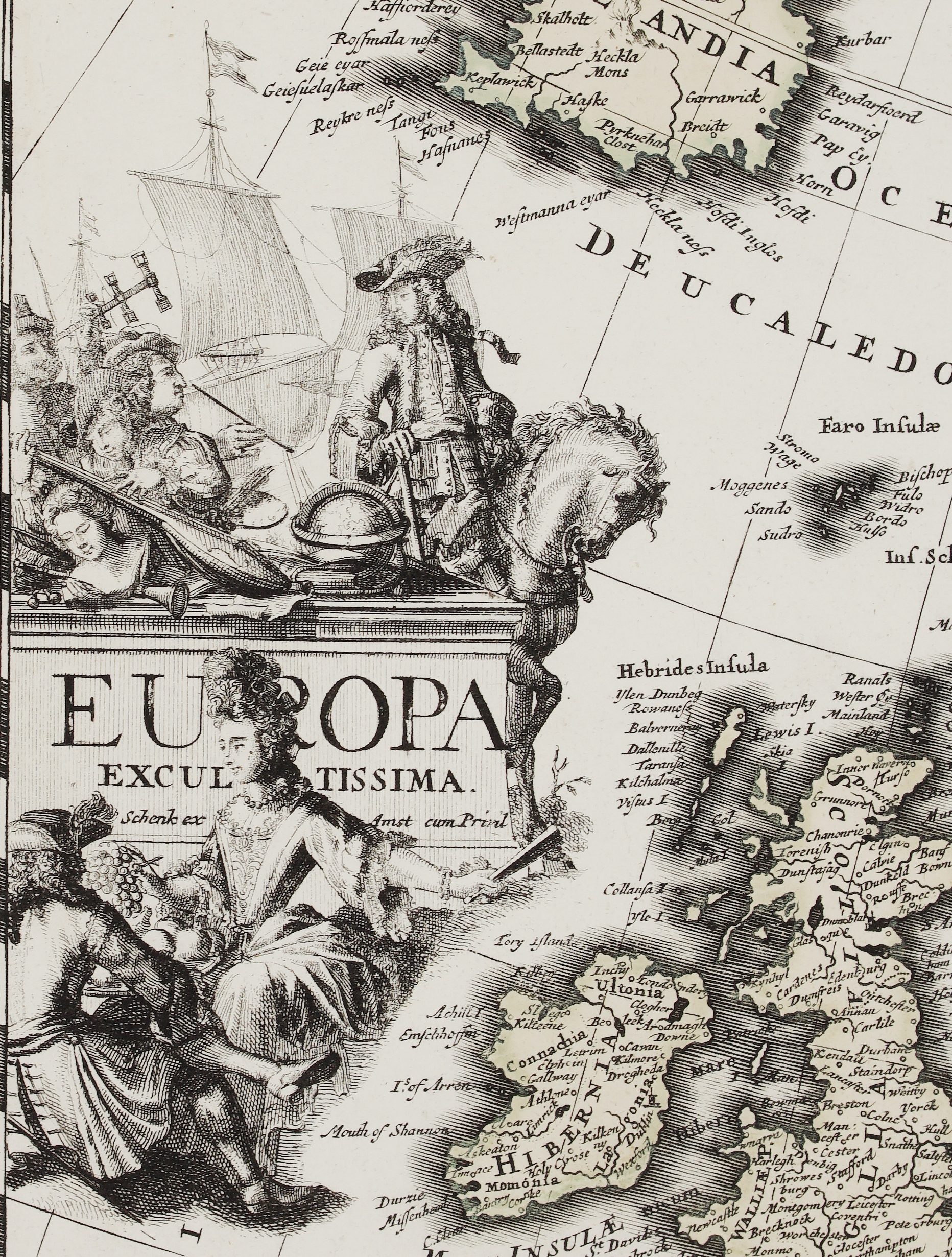
Title: “Accuratissima Europae Tabula …”
Description:
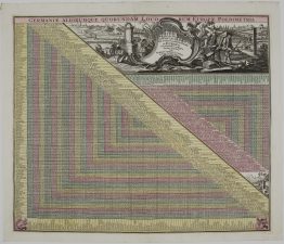
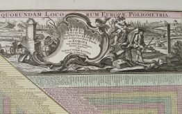
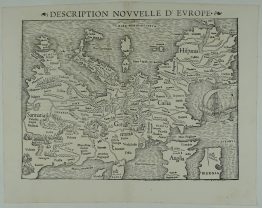
The guide to distances between all the biggest cities in Europe, including German and Dutch explanations on how to use the table. The map of Europe identifying only the cities listed in the distance guide present too.
Comes from the atlas “Contractus sive Mapparum Geographicarum Sansoniarum auctarum et correctarum Nova Congeries.” prepared by Sanson, published in Amsterdam by Petrus Schenk, 1706.
Cartographer/Publisher: Petrus Schenk (1660 – 1718)
Sheet size: 59,4 x 50,5 cm
Year: 1705
Technique: copper engraving
Condition:
Reasonable condition. Few brownish spots present. Lower marginal corners are missing.
This is an original antique map published in 1705 and NOT a modern copy or reprint
On your request I will provide a Certificate of Authenticity